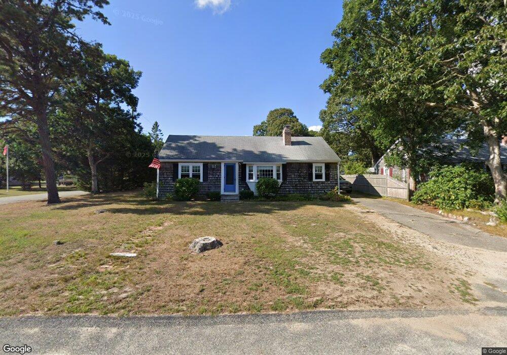
20 Teal Cir West Dennis, MA 02670
West Dennis NeighborhoodEstimated Value: $529,689 - $587,000
3
Beds
1
Bath
1,001
Sq Ft
$554/Sq Ft
Est. Value
About This Home
This home is located at 20 Teal Cir, West Dennis, MA 02670 and is currently estimated at $554,422, approximately $553 per square foot. 20 Teal Cir is a home located in Barnstable County with nearby schools including Dennis-Yarmouth Regional High School and St. Pius X. School.
Ownership History
Date
Name
Owned For
Owner Type
Purchase Details
Closed on
Jan 31, 2007
Sold by
Lonczak Edward J and Lonczak Evelyn G
Bought by
Edward J Lonczak Ret
Current Estimated Value
Purchase Details
Closed on
Aug 2, 2001
Sold by
Defino Donald D and Defino Rita A
Bought by
Lonczak Christine M
Home Financials for this Owner
Home Financials are based on the most recent Mortgage that was taken out on this home.
Original Mortgage
$143,900
Interest Rate
7.14%
Mortgage Type
Purchase Money Mortgage
Create a Home Valuation Report for This Property
The Home Valuation Report is an in-depth analysis detailing your home's value as well as a comparison with similar homes in the area
Home Values in the Area
Average Home Value in this Area
Purchase History
| Date | Buyer | Sale Price | Title Company |
|---|---|---|---|
| Edward J Lonczak Ret | -- | -- | |
| Lonczak Christine M | $179,900 | -- |
Source: Public Records
Mortgage History
| Date | Status | Borrower | Loan Amount |
|---|---|---|---|
| Previous Owner | Lonczak Christine M | $143,900 |
Source: Public Records
Tax History Compared to Growth
Tax History
| Year | Tax Paid | Tax Assessment Tax Assessment Total Assessment is a certain percentage of the fair market value that is determined by local assessors to be the total taxable value of land and additions on the property. | Land | Improvement |
|---|---|---|---|---|
| 2025 | $2,079 | $480,200 | $220,400 | $259,800 |
| 2024 | $1,936 | $440,900 | $211,900 | $229,000 |
| 2023 | $1,873 | $401,000 | $192,700 | $208,300 |
| 2022 | $1,707 | $304,800 | $150,400 | $154,400 |
| 2021 | $21,949 | $273,900 | $147,500 | $126,400 |
| 2020 | $1,664 | $272,800 | $158,800 | $114,000 |
| 2019 | $1,671 | $270,900 | $166,800 | $104,100 |
| 2018 | $19,694 | $242,900 | $148,200 | $94,700 |
| 2017 | $1,475 | $239,800 | $148,200 | $91,600 |
| 2016 | $1,501 | $229,900 | $153,500 | $76,400 |
| 2015 | $1,471 | $229,900 | $153,500 | $76,400 |
| 2014 | $1,460 | $229,900 | $153,500 | $76,400 |
Source: Public Records
Map
Nearby Homes
- 12 Spoonbill Rd
- 15 Woodside Park Rd
- 26 Center St
- 71 Main St
- 95 Center St
- 3 Pinefield Ln
- 80 Michaels Ave
- 19 Standish Way
- 4 Coffey Ln
- 61 Trotters Ln
- 125 Main St Unit 3
- 22 Wixon Rd
- 31 Easy St
- 72 Bassett Ln
- 467 Main St
- 268 Main St
- 401 Main St Unit 201
- 401 Main St Unit 101
- 37 Ocean Dr Unit 2
- 20 Aunt Debbys Rd