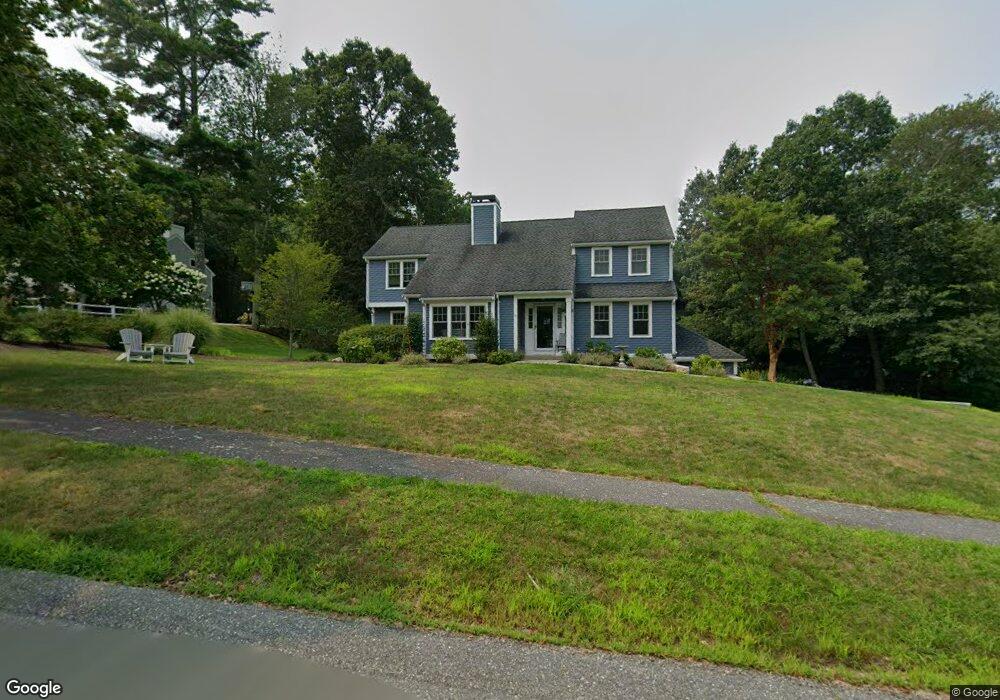
20 Telegraph Hill Rd Marshfield, MA 02050
Estimated Value: $1,072,491 - $1,351,000
4
Beds
4
Baths
2,424
Sq Ft
$483/Sq Ft
Est. Value
About This Home
This home is located at 20 Telegraph Hill Rd, Marshfield, MA 02050 and is currently estimated at $1,170,123, approximately $482 per square foot. 20 Telegraph Hill Rd is a home located in Plymouth County with nearby schools including South River, Furnace Brook Middle School, and Marshfield High School.
Ownership History
Date
Name
Owned For
Owner Type
Purchase Details
Closed on
Mar 6, 1998
Sold by
Flanagan Paul C
Bought by
Deluca Joseph A and Lloyd Deluca Teresa J
Current Estimated Value
Home Financials for this Owner
Home Financials are based on the most recent Mortgage that was taken out on this home.
Original Mortgage
$131,000
Interest Rate
6.93%
Purchase Details
Closed on
Jun 11, 1993
Sold by
Homestead Properties
Bought by
Flanagan Paul C
Create a Home Valuation Report for This Property
The Home Valuation Report is an in-depth analysis detailing your home's value as well as a comparison with similar homes in the area
Home Values in the Area
Average Home Value in this Area
Purchase History
| Date | Buyer | Sale Price | Title Company |
|---|---|---|---|
| Deluca Joseph A | $282,500 | -- | |
| Deluca Joseph A | $282,500 | -- | |
| Flanagan Paul C | $200,000 | -- | |
| Flanagan Paul C | $200,000 | -- |
Source: Public Records
Mortgage History
| Date | Status | Borrower | Loan Amount |
|---|---|---|---|
| Open | Flanagan Paul C | $400,000 | |
| Closed | Flanagan Paul C | $131,000 | |
| Closed | Flanagan Paul C | $123,500 |
Source: Public Records
Tax History Compared to Growth
Tax History
| Year | Tax Paid | Tax Assessment Tax Assessment Total Assessment is a certain percentage of the fair market value that is determined by local assessors to be the total taxable value of land and additions on the property. | Land | Improvement |
|---|---|---|---|---|
| 2025 | $9,361 | $945,600 | $320,200 | $625,400 |
| 2024 | $9,053 | $871,300 | $304,900 | $566,400 |
| 2023 | $8,998 | $769,800 | $283,100 | $486,700 |
| 2022 | $8,998 | $694,800 | $250,500 | $444,300 |
| 2021 | $8,574 | $650,000 | $250,500 | $399,500 |
| 2020 | $8,225 | $617,000 | $228,700 | $388,300 |
| 2019 | $7,956 | $594,600 | $228,700 | $365,900 |
| 2018 | $7,850 | $587,100 | $228,700 | $358,400 |
| 2017 | $7,746 | $564,600 | $228,700 | $335,900 |
| 2016 | $7,520 | $541,800 | $228,700 | $313,100 |
| 2015 | $7,100 | $534,200 | $228,700 | $305,500 |
| 2014 | $7,050 | $530,500 | $228,700 | $301,800 |
Source: Public Records
Map
Nearby Homes
- 750 Ferry St
- 32 Telegraph Hill Rd
- 21 Telegraph Hill Rd
- 0 Telegraph Hill Rd
- 770 Ferry St
- 42 Telegraph Hill Rd
- 740 Ferry St
- 776 Ferry St
- 31 Telegraph Hill Rd
- 755 Ferry St
- 54 Telegraph Hill Rd
- 788 Ferry St
- 45 Telegraph Hill Rd
- 729 Ferry St
- 743 Ferry St
- 66 Telegraph Hill Rd
- 800 Ferry St
- 59 Telegraph Hill Rd
- 712 Ferry St
- 719 Ferry St