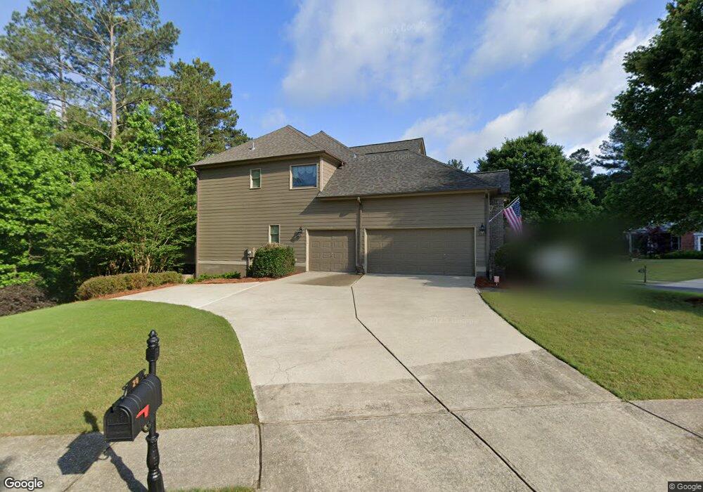
20 Thorncliff Ct Acworth, GA 30101
Cedarcrest NeighborhoodEstimated Value: $549,621 - $786,000
4
Beds
4
Baths
2,797
Sq Ft
$242/Sq Ft
Est. Value
About This Home
This home is located at 20 Thorncliff Ct, Acworth, GA 30101 and is currently estimated at $675,905, approximately $241 per square foot. 20 Thorncliff Ct is a home located in Paulding County with nearby schools including Floyd L. Shelton Elementary School at Crossroad, Sammy Mcclure Sr. Middle School, and North Paulding High School.
Ownership History
Date
Name
Owned For
Owner Type
Purchase Details
Closed on
Dec 2, 2016
Sold by
David M
Bought by
Horwath Charna L
Current Estimated Value
Purchase Details
Closed on
Sep 2, 2004
Sold by
Sharp Residential Builders & Dev
Bought by
Horwath David M and Horwath Charna
Home Financials for this Owner
Home Financials are based on the most recent Mortgage that was taken out on this home.
Original Mortgage
$238,000
Interest Rate
5.71%
Mortgage Type
New Conventional
Purchase Details
Closed on
Mar 25, 2004
Sold by
Temco Associates
Create a Home Valuation Report for This Property
The Home Valuation Report is an in-depth analysis detailing your home's value as well as a comparison with similar homes in the area
Home Values in the Area
Average Home Value in this Area
Purchase History
| Date | Buyer | Sale Price | Title Company |
|---|---|---|---|
| Horwath Charna L | -- | -- | |
| Horwath David M | $330,200 | -- | |
| Horwath David Michael | $330,200 | -- | |
| -- | $61,000 | -- |
Source: Public Records
Mortgage History
| Date | Status | Borrower | Loan Amount |
|---|---|---|---|
| Previous Owner | Horwath David Michael | $238,000 |
Source: Public Records
Tax History Compared to Growth
Tax History
| Year | Tax Paid | Tax Assessment Tax Assessment Total Assessment is a certain percentage of the fair market value that is determined by local assessors to be the total taxable value of land and additions on the property. | Land | Improvement |
|---|---|---|---|---|
| 2024 | $5,093 | $207,992 | $26,000 | $181,992 |
| 2023 | $5,507 | $213,764 | $26,000 | $187,764 |
| 2022 | $4,972 | $192,612 | $26,000 | $166,612 |
| 2021 | $4,867 | $167,480 | $26,000 | $141,480 |
| 2020 | $4,650 | $156,560 | $26,000 | $130,560 |
| 2019 | $4,487 | $148,920 | $26,000 | $122,920 |
| 2016 | $4,160 | $139,440 | $34,000 | $105,440 |
Source: Public Records
Map
Nearby Homes
- 212 Thorncliff Way
- 107 Thorncliff Landing
- 37 Bluestone Ct
- 32 Pullman Trail
- 216 Brisbane Dr
- 261 Highcrest Dr
- 127 Blazing Ridge Way
- 51 Sagemont Ct
- 986 Carl Sanders Dr
- 6 Hazelbrook Way
- 103 Candler Loop
- 123 Candler Loop
- 583 Carl Sanders Dr
- 58 Liberty View Ct
- 643 Carl Sanders Dr
- 681 Carl Sanders Dr
- 260 Carl Sanders Dr
- 300 Carl Sanders Dr
- 1022 Carl Sanders Dr
- 21 Thorncliff Ct
- 237 Thorncliff Way
- 46 Thorncliff Ct
- 230 Thorncliff Way
- 33 Thorncliff Ct
- 0 Thorncliff Way Unit 8974057
- 0 Thorncliff Way Unit 8801895
- 0 Thorncliff Way Unit 8818824
- 0 Thorncliff Way Unit 8835437
- 0 Thorncliff Way Unit 8835108
- 0 Thorncliff Way Unit 8854098
- 0 Thorncliff Way Unit 8855848
- 0 Thorncliff Way Unit 7005730
- 0 Thorncliff Way Unit 7121579
- 0 Thorncliff Way Unit 7169187
- 0 Thorncliff Way Unit 7212114
- 0 Thorncliff Way Unit 7227710
- 0 Thorncliff Way Unit 7306723
- 0 Thorncliff Way Unit 7312823
- 0 Thorncliff Way Unit 7333339