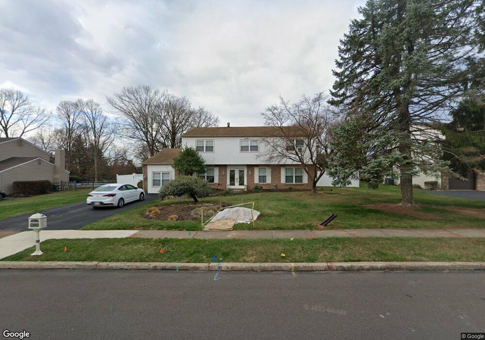
20 Toll Dr Southampton, PA 18966
Estimated Value: $654,726 - $719,000
Studio
4
Baths
2,965
Sq Ft
$232/Sq Ft
Est. Value
About This Home
This home is located at 20 Toll Dr, Southampton, PA 18966 and is currently estimated at $688,182, approximately $232 per square foot. 20 Toll Dr is a home located in Bucks County with nearby schools including Davis Elementary School, Klinger Middle School, and William Tennent High School.
Ownership History
Date
Name
Owned For
Owner Type
Purchase Details
Closed on
Jul 1, 2015
Sold by
Mitchell Robert M and Mitchell Ilene B
Bought by
Mitchell Ilene B and Mitchell Andrea
Current Estimated Value
Home Financials for this Owner
Home Financials are based on the most recent Mortgage that was taken out on this home.
Original Mortgage
$155,000
Outstanding Balance
$120,733
Interest Rate
3.83%
Mortgage Type
Future Advance Clause Open End Mortgage
Estimated Equity
$567,449
Purchase Details
Closed on
Jul 29, 1994
Sold by
Zucker Harvey S and Zucker Iris I
Bought by
Mitchell Robert M and Mitchell Ilene B
Home Financials for this Owner
Home Financials are based on the most recent Mortgage that was taken out on this home.
Original Mortgage
$137,800
Interest Rate
8.25%
Purchase Details
Closed on
Jul 27, 1978
Bought by
Zucker Harvey S and Zucker Iris I
Create a Home Valuation Report for This Property
The Home Valuation Report is an in-depth analysis detailing your home's value as well as a comparison with similar homes in the area
Home Values in the Area
Average Home Value in this Area
Purchase History
| Date | Buyer | Sale Price | Title Company |
|---|---|---|---|
| Mitchell Ilene B | -- | None Available | |
| Mitchell Robert M | $183,750 | -- | |
| Zucker Harvey S | -- | -- |
Source: Public Records
Mortgage History
| Date | Status | Borrower | Loan Amount |
|---|---|---|---|
| Open | Mitchell Ilene B | $155,000 | |
| Closed | Mitchell Robert M | $137,800 |
Source: Public Records
Tax History
| Year | Tax Paid | Tax Assessment Tax Assessment Total Assessment is a certain percentage of the fair market value that is determined by local assessors to be the total taxable value of land and additions on the property. | Land | Improvement |
|---|---|---|---|---|
| 2025 | $7,415 | $34,670 | $6,760 | $27,910 |
| 2024 | $7,415 | $34,670 | $6,760 | $27,910 |
| 2023 | $7,190 | $34,670 | $6,760 | $27,910 |
| 2022 | $7,039 | $34,670 | $6,760 | $27,910 |
| 2021 | $6,912 | $34,670 | $6,760 | $27,910 |
| 2020 | $6,816 | $34,670 | $6,760 | $27,910 |
| 2019 | $6,565 | $34,670 | $6,760 | $27,910 |
| 2018 | $6,414 | $34,670 | $6,760 | $27,910 |
| 2017 | $6,233 | $34,670 | $6,760 | $27,910 |
| 2016 | $6,233 | $34,670 | $6,760 | $27,910 |
| 2015 | -- | $34,670 | $6,760 | $27,910 |
| 2014 | -- | $34,670 | $6,760 | $27,910 |
Source: Public Records
Map
Nearby Homes
- 64 Springwood Dr
- 73 Springwood Dr
- 165 Clover Cir
- 43 Davisville Rd
- 667 Lily Rd
- 725 E County Line Rd
- 156 Crockett Rd
- 190 New Rd
- 222 Webster Way
- 2014 Jason Dr
- 2240 Pioneer Rd
- 634 Nicole Dr
- 5303 Centennial Station Unit 5303
- 6509 Centennial Station Unit 6509
- 6208 Centennial Station Unit 6208
- 682 Whirlaway Dr
- 4108 Centennial Station Unit 410
- 441 Tall Oaks Dr
- 705 Overlook Dr
- 494 Rowan St
Your Personal Tour Guide
Ask me questions while you tour the home.