20 Tool Rd Trevett, ME 04571
Estimated Value: $364,721 - $1,128,000
2
Beds
3
Baths
936
Sq Ft
$775/Sq Ft
Est. Value
About This Home
This home is located at 20 Tool Rd, Trevett, ME 04571 and is currently estimated at $725,430, approximately $775 per square foot. 20 Tool Rd is a home with nearby schools including Boothbay Region Elementary School and Boothbay Region High School.
Ownership History
Date
Name
Owned For
Owner Type
Purchase Details
Closed on
Mar 16, 2018
Sold by
Department Of Housing & Urban Dev
Bought by
Jones Eliza C
Current Estimated Value
Purchase Details
Closed on
Aug 7, 2017
Sold by
Flagstar Bank Fsb
Bought by
Department Of Housing & Urban Dev
Purchase Details
Closed on
Dec 22, 2016
Sold by
Mcclellan David A and Mcclellan Lynda
Bought by
Flagstar Bank Fsb
Purchase Details
Closed on
Sep 7, 2007
Sold by
Delventhal Tracy G and Ginder-Delventhal Tracy
Bought by
Mcclellan David A and Mcclellan Lynda
Home Financials for this Owner
Home Financials are based on the most recent Mortgage that was taken out on this home.
Original Mortgage
$217,600
Interest Rate
7%
Mortgage Type
Adjustable Rate Mortgage/ARM
Create a Home Valuation Report for This Property
The Home Valuation Report is an in-depth analysis detailing your home's value as well as a comparison with similar homes in the area
Home Values in the Area
Average Home Value in this Area
Purchase History
| Date | Buyer | Sale Price | Title Company |
|---|---|---|---|
| Jones Eliza C | -- | -- | |
| Department Of Housing & Urban Dev | -- | -- | |
| Flagstar Bank Fsb | -- | -- | |
| Mcclellan David A | -- | -- |
Source: Public Records
Mortgage History
| Date | Status | Borrower | Loan Amount |
|---|---|---|---|
| Previous Owner | Mcclellan David A | $217,600 |
Source: Public Records
Tax History
| Year | Tax Paid | Tax Assessment Tax Assessment Total Assessment is a certain percentage of the fair market value that is determined by local assessors to be the total taxable value of land and additions on the property. | Land | Improvement |
|---|---|---|---|---|
| 2025 | $2,293 | $189,529 | $54,304 | $135,225 |
| 2024 | $2,151 | $189,529 | $54,304 | $135,225 |
| 2023 | $1,905 | $189,529 | $54,304 | $135,225 |
| 2022 | $1,763 | $189,529 | $54,304 | $135,225 |
| 2021 | $1,810 | $189,529 | $54,304 | $135,225 |
| 2020 | $1,819 | $189,529 | $54,304 | $135,225 |
| 2019 | $1,791 | $189,529 | $54,304 | $135,225 |
| 2018 | $1,763 | $189,529 | $54,304 | $135,225 |
| 2017 | $2,083 | $226,400 | $38,200 | $188,200 |
| 2016 | $1,992 | $226,400 | $38,200 | $188,200 |
| 2015 | $1,981 | $226,400 | $38,200 | $188,200 |
| 2014 | $2,055 | $241,800 | $38,200 | $203,600 |
Source: Public Records
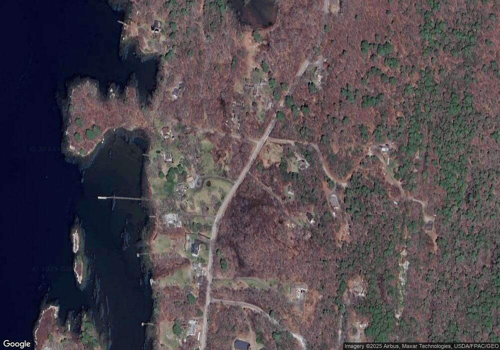
Map
Nearby Homes
- 23 Sunny Acres Ln
- 576 Back River Rd
- 22-E Peaceful Acres
- 0 Maine 144
- 44-4 Windrush Ln
- 13 Porcupine Ln
- 96 Forest Haven Rd
- 575 Main Rd
- 1 Willis Point Rd
- 15 Lewis Rd
- 30 Taylor Rd
- 124 Main Rd
- 208 Youngs Point Rd
- 24 Jason Cir
- 42 Wawenock Trail
- Map1 lot57 W Side of Main Rd
- 5 Hillside Place Unit 2
- 29 Wiscasset Rd
- 27 Doggett Rd
- 50 Bunchberry Ln
- 10 Tool Rd
- 33 Break Neck Ridge Rd
- 7 Break Neck Ridge Rd
- 7 Break Neck Ridge Rd
- 255 W Side Rd
- 255 W Side Rd
- 55 Abbott Rd
- 42 Break Neck Ridge Rd
- 297 W Side Rd
- 258 W Side Rd
- 61 Break Neck Ridge Rd
- 13 Leighton Ln
- 246 W Side Rd
- 268 W Side Rd
- 7 Greenleaf Rd
- 61 Breakneck Ridge Rd
- 300 W Side Rd
- 243 W Side Rd
- 246 W Side Rd
- 7 Loon Ln
Your Personal Tour Guide
Ask me questions while you tour the home.