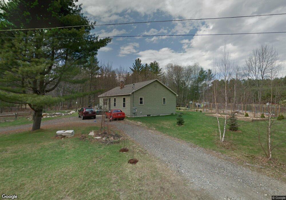
20 Top Hat Rd Hanover, ME 04237
Estimated Value: $311,155 - $439,000
Studio
--
Bath
1,344
Sq Ft
$270/Sq Ft
Est. Value
About This Home
This home is located at 20 Top Hat Rd, Hanover, ME 04237 and is currently estimated at $363,039, approximately $270 per square foot. 20 Top Hat Rd is a home with nearby schools including Rumford Elementary School, Meroby Elementary School, and Mountain Valley Middle School.
Ownership History
Date
Name
Owned For
Owner Type
Purchase Details
Closed on
May 28, 2009
Sold by
Gurney Thomas
Bought by
Gurney Thomas D and Gurney Joan E
Current Estimated Value
Home Financials for this Owner
Home Financials are based on the most recent Mortgage that was taken out on this home.
Original Mortgage
$68,300
Outstanding Balance
$42,640
Interest Rate
4.87%
Mortgage Type
Commercial
Estimated Equity
$320,399
Purchase Details
Closed on
Aug 27, 2007
Sold by
Brooks Norton M
Bought by
Gurney Thomas
Create a Home Valuation Report for This Property
The Home Valuation Report is an in-depth analysis detailing your home's value as well as a comparison with similar homes in the area
Purchase History
| Date | Buyer | Sale Price | Title Company |
|---|---|---|---|
| Gurney Thomas D | -- | -- | |
| Gurney Thomas | $1,001 | -- |
Source: Public Records
Mortgage History
| Date | Status | Borrower | Loan Amount |
|---|---|---|---|
| Open | Gurney Thomas | $68,300 | |
| Previous Owner | Gurney Thomas | $125,000 |
Source: Public Records
Tax History
| Year | Tax Paid | Tax Assessment Tax Assessment Total Assessment is a certain percentage of the fair market value that is determined by local assessors to be the total taxable value of land and additions on the property. | Land | Improvement |
|---|---|---|---|---|
| 2025 | $2,909 | $186,449 | $56,860 | $129,589 |
| 2024 | $2,843 | $186,449 | $56,860 | $129,589 |
| 2023 | $2,694 | $186,449 | $56,860 | $129,589 |
| 2022 | $2,741 | $186,449 | $56,860 | $129,589 |
| 2021 | $2,750 | $186,449 | $56,860 | $129,589 |
| 2020 | $2,750 | $186,449 | $56,860 | $129,589 |
| 2019 | $2,237 | $186,449 | $56,860 | $129,589 |
| 2018 | $1,976 | $186,449 | $56,860 | $129,589 |
| 2017 | $1,846 | $186,449 | $56,860 | $129,589 |
| 2016 | $1,790 | $186,449 | $56,860 | $129,589 |
| 2015 | $1,790 | $186,449 | $56,860 | $129,589 |
| 2014 | $1,734 | $186,449 | $56,860 | $129,589 |
| 2013 | $1,548 | $186,449 | $56,860 | $129,589 |
Source: Public Records
Map
Nearby Homes
- 1 Stearns Hill Rd
- 3 Moose Ridge
- 2139 Intervale Rd
- 49 Balsam Rd
- 2165 Main St
- 3 Gore Line Rd
- 86 Lauries Ln
- TBD Tara's Way
- 23 Countryside Ln
- 00 Main St
- 17 Countryside Ln
- 9 Countryside Ln
- 1683 Intervale Rd
- Lot #5 Intervale Rd
- Lot 31 Intervale Rd
- Lot #1 Intervale Rd
- Lot 15-023 Intervale Rd
- 2408 U S 2
- 012-002 E Bethel Rd
- TBD Plumbago Mountain
- 75 Top Hat Rd
- 46 Top Hat Rd
- 58 Top Hat Rd
- 58 Top Hat Rd Unit oxf
- 0 Top Hat Rd
- 2290 Main St
- 2301 Main St
- 2308 Main St
- Lot 1 Hanover Pines
- lot #1 Hanover Pines Rd E
- 85 Top Hat Rd
- 2316 Main St
- 82 Top Hat Rd
- 0 Stearns Hill Rd Unit 1202927
- Lot 3 Thoreau Rd
- Lot 3 Emerson
- 3 Emerson
- 2025 Main St
- Lot 7 Emerson Rd
- 7 Emerson
Your Personal Tour Guide
Ask me questions while you tour the home.