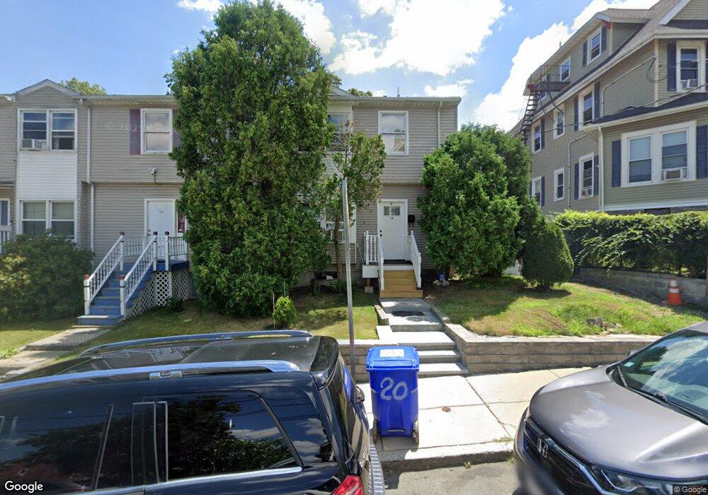
20 Trull St Unit 16 Dorchester, MA 02125
Uphams Corner-Jones Hill NeighborhoodEstimated Value: $396,000 - $505,000
3
Beds
2
Baths
1,031
Sq Ft
$447/Sq Ft
Est. Value
About This Home
This home is located at 20 Trull St Unit 16, Dorchester, MA 02125 and is currently estimated at $460,656, approximately $446 per square foot. 20 Trull St Unit 16 is a home located in Suffolk County with nearby schools including Uncommon Schools Roxbury Prep Dorchester Campus.
Ownership History
Date
Name
Owned For
Owner Type
Purchase Details
Closed on
Aug 18, 2000
Sold by
Peeples Leroy and Mallette Ruby I
Bought by
Lewis Charlene
Current Estimated Value
Purchase Details
Closed on
Jun 4, 1998
Sold by
Ri Waterman Prop Inc
Bought by
Mallette Ruby L
Purchase Details
Closed on
Aug 22, 1997
Sold by
Thomas Bernice C and Fleet National Bk
Bought by
R I Waterman Prop Inc
Purchase Details
Closed on
Apr 5, 1996
Sold by
Alleyne Tracey A
Bought by
Thomas Bernice C and Thomas Sharee K
Purchase Details
Closed on
Apr 20, 1994
Sold by
Fnma
Bought by
Alleyne Tracey A
Purchase Details
Closed on
Feb 2, 1994
Sold by
Massie Ronald
Bought by
Federal National Mortgage Association
Create a Home Valuation Report for This Property
The Home Valuation Report is an in-depth analysis detailing your home's value as well as a comparison with similar homes in the area
Home Values in the Area
Average Home Value in this Area
Purchase History
| Date | Buyer | Sale Price | Title Company |
|---|---|---|---|
| Lewis Charlene | $150,000 | -- | |
| Mallette Ruby L | $52,000 | -- | |
| R I Waterman Prop Inc | $32,000 | -- | |
| Thomas Bernice C | $75,000 | -- | |
| Alleyne Tracey A | $64,000 | -- | |
| Federal National Mortgage Association | $67,500 | -- |
Source: Public Records
Mortgage History
| Date | Status | Borrower | Loan Amount |
|---|---|---|---|
| Open | Federal National Mortgage Association | $239,000 | |
| Closed | Federal National Mortgage Association | $152,200 | |
| Closed | Federal National Mortgage Association | $148,750 |
Source: Public Records
Tax History Compared to Growth
Tax History
| Year | Tax Paid | Tax Assessment Tax Assessment Total Assessment is a certain percentage of the fair market value that is determined by local assessors to be the total taxable value of land and additions on the property. | Land | Improvement |
|---|---|---|---|---|
| 2025 | $4,012 | $346,500 | $0 | $346,500 |
| 2024 | $3,641 | $334,000 | $0 | $334,000 |
| 2023 | $3,481 | $324,100 | $0 | $324,100 |
| 2022 | $3,356 | $308,500 | $0 | $308,500 |
| 2021 | $3,141 | $294,400 | $0 | $294,400 |
| 2020 | $2,606 | $246,800 | $0 | $246,800 |
| 2019 | $2,433 | $230,800 | $0 | $230,800 |
| 2018 | $2,302 | $219,700 | $0 | $219,700 |
| 2017 | $2,237 | $211,200 | $0 | $211,200 |
| 2016 | $2,131 | $193,700 | $0 | $193,700 |
| 2015 | $1,979 | $163,400 | $0 | $163,400 |
| 2014 | $1,957 | $155,600 | $0 | $155,600 |
Source: Public Records
Map
Nearby Homes
- 3 Ware St
- 20 Rill St
- 22 Ronan St
- 106 Sawyer Ave Unit 3
- 5 Wheelock Ave
- 35-37 Clarkson St
- 52 Bellevue St Unit 1
- 52 Bellevue St Unit 2
- 60 Stanley St Unit 301
- 60 Stanley St Unit 302
- 60 Stanley St
- 60 Stanley St Unit 101
- 10 Everett Ave
- 5-7 Everett Ave Unit 5-2
- 42 Monadnock St
- 76 Bellevue St
- 70-72 Clarkson St
- 70 Hamilton St
- 22 High St Unit 203
- 22 High St Unit 201
- 20 Trull St
- 20 Trull St Unit 18
- 4 Ware St Unit 4A
- 4A Ware St Unit 2
- 14 Trull St Unit 3
- 14 Trull St Unit 1
- 14 Trull St Unit 2
- 6 Ware St
- 6 Ware St Unit 3
- 6 Ware St Unit 2
- 6 Ware St Unit 1
- 4-6 Trull St Unit B
- 4-6 Trull St Unit 4a
- 4-6 Trull St
- 14B Trull St Unit 4
- 14B Trull St Unit 3
- 14B Trull St Unit 2
- 14B Trull St Unit 1
- 19 Trull St Unit 21
- 8 Ware St