20 Twin Pond Ln Sudbury, MA 01776
Estimated Value: $1,513,000 - $1,821,000
4
Beds
4
Baths
3,893
Sq Ft
$431/Sq Ft
Est. Value
About This Home
This home is located at 20 Twin Pond Ln, Sudbury, MA 01776 and is currently estimated at $1,677,877, approximately $430 per square foot. 20 Twin Pond Ln is a home located in Middlesex County with nearby schools including Josiah Haynes Elementary School, Ephraim Curtis Middle School, and Lincoln-Sudbury Regional High School.
Ownership History
Date
Name
Owned For
Owner Type
Purchase Details
Closed on
Jan 26, 1996
Sold by
Smith Thomas R and Smith Susan M
Bought by
Wells Terry B and Wells Janet L
Current Estimated Value
Purchase Details
Closed on
Jul 22, 1994
Sold by
Rousseau Markland S and Rousseau Sharon D
Bought by
Smith Thomas R and Motyl Susan F
Purchase Details
Closed on
Sep 30, 1993
Sold by
Coleman Scott A and Coleman Lisa M
Bought by
Rousseau Markland S and Rousseau Sharon D
Create a Home Valuation Report for This Property
The Home Valuation Report is an in-depth analysis detailing your home's value as well as a comparison with similar homes in the area
Home Values in the Area
Average Home Value in this Area
Purchase History
| Date | Buyer | Sale Price | Title Company |
|---|---|---|---|
| Wells Terry B | $600,000 | -- | |
| Smith Thomas R | $662,500 | -- | |
| Rousseau Markland S | $650,000 | -- |
Source: Public Records
Mortgage History
| Date | Status | Borrower | Loan Amount |
|---|---|---|---|
| Open | Rousseau Markland S | $525,000 | |
| Closed | Rousseau Markland S | $467,000 |
Source: Public Records
Tax History Compared to Growth
Tax History
| Year | Tax Paid | Tax Assessment Tax Assessment Total Assessment is a certain percentage of the fair market value that is determined by local assessors to be the total taxable value of land and additions on the property. | Land | Improvement |
|---|---|---|---|---|
| 2025 | $23,649 | $1,615,400 | $501,000 | $1,114,400 |
| 2024 | $22,755 | $1,557,500 | $486,600 | $1,070,900 |
| 2023 | $20,991 | $1,331,100 | $434,600 | $896,500 |
| 2022 | $20,082 | $1,112,600 | $398,600 | $714,000 |
| 2021 | $19,133 | $1,016,100 | $398,600 | $617,500 |
| 2020 | $18,747 | $1,016,100 | $398,600 | $617,500 |
| 2019 | $18,198 | $1,016,100 | $398,600 | $617,500 |
| 2018 | $17,704 | $987,400 | $424,200 | $563,200 |
| 2017 | $17,357 | $978,400 | $420,600 | $557,800 |
| 2016 | $16,841 | $946,100 | $404,600 | $541,500 |
| 2015 | $16,257 | $923,700 | $393,000 | $530,700 |
| 2014 | $16,086 | $892,200 | $381,400 | $510,800 |
Source: Public Records
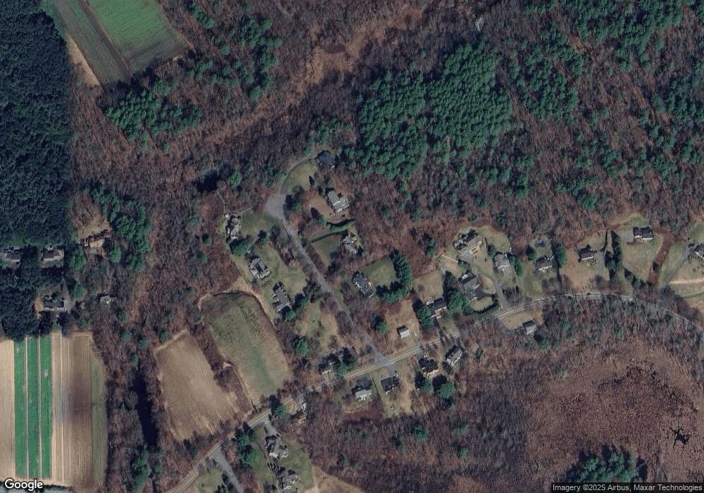
Map
Nearby Homes
- 14 Frost Ln
- 941 Concord Rd
- Lot 5 Sailaway Ln
- 45 N Crescent Cir
- Lot 4 Sailaway Ln
- 2 Betts Way
- 8 Mina Way
- 0 Elm Unit 73282184
- Lot 9 Sailaway Ln
- 4 Betts Way
- 122 Sand Gully Rd N Unit B
- 401 Emery Ln Unit 104
- 121 White Pond Way Unit 121
- 42 Dakin Rd
- 24 Rookery Ln Unit 6
- 56 Rookery Ln Unit 4
- 40 Rookery Ln Unit 5
- 72 Rookery Ln Unit 3
- 63 Canterbury Dr
- 16 Blacksmith Dr
- 26 Twin Pond Ln
- 14 Twin Pond Ln
- 17 Twin Pond Ln
- 23 Twin Pond Ln
- 799 Concord Rd
- 787 Concord Rd
- 809 Concord Rd
- 3 Cail Farm Rd
- 3 Cail Farm Rd
- 29 Twin Pond Ln
- 1 Cail Farm Rd
- 798 Concord Rd
- 802 Concord Rd
- 788 Concord Rd
- Lot 2 Cail Farm Rd
- 810 Concord Rd
- 4 Cail Farm Rd
- 5 Cail Farm Rd
- 780 Concord Rd
- 821 Concord Rd