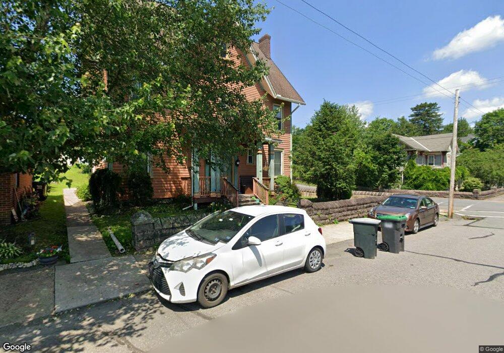
20 Twp Rte 369 Rd White Haven, PA 18661
Estimated Value: $273,000 - $466,000
--
Bed
--
Bath
1,844
Sq Ft
$190/Sq Ft
Est. Value
About This Home
This home is located at 20 Twp Rte 369 Rd, White Haven, PA 18661 and is currently estimated at $350,333, approximately $189 per square foot. 20 Twp Rte 369 Rd is a home with nearby schools including Hazleton Area High School.
Ownership History
Date
Name
Owned For
Owner Type
Purchase Details
Closed on
Nov 19, 2015
Sold by
Federal Home Loan Mortgage Corporation
Bought by
Clark Daniel L and Clark Amy F
Current Estimated Value
Home Financials for this Owner
Home Financials are based on the most recent Mortgage that was taken out on this home.
Original Mortgage
$125,345
Interest Rate
3.97%
Mortgage Type
FHA
Purchase Details
Closed on
May 7, 2015
Sold by
Zadori Thomas J
Bought by
Federal Home Loan Mortgage Corporation
Create a Home Valuation Report for This Property
The Home Valuation Report is an in-depth analysis detailing your home's value as well as a comparison with similar homes in the area
Home Values in the Area
Average Home Value in this Area
Purchase History
| Date | Buyer | Sale Price | Title Company |
|---|---|---|---|
| Clark Daniel L | $127,659 | None Available | |
| Federal Home Loan Mortgage Corporation | $1,307 | None Available |
Source: Public Records
Mortgage History
| Date | Status | Borrower | Loan Amount |
|---|---|---|---|
| Previous Owner | Clark Daniel L | $125,345 |
Source: Public Records
Tax History Compared to Growth
Tax History
| Year | Tax Paid | Tax Assessment Tax Assessment Total Assessment is a certain percentage of the fair market value that is determined by local assessors to be the total taxable value of land and additions on the property. | Land | Improvement |
|---|---|---|---|---|
| 2025 | $3,756 | $182,400 | $52,500 | $129,900 |
| 2024 | $3,605 | $182,400 | $52,500 | $129,900 |
| 2023 | $3,535 | $182,400 | $52,500 | $129,900 |
| 2022 | $3,501 | $182,400 | $52,500 | $129,900 |
| 2021 | $3,396 | $182,400 | $52,500 | $129,900 |
| 2020 | $3,263 | $182,400 | $52,500 | $129,900 |
| 2019 | $3,125 | $182,400 | $52,500 | $129,900 |
| 2018 | $3,005 | $182,400 | $52,500 | $129,900 |
| 2017 | $2,940 | $182,400 | $52,500 | $129,900 |
| 2016 | -- | $182,400 | $52,500 | $129,900 |
| 2015 | -- | $182,400 | $52,500 | $129,900 |
| 2014 | -- | $182,400 | $52,500 | $129,900 |
Source: Public Records
Map
Nearby Homes
- 1156 Sandy Valley Rd
- 0 Route 940 & Pointe Unit PALU2002314
- 5 Lehigh Dr
- 84 Lakeside Rd
- 21 Michael Rd
- 400 Lehigh St
- 0 Industrial Dr Unit PACC2005802
- 0 Rt 534 Lot Unit WP001
- 28 Deer Cross Rd
- 317 Berwick St
- 315 Berwick St
- 0 Buffalo St
- 9 Fox Run Dr
- 8 Fox Run Dr
- 0 Oley Valley Rd
- 312 Susquehanna St
- 29 Brookside Dr
- 0 W Woodhaven Dr
- 45 Brookside Dr
- 1242 Woodhaven Dr
- 20 Tannery Rd
- 27 Tannery Rd
- 46 Duda Rd
- 9 Tannery Rd
- 21 Tannery Rd
- 1 Tannery Rd
- 32 Duda Rd
- 29 Tannery Rd
- 42 Tannery Rd
- 45 Tannery Rd
- 65 Tannery Rd
- 26 Duda Rd
- 5241 N Lehigh Gorge Rd
- 53 Tannery Rd
- 4 Duda Rd
- 9 Medvitz Ln
- 5297 N Lehigh Gorge Rd
- 24 N Lehigh Gorge Dr
- 24 N Lehigh Gorge Dr
- 24 N Lehigh Gorge Dr