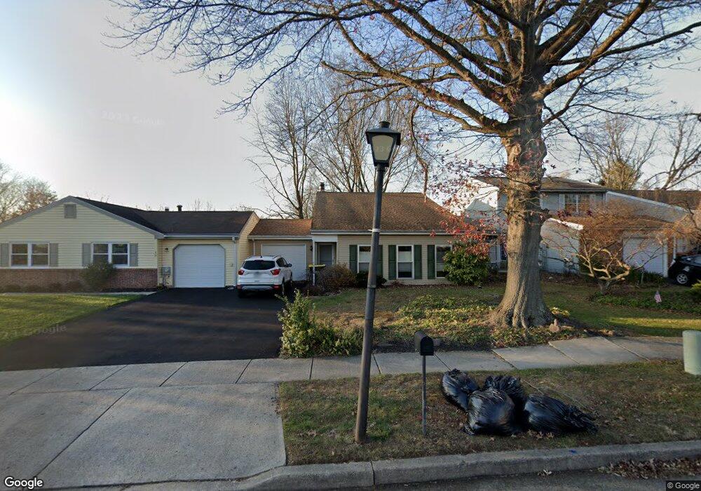
20 Union St Newtown, PA 18940
Estimated Value: $323,000 - $483,229
2
Beds
2
Baths
1,081
Sq Ft
$390/Sq Ft
Est. Value
About This Home
This home is located at 20 Union St, Newtown, PA 18940 and is currently estimated at $421,807, approximately $390 per square foot. 20 Union St is a home located in Bucks County with nearby schools including Goodnoe Elementary School, Newtown Middle School, and Council Rock High School North.
Ownership History
Date
Name
Owned For
Owner Type
Purchase Details
Closed on
Dec 28, 1999
Sold by
Villamor Renato L and Villamor Maria Lourdes Lea A
Bought by
Villamor Maria Lourdes Lea A
Current Estimated Value
Purchase Details
Closed on
Apr 15, 1999
Sold by
Kozak Frederick J
Bought by
Villamor Renato L and Villamor Maria Lourdes Lea A
Home Financials for this Owner
Home Financials are based on the most recent Mortgage that was taken out on this home.
Original Mortgage
$125,900
Interest Rate
6.92%
Mortgage Type
FHA
Create a Home Valuation Report for This Property
The Home Valuation Report is an in-depth analysis detailing your home's value as well as a comparison with similar homes in the area
Home Values in the Area
Average Home Value in this Area
Purchase History
| Date | Buyer | Sale Price | Title Company |
|---|---|---|---|
| Villamor Maria Lourdes Lea A | -- | -- | |
| Villamor Renato L | $126,000 | -- |
Source: Public Records
Mortgage History
| Date | Status | Borrower | Loan Amount |
|---|---|---|---|
| Previous Owner | Villamor Renato L | $125,900 |
Source: Public Records
Tax History Compared to Growth
Tax History
| Year | Tax Paid | Tax Assessment Tax Assessment Total Assessment is a certain percentage of the fair market value that is determined by local assessors to be the total taxable value of land and additions on the property. | Land | Improvement |
|---|---|---|---|---|
| 2025 | $4,905 | $27,600 | $3,520 | $24,080 |
| 2024 | $4,905 | $27,600 | $3,520 | $24,080 |
| 2023 | $4,693 | $27,600 | $3,520 | $24,080 |
| 2022 | $4,602 | $27,600 | $3,520 | $24,080 |
| 2021 | $4,531 | $27,600 | $3,520 | $24,080 |
| 2020 | $4,313 | $27,600 | $3,520 | $24,080 |
| 2019 | $4,211 | $27,600 | $3,520 | $24,080 |
| 2018 | $4,131 | $27,600 | $3,520 | $24,080 |
| 2017 | $3,987 | $27,600 | $3,520 | $24,080 |
| 2016 | $3,960 | $27,600 | $3,520 | $24,080 |
| 2015 | -- | $27,600 | $3,520 | $24,080 |
| 2014 | -- | $27,600 | $3,520 | $24,080 |
Source: Public Records
Map
Nearby Homes
- 210 E Hanover St
- 163 Leedom Way Unit 25
- 4 Westwood Ct
- 104 Cornell Rd
- 48 Old Mill Ln
- 21 Tree Bark Ln
- 29 Tree Bark Ln
- 1016 Diamond Dr Unit 1016
- 23 Brianna Rd
- 8 Dunham Ln
- 226 Court St
- 113 Thorton Ln
- 22 Penn St
- 66 Nathaniel Rd
- 10014 Beacon Hill Dr Unit 7
- 3231 Durham Place
- 113 Penn St
- 281 E Village Rd
- 180 Independence Dr
- 102 Keenan Ln
- 30 Union St
- 10 Union St
- 40 Union St
- 196 Commonwealth Dr
- 194 Commonwealth Dr
- 192 Commonwealth Dr
- 31 Union St
- 21 Union St
- 41 Union St
- 11 Union St
- 197 Commonwealth Dr
- 195 Commonwealth Dr
- 190 Commonwealth Dr
- 193 Commonwealth Dr
- 191 Commonwealth Dr
- 106 Chesapeake Dr
- 120 Chesapeake Dr
- 108 Chesapeake Dr
- 104 Chesapeake Dr
- 122 Chesapeake Dr