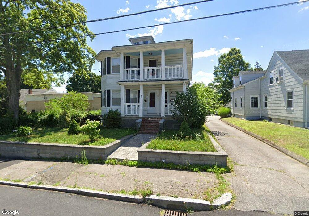
20 Upland Rd Brockton, MA 02301
Estimated Value: $718,168 - $843,000
4
Beds
2
Baths
2,748
Sq Ft
$289/Sq Ft
Est. Value
About This Home
This home is located at 20 Upland Rd, Brockton, MA 02301 and is currently estimated at $793,542, approximately $288 per square foot. 20 Upland Rd is a home located in Plymouth County with nearby schools including Louis F Angelo Elementary School, Raymond K-8 Elementary School, and Manthala George Jr. School.
Ownership History
Date
Name
Owned For
Owner Type
Purchase Details
Closed on
Jan 31, 2017
Sold by
Mclaughlin James F and Mclaughlin Lisa A
Bought by
Fonseca Natalia R and Fonseca Jorge Carla
Current Estimated Value
Home Financials for this Owner
Home Financials are based on the most recent Mortgage that was taken out on this home.
Original Mortgage
$392,263
Outstanding Balance
$325,231
Interest Rate
4.25%
Mortgage Type
FHA
Estimated Equity
$468,311
Purchase Details
Closed on
Jul 11, 2016
Sold by
Neagle Joanne P
Bought by
Mclaughlin James F and Natale Robbie B
Create a Home Valuation Report for This Property
The Home Valuation Report is an in-depth analysis detailing your home's value as well as a comparison with similar homes in the area
Home Values in the Area
Average Home Value in this Area
Purchase History
| Date | Buyer | Sale Price | Title Company |
|---|---|---|---|
| Fonseca Natalia R | $399,500 | -- | |
| Mclaughlin James F | $150,000 | -- |
Source: Public Records
Mortgage History
| Date | Status | Borrower | Loan Amount |
|---|---|---|---|
| Open | Fonseca Natalia R | $392,263 |
Source: Public Records
Tax History Compared to Growth
Tax History
| Year | Tax Paid | Tax Assessment Tax Assessment Total Assessment is a certain percentage of the fair market value that is determined by local assessors to be the total taxable value of land and additions on the property. | Land | Improvement |
|---|---|---|---|---|
| 2025 | $8,975 | $741,100 | $140,500 | $600,600 |
| 2024 | $8,656 | $720,100 | $140,500 | $579,600 |
| 2023 | $8,162 | $628,800 | $106,600 | $522,200 |
| 2022 | $8,063 | $577,200 | $96,900 | $480,300 |
| 2021 | $7,891 | $544,200 | $81,000 | $463,200 |
| 2020 | $7,322 | $483,300 | $75,400 | $407,900 |
| 2019 | $6,535 | $420,500 | $73,400 | $347,100 |
| 2018 | $6,265 | $390,100 | $73,400 | $316,700 |
| 2017 | $4,873 | $302,700 | $73,400 | $229,300 |
| 2016 | $4,939 | $284,500 | $71,300 | $213,200 |
| 2015 | $3,960 | $218,200 | $71,300 | $146,900 |
| 2014 | $3,849 | $212,300 | $71,300 | $141,000 |
Source: Public Records
Map
Nearby Homes
- 26 Upland Rd
- 32 Upland Rd
- 19 Lansdowne St
- 31 Lansdowne St
- 15 Lansdowne St
- 624 N Main St Unit 3
- 632 N Main St
- 11 Lansdowne St
- 628 N Main St
- 17 Upland Rd
- 40 Upland Rd
- 23 Upland Rd
- 638 N Main St
- 638 N Main St Unit 3 North
- 13 Upland Rd
- 27 Upland Rd
- 35 Lansdowne St
- 35 Lansdowne St Unit 1
- 35 Lansdowne St Unit 2
- 33 Upland Rd