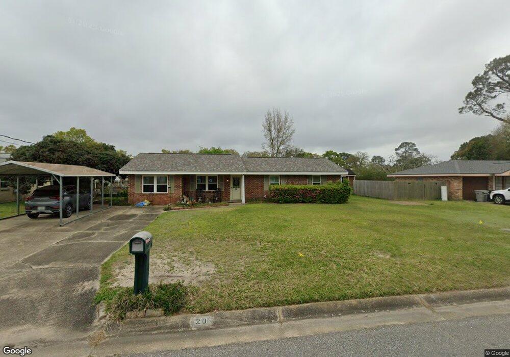
20 Usher Cir Pensacola, FL 32506
Estimated Value: $164,000 - $238,000
--
Bed
2
Baths
1,720
Sq Ft
$112/Sq Ft
Est. Value
About This Home
This home is located at 20 Usher Cir, Pensacola, FL 32506 and is currently estimated at $192,991, approximately $112 per square foot. 20 Usher Cir is a home located in Escambia County with nearby schools including Myrtle Grove Elementary School, Warrington Middle School, and Escambia High School.
Ownership History
Date
Name
Owned For
Owner Type
Purchase Details
Closed on
Mar 28, 2023
Sold by
Martin Robbie
Bought by
Martin Robbie
Current Estimated Value
Purchase Details
Closed on
Nov 22, 1996
Sold by
Langan Kevin J and Langan Denise W
Bought by
Mackey Robert L and Mackey Norma L
Home Financials for this Owner
Home Financials are based on the most recent Mortgage that was taken out on this home.
Original Mortgage
$45,000
Interest Rate
7.83%
Create a Home Valuation Report for This Property
The Home Valuation Report is an in-depth analysis detailing your home's value as well as a comparison with similar homes in the area
Home Values in the Area
Average Home Value in this Area
Purchase History
| Date | Buyer | Sale Price | Title Company |
|---|---|---|---|
| Martin Robbie | $100 | None Listed On Document | |
| Martin Robbie | $100 | None Listed On Document | |
| Mackey Robert L | $65,000 | -- |
Source: Public Records
Mortgage History
| Date | Status | Borrower | Loan Amount |
|---|---|---|---|
| Previous Owner | Mackey Robert L | $45,000 |
Source: Public Records
Tax History Compared to Growth
Tax History
| Year | Tax Paid | Tax Assessment Tax Assessment Total Assessment is a certain percentage of the fair market value that is determined by local assessors to be the total taxable value of land and additions on the property. | Land | Improvement |
|---|---|---|---|---|
| 2024 | $1,952 | $149,564 | $20,000 | $129,564 |
| 2023 | $1,952 | $137,696 | $15,000 | $122,696 |
| 2022 | $545 | $67,253 | $0 | $0 |
| 2021 | $551 | $65,295 | $0 | $0 |
| 2020 | $544 | $64,394 | $0 | $0 |
| 2019 | $540 | $62,947 | $0 | $0 |
| 2018 | $543 | $61,774 | $0 | $0 |
| 2017 | $546 | $60,504 | $0 | $0 |
| 2016 | $553 | $59,260 | $0 | $0 |
| 2015 | $533 | $58,849 | $0 | $0 |
| 2014 | $401 | $46,032 | $0 | $0 |
Source: Public Records
Map
Nearby Homes
- 7871 Hestia Place
- 8116 Imperial Dr
- 8116 Imperial Dr
- 1111 Vega Ct
- 919 N 77th Ave
- 1310 El Dorado Dr
- 8130 Lillian Hwy
- 740 N Fairfield Dr
- 763 N 79th Ave
- 8121 Lillian Hwy Unit 41
- 8121 Lillian Hwy Unit 8
- 8152 Imperial Dr
- 714 N Fairfield Dr
- 7704 W Gadsden St
- 900 N 74th Ave
- 7225 W Fairfield Dr Unit A3
- 7225 W Fairfield Dr Unit B5
- 7225 W Fairfield Dr Unit C3
- 7225 W Fairfield Dr Unit C4
- 7717 Pontiac Dr