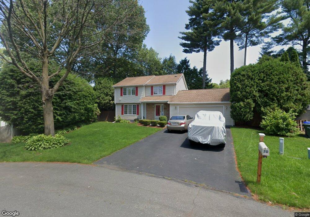
20 Vale Cir Springfield, MA 01118
Sixteen Acres NeighborhoodEstimated Value: $364,129 - $403,000
3
Beds
2
Baths
1,554
Sq Ft
$250/Sq Ft
Est. Value
About This Home
This home is located at 20 Vale Cir, Springfield, MA 01118 and is currently estimated at $389,032, approximately $250 per square foot. 20 Vale Cir is a home located in Hampden County with nearby schools including Arthur T Talmadge Elementary School, M Marcus Kiley Middle, and Springfield High School of Science and Technology.
Ownership History
Date
Name
Owned For
Owner Type
Purchase Details
Closed on
Sep 15, 1998
Sold by
Fortier Michael J and Fortier Kristine M
Bought by
Jones Charles E
Current Estimated Value
Home Financials for this Owner
Home Financials are based on the most recent Mortgage that was taken out on this home.
Original Mortgage
$111,810
Outstanding Balance
$23,926
Interest Rate
6.92%
Mortgage Type
Purchase Money Mortgage
Estimated Equity
$365,106
Purchase Details
Closed on
Dec 30, 1988
Sold by
Woodsborough Dev
Bought by
Fortier Michael J
Home Financials for this Owner
Home Financials are based on the most recent Mortgage that was taken out on this home.
Original Mortgage
$124,000
Interest Rate
10.26%
Mortgage Type
Purchase Money Mortgage
Create a Home Valuation Report for This Property
The Home Valuation Report is an in-depth analysis detailing your home's value as well as a comparison with similar homes in the area
Home Values in the Area
Average Home Value in this Area
Purchase History
| Date | Buyer | Sale Price | Title Company |
|---|---|---|---|
| Jones Charles E | $112,000 | -- | |
| Fortier Michael J | $149,000 | -- |
Source: Public Records
Mortgage History
| Date | Status | Borrower | Loan Amount |
|---|---|---|---|
| Open | Fortier Michael J | $111,810 | |
| Previous Owner | Fortier Michael J | $55,000 | |
| Previous Owner | Fortier Michael J | $124,000 |
Source: Public Records
Tax History
| Year | Tax Paid | Tax Assessment Tax Assessment Total Assessment is a certain percentage of the fair market value that is determined by local assessors to be the total taxable value of land and additions on the property. | Land | Improvement |
|---|---|---|---|---|
| 2025 | $5,361 | $341,900 | $57,100 | $284,800 |
| 2024 | $5,433 | $338,300 | $57,100 | $281,200 |
| 2023 | $5,035 | $295,300 | $54,400 | $240,900 |
| 2022 | $4,336 | $230,400 | $54,400 | $176,000 |
| 2021 | $4,351 | $230,200 | $49,400 | $180,800 |
| 2020 | $4,328 | $221,600 | $49,400 | $172,200 |
| 2019 | $4,178 | $212,300 | $49,400 | $162,900 |
| 2018 | $3,802 | $193,200 | $49,400 | $143,800 |
| 2017 | $3,749 | $190,700 | $49,400 | $141,300 |
| 2016 | $3,704 | $188,400 | $49,400 | $139,000 |
| 2015 | $3,519 | $178,900 | $49,400 | $129,500 |
Source: Public Records
Map
Nearby Homes
- 25 Laurelwood Ln
- 1962 Allen St
- 41 Hillside Dr
- 24 Wands St
- 85 Talmadge Dr
- 86 Talmadge Dr
- 86 Wildwood Ave
- 17 Skyridge Ln
- 81 W Crystal Brook Dr
- 0 Apple Blossom Ln
- 17 Pebble Mill Rd
- 49 Corcoran Blvd
- 206 Treetop Ave
- 55 Allen St
- 137 Mapleshade Ave
- 65 Helen Cir
- 125 Manor Ct Unit 125
- 19 Manor Ct Unit 19
- 119 Acrebrook Rd
- 101 Regal St
- 177 Ramblewood Dr
- 11 Forbes Cir
- 185 Ramblewood Dr
- 26 Vale Cir
- 19 Forbes Cir
- 169 Ramblewood Dr
- 30 Vale Cir
- 23 Forbes Cir
- 11 Vale Cir
- 188 Ramblewood Dr
- 19 Vale Cir
- 5 Greentree Cir
- 201 Ramblewood Dr
- 23 Vale Cir
- 155 Ramblewood Dr
- 180 Ramblewood Dr
- 28 Forbes Cir
- 12 Laurelwood Ln
- 202 Ramblewood Dr
- 14 Pine Needle Ln
Your Personal Tour Guide
Ask me questions while you tour the home.