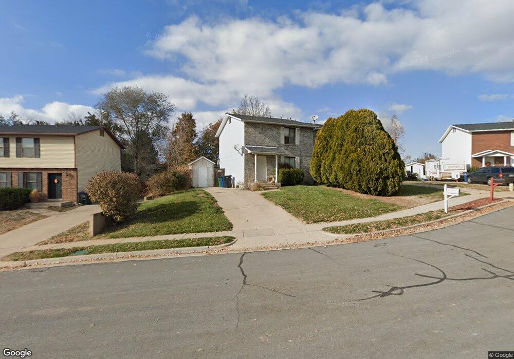
20 W 1200 S Kaysville, UT 84037
Estimated Value: $363,000 - $501,000
3
Beds
1
Bath
1,215
Sq Ft
$337/Sq Ft
Est. Value
About This Home
This home is located at 20 W 1200 S, Kaysville, UT 84037 and is currently estimated at $408,859, approximately $336 per square foot. 20 W 1200 S is a home located in Davis County with nearby schools including Columbia Elementary School, Kaysville Junior High School, and Davis High School.
Ownership History
Date
Name
Owned For
Owner Type
Purchase Details
Closed on
Mar 13, 2019
Sold by
Pacific Property Management Llc
Bought by
Kaysville 20 Llc
Current Estimated Value
Purchase Details
Closed on
May 7, 2012
Sold by
Delahunty Daniel I and Delahunty Susan A
Bought by
Pacific Property Management Llc
Purchase Details
Closed on
Jan 10, 2004
Sold by
Delahunty Daniel and Delahunty Susan
Bought by
Delahunty Daniel I and Delahunty Susan A
Purchase Details
Closed on
Jun 10, 2003
Sold by
Delahunty Daniel L and Delahunty Susan A
Bought by
Delahunty Daniel L and Delahunty Susan A
Purchase Details
Closed on
Sep 21, 1998
Sold by
Hill James K and Hill Naida B
Bought by
Delahunty Daniel and Delahunty Susan
Home Financials for this Owner
Home Financials are based on the most recent Mortgage that was taken out on this home.
Original Mortgage
$98,900
Interest Rate
6.88%
Create a Home Valuation Report for This Property
The Home Valuation Report is an in-depth analysis detailing your home's value as well as a comparison with similar homes in the area
Home Values in the Area
Average Home Value in this Area
Purchase History
| Date | Buyer | Sale Price | Title Company |
|---|---|---|---|
| Kaysville 20 Llc | -- | Artisan Title | |
| Pacific Property Management Llc | -- | None Available | |
| Delahunty Daniel I | -- | -- | |
| Delahunty Daniel L | -- | -- | |
| Delahunty Daniel | -- | Equity Title Agency |
Source: Public Records
Mortgage History
| Date | Status | Borrower | Loan Amount |
|---|---|---|---|
| Previous Owner | Delahunty Daniel | $98,900 |
Source: Public Records
Tax History Compared to Growth
Tax History
| Year | Tax Paid | Tax Assessment Tax Assessment Total Assessment is a certain percentage of the fair market value that is determined by local assessors to be the total taxable value of land and additions on the property. | Land | Improvement |
|---|---|---|---|---|
| 2025 | $1,653 | $178,200 | $118,547 | $59,653 |
| 2024 | $1,653 | $174,349 | $112,130 | $62,219 |
| 2023 | $1,655 | $169,950 | $111,230 | $58,719 |
| 2022 | $1,596 | $304,000 | $0 | $304,000 |
| 2021 | $1,592 | $250,000 | $63,700 | $186,300 |
| 2020 | $1,413 | $216,000 | $53,500 | $162,500 |
| 2019 | $1,365 | $205,000 | $32,000 | $173,000 |
| 2018 | $1,189 | $178,000 | $32,000 | $146,000 |
| 2016 | $990 | $77,880 | $17,600 | $60,280 |
| 2015 | $949 | $70,895 | $17,600 | $53,295 |
| 2014 | $935 | $71,090 | $25,234 | $45,856 |
| 2013 | -- | $54,871 | $15,419 | $39,452 |
Source: Public Records
Map
Nearby Homes
- 1310 S 125 E
- 1315 S 175 E
- 245 E 1400 S
- 1472 Via la Costa Way
- 1424 S 400 E
- 87 Baer Creek Dr
- 461 W Summit Ln
- Butler Traditional Plan at Crested Peaks
- 548 E 1250 S
- 1746 S 300 E
- 118 E 600 S
- 557 E Warm Springs Dr
- 558 S 50 E
- 382 W Parkway Dr
- 673 S Main St
- 447 W June Dr
- 1248 S Kentucky Derby Way
- 481 E Laurelwood Dr S
- 617 E Whisper Creek Dr
- 384 Christine Way