Estimated Value: $418,000 - $485,000
4
Beds
4
Baths
3,449
Sq Ft
$132/Sq Ft
Est. Value
About This Home
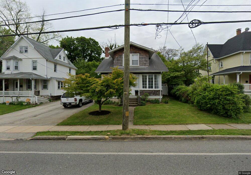
This home is located at 20 W Central Ave, Paoli, PA 19301 and is currently estimated at $454,001, approximately $131 per square foot. 20 W Central Ave is a home located in Chester County with nearby schools including Hillside Elementary School, Valley Forge Middle School, and Conestoga Senior High School.
Ownership History
Date
Name
Owned For
Owner Type
Purchase Details
Closed on
Jun 21, 2011
Sold by
Murphy Kevin M and Bucci Mary Anne
Bought by
Armstrong Lindsay S
Current Estimated Value
Home Financials for this Owner
Home Financials are based on the most recent Mortgage that was taken out on this home.
Original Mortgage
$191,200
Outstanding Balance
$131,809
Interest Rate
4.63%
Mortgage Type
New Conventional
Estimated Equity
$322,192
Create a Home Valuation Report for This Property
The Home Valuation Report is an in-depth analysis detailing your home's value as well as a comparison with similar homes in the area
Home Values in the Area
Average Home Value in this Area
Purchase History
| Date | Buyer | Sale Price | Title Company |
|---|---|---|---|
| Armstrong Lindsay S | $239,000 | None Available |
Source: Public Records
Mortgage History
| Date | Status | Borrower | Loan Amount |
|---|---|---|---|
| Open | Armstrong Lindsay S | $191,200 |
Source: Public Records
Tax History Compared to Growth
Tax History
| Year | Tax Paid | Tax Assessment Tax Assessment Total Assessment is a certain percentage of the fair market value that is determined by local assessors to be the total taxable value of land and additions on the property. | Land | Improvement |
|---|---|---|---|---|
| 2025 | $3,776 | $107,200 | $32,830 | $74,370 |
| 2024 | $3,776 | $107,200 | $32,830 | $74,370 |
| 2023 | $3,547 | $107,200 | $32,830 | $74,370 |
| 2022 | $3,455 | $107,200 | $32,830 | $74,370 |
| 2021 | $3,390 | $107,200 | $32,830 | $74,370 |
| 2020 | $3,296 | $107,200 | $32,830 | $74,370 |
| 2019 | $3,192 | $107,200 | $32,830 | $74,370 |
| 2018 | $3,129 | $107,200 | $32,830 | $74,370 |
| 2017 | $3,054 | $107,200 | $32,830 | $74,370 |
| 2016 | -- | $107,200 | $32,830 | $74,370 |
| 2015 | -- | $107,200 | $32,830 | $74,370 |
| 2014 | -- | $107,200 | $32,830 | $74,370 |
Source: Public Records
Map
Nearby Homes
- 106 N Valley Rd
- 1 Whitworth Ave
- 21 Manor Rd
- 29 Manor Rd
- 109 Vincent Rd
- 12 Moreland Rd
- 104 Lynbrook Rd
- 114 Manor Rd
- 2102 Quail Ridge Dr
- 1304 Weatherstone Dr Unit 1304
- 3 Bryan Ave
- 521 Foxwood Ln
- 1602 Weatherstone Dr Unit 1602
- 201 Penns Ln
- 1705 Weatherstone Dr
- 10 Arlington Rd
- 5 Kent Ln
- 0000 the Willis Elite
- 202 Shoreline Dr
- 1441 Berwyn Paoli Rd
- 16 W Central Ave
- 24 W Central Ave
- 32 W Central Ave
- 8 W Central Ave
- 15 W Central Ave
- 34 W Central Ave Unit B
- 34 W Central Ave
- 21 W Central Ave
- 23 W Central Ave
- 13 W Central Ave
- 25 W Central Ave
- 36 W Central Ave
- 7 W Central Ave
- 11 Bracken Ave
- 9 Bracken Ave
- 31 W Central Ave Unit B
- 31 W Central Ave
- 31 W Central Ave Unit 1
- 50 N Valley Rd
- 100 N Valley Rd Unit 2ND FL