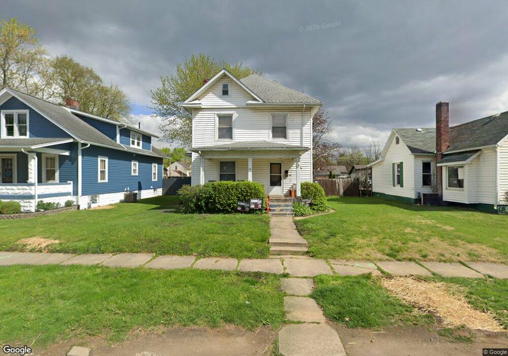
20 W Channel St Newark, OH 43055
Estimated Value: $206,000 - $236,000
3
Beds
2
Baths
1,494
Sq Ft
$147/Sq Ft
Est. Value
About This Home
This home is located at 20 W Channel St, Newark, OH 43055 and is currently estimated at $220,180, approximately $147 per square foot. 20 W Channel St is a home located in Licking County with nearby schools including Hillview Elementary School, Heritage Middle School, and Newark High School.
Ownership History
Date
Name
Owned For
Owner Type
Purchase Details
Closed on
Apr 3, 2019
Sold by
Ours Dale M
Bought by
Dmo Holdings Llc
Current Estimated Value
Purchase Details
Closed on
Mar 19, 2015
Sold by
Yonker Thomas W and Yonker Thomas
Bought by
Ours Dale M
Home Financials for this Owner
Home Financials are based on the most recent Mortgage that was taken out on this home.
Original Mortgage
$30,000
Interest Rate
3.56%
Mortgage Type
Unknown
Purchase Details
Closed on
Mar 11, 2011
Sold by
Yonker Lynda L and Yonker Lynda
Bought by
Yonker Thomas W and Yanker Thomas
Purchase Details
Closed on
Mar 24, 1997
Sold by
Wilson David A
Bought by
Yonker Thomas W and Yonker Lynda
Create a Home Valuation Report for This Property
The Home Valuation Report is an in-depth analysis detailing your home's value as well as a comparison with similar homes in the area
Home Values in the Area
Average Home Value in this Area
Purchase History
| Date | Buyer | Sale Price | Title Company |
|---|---|---|---|
| Dmo Holdings Llc | -- | None Available | |
| Ours Dale M | $45,000 | None Available | |
| Yonker Thomas W | -- | Attorney | |
| Yonker Thomas W | $53,000 | -- |
Source: Public Records
Mortgage History
| Date | Status | Borrower | Loan Amount |
|---|---|---|---|
| Previous Owner | Ours Dale M | $30,000 |
Source: Public Records
Tax History Compared to Growth
Tax History
| Year | Tax Paid | Tax Assessment Tax Assessment Total Assessment is a certain percentage of the fair market value that is determined by local assessors to be the total taxable value of land and additions on the property. | Land | Improvement |
|---|---|---|---|---|
| 2024 | $1,983 | $54,040 | $14,280 | $39,760 |
| 2023 | $1,979 | $54,040 | $14,280 | $39,760 |
| 2022 | $1,435 | $34,860 | $10,710 | $24,150 |
| 2021 | $1,506 | $34,860 | $10,710 | $24,150 |
| 2020 | $1,540 | $34,860 | $10,710 | $24,150 |
| 2019 | $1,252 | $27,270 | $7,140 | $20,130 |
| 2018 | $1,253 | $0 | $0 | $0 |
| 2017 | $1,137 | $0 | $0 | $0 |
| 2016 | $1,050 | $0 | $0 | $0 |
| 2015 | $1,073 | $0 | $0 | $0 |
| 2014 | $526 | $0 | $0 | $0 |
| 2013 | $537 | $0 | $0 | $0 |
Source: Public Records
Map
Nearby Homes
- 27 E Channel St
- 74 Cherry St
- 227 N Quentin Rd
- 52 Charles St
- 544 Hudson Ave
- 156 E Channel St
- 160 E Channel St
- 542 Mount Vernon Rd
- 988 Mount Vernon Rd
- 467 Mount Vernon Rd
- 370 Meadowbrook Dr
- 423 Hudson Ave
- 403 Meadowbrook Dr
- 425 N 11th St
- 137 Manning St
- 27 W North St
- 440 Reverie Place
- 51 E North St
- 11 Waterworks Rd
- 383 Central Ave
- 26 W Channel St
- 16 W Channel St
- 36 W Channel St
- 30 W Channel St
- 5 W Postal Ave
- 3 W Postal Ave
- 15 W Postal Ave
- 7 W Postal Ave
- 23 W Postal Ave
- 42 W Channel St
- 771 Hudson Ave
- 21 W Channel St
- 31 W Channel St
- 35 W Channel St
- 767 Hudson Ave
- 25 W Postal Ave
- 48 W Channel St
- 41 W Channel St
- 765 Hudson Ave
- 8 W Postal Ave