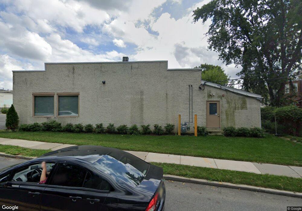
20 W Nicholson Rd Audubon, NJ 08106
--
Bed
--
Bath
10,000
Sq Ft
--
Built
About This Home
This home is located at 20 W Nicholson Rd, Audubon, NJ 08106. 20 W Nicholson Rd is a home located in Camden County with nearby schools including Haviland Avenue School, Mansion Avenue School, and Audubon Junior/Senior High School.
Ownership History
Date
Name
Owned For
Owner Type
Purchase Details
Closed on
Dec 17, 2013
Sold by
Ocean City Home Bank
Bought by
20 Wn Llc
Purchase Details
Closed on
Jan 10, 2013
Sold by
Milewski Enterprises Llc
Bought by
Ocean City Home Bank
Purchase Details
Closed on
May 20, 1998
Sold by
Zizzamia Vito
Bought by
Burnham Charles F and Burnham Catherine M
Home Financials for this Owner
Home Financials are based on the most recent Mortgage that was taken out on this home.
Original Mortgage
$96,217
Interest Rate
6.94%
Mortgage Type
FHA
Create a Home Valuation Report for This Property
The Home Valuation Report is an in-depth analysis detailing your home's value as well as a comparison with similar homes in the area
Home Values in the Area
Average Home Value in this Area
Purchase History
| Date | Buyer | Sale Price | Title Company |
|---|---|---|---|
| 20 Wn Llc | $350,000 | None Available | |
| Ocean City Home Bank | -- | None Available | |
| Burnham Charles F | $96,900 | -- |
Source: Public Records
Mortgage History
| Date | Status | Borrower | Loan Amount |
|---|---|---|---|
| Previous Owner | Burnham Charles F | $96,217 |
Source: Public Records
Tax History Compared to Growth
Tax History
| Year | Tax Paid | Tax Assessment Tax Assessment Total Assessment is a certain percentage of the fair market value that is determined by local assessors to be the total taxable value of land and additions on the property. | Land | Improvement |
|---|---|---|---|---|
| 2025 | $14,130 | $350,000 | $150,000 | $200,000 |
| 2024 | $13,661 | $350,000 | $150,000 | $200,000 |
| 2023 | $13,661 | $350,000 | $150,000 | $200,000 |
| 2022 | $13,297 | $350,000 | $150,000 | $200,000 |
| 2021 | $12,744 | $350,000 | $150,000 | $200,000 |
| 2020 | $12,621 | $350,000 | $150,000 | $200,000 |
| 2019 | $12,453 | $350,000 | $150,000 | $200,000 |
| 2018 | $12,299 | $350,000 | $150,000 | $200,000 |
| 2017 | $12,044 | $350,000 | $150,000 | $200,000 |
| 2016 | $11,729 | $350,000 | $150,000 | $200,000 |
| 2015 | $11,347 | $350,000 | $150,000 | $200,000 |
| 2014 | $11,239 | $350,000 | $150,000 | $200,000 |
Source: Public Records
Map
Nearby Homes
- 112 W Merchant St
- 110 Beloit Ave
- 2 Creston Ave
- 138 S Haviland Ave
- 227 W Graisbury Ave
- 229 S Lecato Ave
- 21 N Davis Ave
- 256 S White Horse Pike
- 130 E Cedar Ave
- 24 E Holly Ave
- 241 Mansion Ave
- 332 W Merchant St
- 310 Cuthbert Blvd
- 117 E Holly Ave
- 249 S Davis Ave
- 412 W Cedar Ave
- 137 E Holly Ave
- 300 W Holly Ave
- 29 Payson Ave
- 16 W Greenwood Ave
- 11 E Atlantic Ave
- 13 E Atlantic Ave
- 9 E Atlantic Ave
- 15 E Atlantic Ave
- 7 E Atlantic Ave
- 17 E Atlantic Ave
- 5 E Atlantic Ave
- 19 Taylor Ave
- 17 Taylor Ave
- 21 Taylor Ave
- 15 Taylor Ave
- 13 Taylor Ave
- 23 Taylor Ave
- 21 E Atlantic Ave
- 11 Taylor Ave
- 9 Taylor Ave
- 17 E Taylor Ave
- 23 E Atlantic Ave
- 1 E Atlantic Ave
- 25 E Atlantic Ave