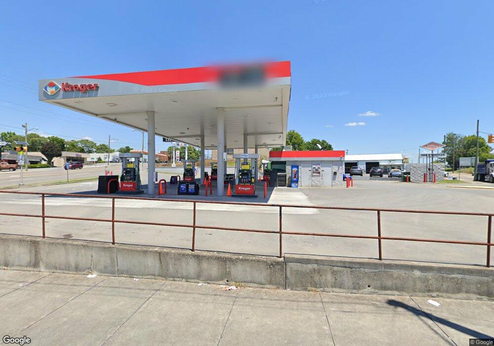
20 Wagner St Bristol, VA 24201
Estimated Value: $668,198
--
Bed
--
Bath
--
Sq Ft
9,757
Sq Ft Lot
About This Home
This home is located at 20 Wagner St, Bristol, VA 24201 and is currently estimated at $668,198. 20 Wagner St is a home located in Bristol City with nearby schools including Virginia High School, Tri-Cities Christian School, and Brookside Academy.
Ownership History
Date
Name
Owned For
Owner Type
Purchase Details
Closed on
Feb 10, 2010
Sold by
Nenr Inv Llc
Bought by
Kroger Lp I
Current Estimated Value
Purchase Details
Closed on
Mar 27, 2007
Sold by
Corporat Krispy Kreme Doughnut
Bought by
Nenr Investments Llc
Home Financials for this Owner
Home Financials are based on the most recent Mortgage that was taken out on this home.
Original Mortgage
$1,060,000
Interest Rate
6.33%
Mortgage Type
Commercial
Create a Home Valuation Report for This Property
The Home Valuation Report is an in-depth analysis detailing your home's value as well as a comparison with similar homes in the area
Home Values in the Area
Average Home Value in this Area
Purchase History
| Date | Buyer | Sale Price | Title Company |
|---|---|---|---|
| Kroger Lp I | $350,000 | -- | |
| Nenr Investments Llc | $475,000 | -- |
Source: Public Records
Mortgage History
| Date | Status | Borrower | Loan Amount |
|---|---|---|---|
| Previous Owner | Nenr Investments Llc | $1,060,000 |
Source: Public Records
Tax History Compared to Growth
Tax History
| Year | Tax Paid | Tax Assessment Tax Assessment Total Assessment is a certain percentage of the fair market value that is determined by local assessors to be the total taxable value of land and additions on the property. | Land | Improvement |
|---|---|---|---|---|
| 2025 | $906 | $97,400 | $92,500 | $4,900 |
| 2024 | $872 | $77,900 | $73,000 | $4,900 |
| 2023 | $911 | $77,900 | $73,000 | $4,900 |
| 2022 | $872 | $77,900 | $73,000 | $4,900 |
| 2021 | $872 | $77,900 | $73,000 | $4,900 |
| 2020 | $911 | $77,900 | $73,000 | $4,900 |
| 2019 | $911 | $77,900 | $73,000 | $4,900 |
| 2018 | $456 | $77,900 | $73,000 | $4,900 |
| 2016 | -- | $77,900 | $0 | $0 |
| 2015 | -- | $0 | $0 | $0 |
| 2014 | -- | $0 | $0 | $0 |
Source: Public Records
Map
Nearby Homes
- 000 Hemlock Dr
- 2000 Euclid Ave
- 2400 Bradley St
- 2412,14,16 Bradley St
- 2177 Randolph St
- 2241 Bradley St
- 2228 Bay St
- 2461 Bradley St
- 2121 2123 Randolph St
- 1057 Moorland Ave
- 2413 Catherine St
- 548 Floyd St
- 460 Vance St
- 60 Peters St
- 401 Crockett St
- 1614 Broad St
- 728 Randolph St
- 1724 & 1728 Euclid Ave
- 1443 Windsor Ave
- 2104 Osborne St
- TBD Euclid Ave
- 2118 Euclid Ave
- 2313 W W State St
- 2315 W State St
- 2103 W State St
- 2312 W State St
- 2125 Euclid Ave
- 2155 Euclid Ave
- 2195 Euclid Ave
- 2112 Euclid Ave
- 2121 Euclid Ave
- 17 24th St
- 2101 W State St
- 2 21st St
- 2110 Euclid Ave
- 2502 W State St
- 2205 Euclid Ave Unit 1
- 21 24th St
- 2210 W State St
- 2221 Euclid Ave