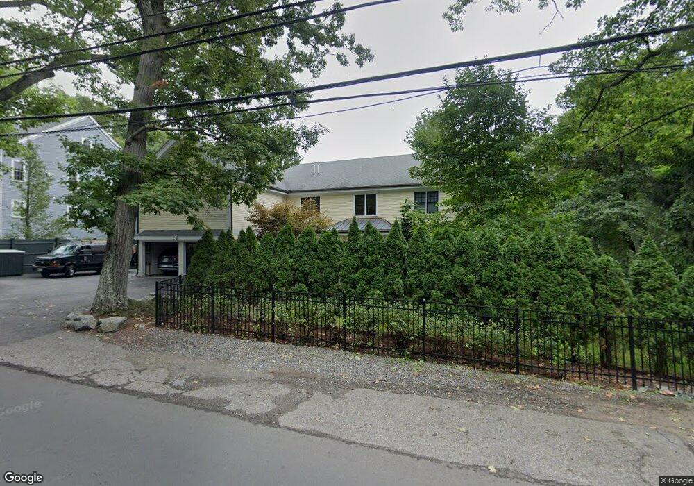
20 Walnut St Lexington, MA 02421
Follen Heights NeighborhoodEstimated Value: $2,825,432 - $3,173,000
5
Beds
5
Baths
6,982
Sq Ft
$430/Sq Ft
Est. Value
About This Home
This home is located at 20 Walnut St, Lexington, MA 02421 and is currently estimated at $3,002,108, approximately $429 per square foot. 20 Walnut St is a home located in Middlesex County with nearby schools including Bowman Elementary School, Jonas Clarke Middle School, and Lexington High School.
Ownership History
Date
Name
Owned For
Owner Type
Purchase Details
Closed on
May 5, 2008
Sold by
Khuon Chialan Lien and Khuon Jenny Lien
Bought by
Granahan-Franklin J and Franklin Merek S
Current Estimated Value
Home Financials for this Owner
Home Financials are based on the most recent Mortgage that was taken out on this home.
Original Mortgage
$922,000
Interest Rate
5.99%
Mortgage Type
Purchase Money Mortgage
Purchase Details
Closed on
Sep 29, 1995
Sold by
Bergeron John D and Bergeron Catherine A
Bought by
Khuon Timothy S and Khuon Chialan L
Create a Home Valuation Report for This Property
The Home Valuation Report is an in-depth analysis detailing your home's value as well as a comparison with similar homes in the area
Home Values in the Area
Average Home Value in this Area
Purchase History
| Date | Buyer | Sale Price | Title Company |
|---|---|---|---|
| Granahan-Franklin J | $522,000 | -- | |
| Khuon Timothy S | $290,900 | -- |
Source: Public Records
Mortgage History
| Date | Status | Borrower | Loan Amount |
|---|---|---|---|
| Open | Khuon Timothy S | $143,750 | |
| Open | Khuon Timothy S | $300,000 | |
| Open | Khuon Timothy S | $2,098,750 | |
| Closed | Granahan-Franklin J | $922,000 | |
| Previous Owner | Khuon Timothy S | $220,000 |
Source: Public Records
Tax History
| Year | Tax Paid | Tax Assessment Tax Assessment Total Assessment is a certain percentage of the fair market value that is determined by local assessors to be the total taxable value of land and additions on the property. | Land | Improvement |
|---|---|---|---|---|
| 2025 | $30,330 | $2,480,000 | $889,000 | $1,591,000 |
| 2024 | $29,216 | $2,385,000 | $846,000 | $1,539,000 |
| 2023 | $27,001 | $2,077,000 | $769,000 | $1,308,000 |
| 2022 | $26,896 | $1,949,000 | $699,000 | $1,250,000 |
| 2021 | $14,053 | $1,754,000 | $638,000 | $1,116,000 |
| 2020 | $6,311 | $1,815,000 | $638,000 | $1,177,000 |
| 2019 | $24,611 | $1,743,000 | $607,000 | $1,136,000 |
| 2018 | $4,236 | $1,693,000 | $578,000 | $1,115,000 |
| 2017 | $23,300 | $1,608,000 | $566,000 | $1,042,000 |
| 2016 | $23,550 | $1,613,000 | $632,000 | $981,000 |
| 2015 | $23,330 | $1,570,000 | $575,000 | $995,000 |
| 2014 | $21,823 | $1,407,000 | $387,000 | $1,020,000 |
Source: Public Records
Map
Nearby Homes
- 45 Webster Rd
- 107 Clocktower Dr Unit 3302
- 1105 Lexington St Unit 9-2
- 5 April Ln Unit 12
- 6 Linc Cole Ln
- 33 Jacqueline Rd Unit D
- 10 Luongo Farm Ln
- 25 Lionel Ave Unit E
- 289 Bishops Forest Dr
- 345 Bishops Forest Dr
- 89 Hardy Pond Rd
- 129 Lake St
- 133 Lake St
- 31 Greensbrook Way
- 14 Piedmont Ave
- 14 Benjamin Rd
- 64 Browning Rd
- 179 Lake St
- 4 Aerial St
- 1 Tricorne Rd