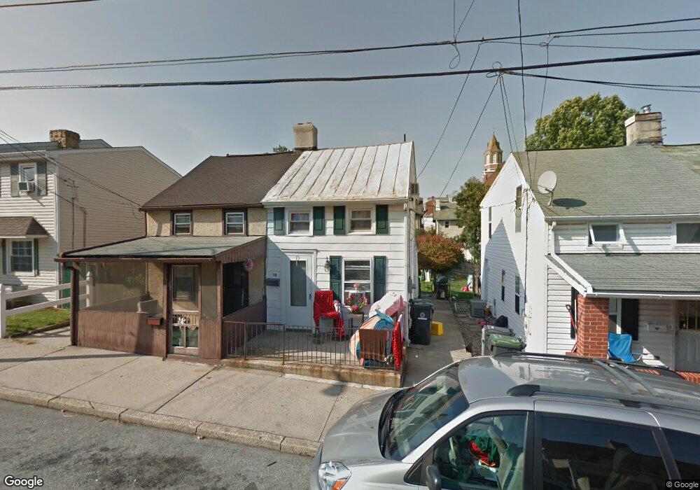
20 Walnut St Phoenixville, PA 19460
Estimated Value: $198,464 - $298,000
2
Beds
1
Bath
686
Sq Ft
$348/Sq Ft
Est. Value
About This Home
This home is located at 20 Walnut St, Phoenixville, PA 19460 and is currently estimated at $238,866, approximately $348 per square foot. 20 Walnut St is a home located in Chester County with nearby schools including Barkley Elelemtary School, Phoenixville Area Middle School, and Phoenixville Area High School.
Ownership History
Date
Name
Owned For
Owner Type
Purchase Details
Closed on
Apr 23, 2004
Sold by
Gabriel William M
Bought by
Mulvihill Thomas and Mulvihill Frances
Current Estimated Value
Purchase Details
Closed on
May 19, 2000
Sold by
Gabriel William M and Waters Sarah M
Bought by
Gabriel William M
Home Financials for this Owner
Home Financials are based on the most recent Mortgage that was taken out on this home.
Original Mortgage
$38,311
Interest Rate
8.14%
Mortgage Type
FHA
Purchase Details
Closed on
Apr 9, 1996
Sold by
Nemeth Roger R and Nemeth Roger
Bought by
Gabriel William M and Waters Sarah M
Home Financials for this Owner
Home Financials are based on the most recent Mortgage that was taken out on this home.
Original Mortgage
$36,298
Interest Rate
7.34%
Mortgage Type
FHA
Create a Home Valuation Report for This Property
The Home Valuation Report is an in-depth analysis detailing your home's value as well as a comparison with similar homes in the area
Home Values in the Area
Average Home Value in this Area
Purchase History
| Date | Buyer | Sale Price | Title Company |
|---|---|---|---|
| Mulvihill Thomas | $50,000 | -- | |
| Gabriel William M | $28,253 | -- | |
| Gabriel William M | $35,000 | -- |
Source: Public Records
Mortgage History
| Date | Status | Borrower | Loan Amount |
|---|---|---|---|
| Previous Owner | Gabriel William M | $38,311 | |
| Previous Owner | Gabriel William M | $36,298 |
Source: Public Records
Tax History Compared to Growth
Tax History
| Year | Tax Paid | Tax Assessment Tax Assessment Total Assessment is a certain percentage of the fair market value that is determined by local assessors to be the total taxable value of land and additions on the property. | Land | Improvement |
|---|---|---|---|---|
| 2025 | $2,424 | $52,810 | $24,910 | $27,900 |
| 2024 | $2,424 | $52,810 | $24,910 | $27,900 |
| 2023 | $2,370 | $52,810 | $24,910 | $27,900 |
| 2022 | $2,334 | $52,810 | $24,910 | $27,900 |
| 2021 | $2,301 | $52,810 | $24,910 | $27,900 |
| 2020 | $2,207 | $52,810 | $24,910 | $27,900 |
| 2019 | $2,173 | $52,810 | $24,910 | $27,900 |
| 2018 | $2,105 | $52,810 | $24,910 | $27,900 |
| 2017 | $2,073 | $52,810 | $24,910 | $27,900 |
| 2016 | $209 | $52,810 | $24,910 | $27,900 |
| 2015 | $209 | $52,810 | $24,910 | $27,900 |
| 2014 | $209 | $52,810 | $24,910 | $27,900 |
Source: Public Records
Map
Nearby Homes
- 209 Morgan St
- 134 Bridge St Unit 201
- 228 Church St
- 32 Gay St
- 235 Bridge St
- 130 Gay St
- 99 Bridge St Unit 307
- 99 Bridge St Unit 201
- 99 Bridge St Unit 208
- 99 Bridge St Unit 203
- 317 Hall St
- 345 Hall St
- 308 Locust Dr
- 345 Morgan St
- 72 Washington Ave
- 99 Starr St
- 365 Church St
- 200 Lincoln Ave Unit 122
- 200 Lincoln Ave Unit 124
- 200 Lincoln Ave Unit 311