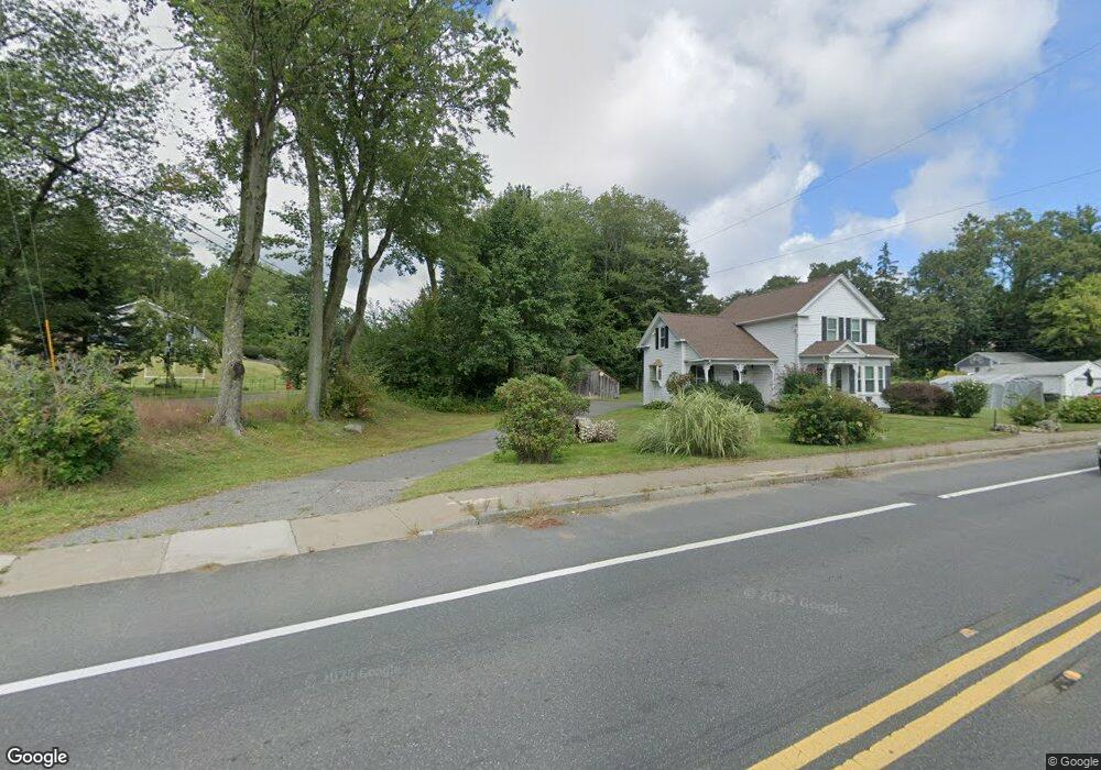
20 Ware St Palmer, MA 01069
Estimated Value: $317,000 - $375,000
3
Beds
1
Bath
1,035
Sq Ft
$323/Sq Ft
Est. Value
About This Home
This home is located at 20 Ware St, Palmer, MA 01069 and is currently estimated at $334,074, approximately $322 per square foot. 20 Ware St is a home located in Hampden County with nearby schools including Old Mill Pond Elementary School, Converse Middle School, and Palmer High School.
Create a Home Valuation Report for This Property
The Home Valuation Report is an in-depth analysis detailing your home's value as well as a comparison with similar homes in the area
Home Values in the Area
Average Home Value in this Area
Tax History Compared to Growth
Tax History
| Year | Tax Paid | Tax Assessment Tax Assessment Total Assessment is a certain percentage of the fair market value that is determined by local assessors to be the total taxable value of land and additions on the property. | Land | Improvement |
|---|---|---|---|---|
| 2025 | $4,824 | $263,900 | $68,200 | $195,700 |
| 2024 | $4,483 | $240,100 | $62,100 | $178,000 |
| 2023 | $4,413 | $227,000 | $62,100 | $164,900 |
| 2022 | $4,156 | $194,200 | $54,500 | $139,700 |
| 2021 | $3,895 | $172,100 | $60,600 | $111,500 |
| 2020 | $5,833 | $166,000 | $60,600 | $105,400 |
| 2019 | $5,683 | $166,000 | $60,600 | $105,400 |
| 2018 | $3,564 | $161,400 | $58,900 | $102,500 |
| 2017 | $3,481 | $161,400 | $58,900 | $102,500 |
| 2016 | $3,418 | $160,700 | $57,200 | $103,500 |
| 2015 | $3,315 | $160,700 | $57,200 | $103,500 |
Source: Public Records
Map
Nearby Homes
- 378 Rondeau St
- 2240 Main St
- 77 O'Neil Rd
- 95 Town Farm Rd
- 14 Laurel Dr
- 235 Crouch Rd
- 201 West St
- 0 Town Farm Rd
- Lot 3C Crouch Rd
- 431 Coy Hill Rd
- LOT 3 Monson Turnpike Rd
- Lot 2 Brimfield Rd
- Lot 1 Brimfield Rd
- 44 South St
- 28 Gould St
- 170 Bridge St
- Lot 7 Reed St
- 87 W Main St
- 201 Belchertown Rd
- 7 Webb Ct