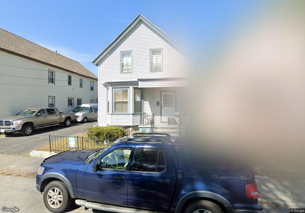
20 Weed St Unit 4 Lowell, MA 01852
Sacred Heart NeighborhoodEstimated Value: $451,000 - $535,000
2
Beds
2
Baths
1,324
Sq Ft
$372/Sq Ft
Est. Value
About This Home
This home is located at 20 Weed St Unit 4, Lowell, MA 01852 and is currently estimated at $491,963, approximately $371 per square foot. 20 Weed St Unit 4 is a home located in Middlesex County with nearby schools including Abraham Lincoln Elementary School, Moody Elementary School, and Greenhalge Elementary School.
Ownership History
Date
Name
Owned For
Owner Type
Purchase Details
Closed on
Aug 29, 2016
Sold by
Morin Normand E
Bought by
Morin Normand E and Morin Diane M
Current Estimated Value
Purchase Details
Closed on
Nov 1, 2002
Sold by
Morin Claire C
Bought by
Morin Normand Ej
Home Financials for this Owner
Home Financials are based on the most recent Mortgage that was taken out on this home.
Original Mortgage
$200,760
Interest Rate
6.09%
Mortgage Type
Purchase Money Mortgage
Create a Home Valuation Report for This Property
The Home Valuation Report is an in-depth analysis detailing your home's value as well as a comparison with similar homes in the area
Home Values in the Area
Average Home Value in this Area
Purchase History
| Date | Buyer | Sale Price | Title Company |
|---|---|---|---|
| Morin Normand E | -- | -- | |
| Morin Normand E | -- | -- | |
| Morin Normand Ej | $239,000 | -- | |
| Morin Normand Ej | $239,000 | -- |
Source: Public Records
Mortgage History
| Date | Status | Borrower | Loan Amount |
|---|---|---|---|
| Previous Owner | Morin Normand Ej | $200,760 |
Source: Public Records
Tax History Compared to Growth
Tax History
| Year | Tax Paid | Tax Assessment Tax Assessment Total Assessment is a certain percentage of the fair market value that is determined by local assessors to be the total taxable value of land and additions on the property. | Land | Improvement |
|---|---|---|---|---|
| 2025 | $4,622 | $402,600 | $151,500 | $251,100 |
| 2024 | $4,539 | $381,100 | $141,600 | $239,500 |
| 2023 | $4,268 | $343,600 | $123,200 | $220,400 |
| 2022 | $3,997 | $315,000 | $112,000 | $203,000 |
| 2021 | $3,727 | $276,900 | $97,400 | $179,500 |
| 2020 | $3,516 | $263,200 | $92,600 | $170,600 |
| 2019 | $3,281 | $233,700 | $85,800 | $147,900 |
| 2018 | $3,152 | $223,000 | $81,700 | $141,300 |
| 2017 | $3,085 | $206,800 | $74,300 | $132,500 |
| 2016 | $2,823 | $186,200 | $64,900 | $121,300 |
| 2015 | $2,745 | $177,300 | $64,900 | $112,400 |
| 2013 | $2,574 | $171,500 | $72,500 | $99,000 |
Source: Public Records
Map
Nearby Homes
- 58 Fay St Unit 2
- 106 Lundberg St Unit 6
- 41 Devine Ave
- 1508 Gorham St Unit 101
- 1514 Gorham St Unit 5
- 1514 Gorham St Unit 4
- 1514 Gorham St Unit 3
- 1514 Gorham St Unit 2
- 1514 Gorham St Unit 1
- 59 Boston Rd
- 433 Lincoln St
- 157 Billerica St
- 29 Marriner St
- 197 Moore St
- 122 Swan St Unit 102
- 131 London St
- 20 Woodland Dr Unit 304
- 20 Woodland Dr Unit 316
- 5 Lenox St Unit 2
- 15 Carter Ave