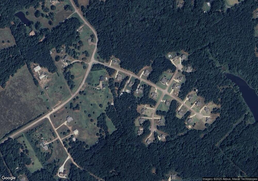
20 Wellsley Rd Unit 23 Covington, GA 30014
Estimated Value: $374,000 - $418,000
3
Beds
2
Baths
2,234
Sq Ft
$178/Sq Ft
Est. Value
About This Home
This home is located at 20 Wellsley Rd Unit 23, Covington, GA 30014 and is currently estimated at $396,727, approximately $177 per square foot. 20 Wellsley Rd Unit 23 is a home located in Newton County with nearby schools including Mansfield Elementary School, Indian Creek Middle School, and Alcovy High School.
Ownership History
Date
Name
Owned For
Owner Type
Purchase Details
Closed on
Mar 31, 2017
Sold by
Signature Homes I
Bought by
Nixon Dennis Randall and Nixon Jessica L
Current Estimated Value
Home Financials for this Owner
Home Financials are based on the most recent Mortgage that was taken out on this home.
Original Mortgage
$193,331
Outstanding Balance
$160,447
Interest Rate
4.37%
Mortgage Type
FHA
Estimated Equity
$236,280
Purchase Details
Closed on
Apr 26, 2016
Sold by
H2 5 Properties Llc
Bought by
Anderson Signature Homes Inc
Home Financials for this Owner
Home Financials are based on the most recent Mortgage that was taken out on this home.
Original Mortgage
$130,000
Interest Rate
3.71%
Mortgage Type
Commercial
Purchase Details
Closed on
Oct 31, 2012
Sold by
State Bank And Trust Co
Bought by
Turningleaf Investments Llc
Purchase Details
Closed on
Sep 24, 2012
Sold by
Turningleaf Investments Ll
Bought by
H2 5 Properties Llc
Create a Home Valuation Report for This Property
The Home Valuation Report is an in-depth analysis detailing your home's value as well as a comparison with similar homes in the area
Home Values in the Area
Average Home Value in this Area
Purchase History
| Date | Buyer | Sale Price | Title Company |
|---|---|---|---|
| Nixon Dennis Randall | $196,900 | -- | |
| Anderson Signature Homes Inc | $20,000 | -- | |
| Turningleaf Investments Llc | $17,000 | -- | |
| H2 5 Properties Llc | $34,000 | -- |
Source: Public Records
Mortgage History
| Date | Status | Borrower | Loan Amount |
|---|---|---|---|
| Open | Nixon Dennis Randall | $193,331 | |
| Previous Owner | Anderson Signature Homes Inc | $130,000 |
Source: Public Records
Tax History Compared to Growth
Tax History
| Year | Tax Paid | Tax Assessment Tax Assessment Total Assessment is a certain percentage of the fair market value that is determined by local assessors to be the total taxable value of land and additions on the property. | Land | Improvement |
|---|---|---|---|---|
| 2025 | $3,591 | $147,160 | $21,200 | $125,960 |
| 2024 | $3,498 | $138,960 | $21,200 | $117,760 |
| 2023 | $3,512 | $130,520 | $14,000 | $116,520 |
| 2022 | $3,040 | $113,120 | $14,000 | $99,120 |
| 2021 | $3,113 | $100,160 | $14,000 | $86,160 |
| 2020 | $3,115 | $92,720 | $17,920 | $74,800 |
| 2019 | $2,932 | $85,960 | $18,000 | $67,960 |
| 2018 | $2,612 | $76,080 | $18,000 | $58,080 |
| 2017 | $2,578 | $75,080 | $18,000 | $57,080 |
| 2016 | $185 | $5,400 | $5,400 | $0 |
| 2015 | $185 | $5,400 | $5,400 | $0 |
| 2014 | $185 | $5,400 | $0 | $0 |
Source: Public Records
Map
Nearby Homes
- 235 Digby Rd
- 50 Bates Rd
- 70 McDonald Rd
- 940 Newton Factory Bridge Rd
- 686 Newton Factory Bridge Rd
- 0 Newton Factory Bridge Rd Unit 10615368
- 0 Newton Factory Bridge Rd Unit 7657995
- 10 Stewart Hollow Ln
- 100 Sourwood Dr
- 138 Sourwood Dr
- 1042 Stag Run Dr
- 115 Sourwood Dr
- 867 Bear Creek Point
- 31 Sourwood Dr
- 132 Armstrong Dr Unit 91
- 80 Stewart Hollow Ln
- 2902 County Line Rd
- 122 Armstrong Dr Unit 90
- 115 Willow Springs Dr
- 112 Armstrong Dr Unit 89
- 30 Wellsley Dr Unit 22
- 30 Wellsley Dr
- 10 Wellsley Dr
- 10 Wellsley Dr Unit 24
- 0 Wellsley Dr Unit 7039783
- 40 Wellsley Dr
- 40 Wellsley Dr Unit 21
- 120 E Pennick Dr
- 15 Wellsley Dr
- 218 Bates Rd
- 145 W Pennick Dr
- 35 Wellsley Dr
- 130 W Pennick Dr
- 130 W Pennick Dr Unit 19
- 130 Pin Oak Place
- W Pennick Dr Unit 20
- 45 Wellsley Dr
- 15 E Pennick Dr
- 115 W Pennick Dr
- 150 W Pennick Dr
