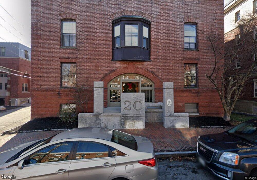
20 West St Unit 11 Portland, ME 04102
West End NeighborhoodEstimated Value: $331,953 - $388,000
2
Beds
1
Bath
831
Sq Ft
$440/Sq Ft
Est. Value
About This Home
This home is located at 20 West St Unit 11, Portland, ME 04102 and is currently estimated at $365,238, approximately $439 per square foot. 20 West St Unit 11 is a home located in Cumberland County with nearby schools including Howard C. Reiche Community School, King Middle School, and Baxter Academy for Tech & Sciences.
Ownership History
Date
Name
Owned For
Owner Type
Purchase Details
Closed on
May 16, 2014
Sold by
Jonathan W Sobel Ret and Sobel Jonathan W
Bought by
Whetham Erin J
Current Estimated Value
Purchase Details
Closed on
Nov 17, 2010
Sold by
Ivey Rebecca and Bank Of New York
Bought by
Bank Of New York
Purchase Details
Closed on
Feb 16, 2005
Sold by
Moor Jay H and Moor Judith A
Bought by
Ivey Rebecca
Home Financials for this Owner
Home Financials are based on the most recent Mortgage that was taken out on this home.
Original Mortgage
$169,900
Interest Rate
5.78%
Mortgage Type
Purchase Money Mortgage
Create a Home Valuation Report for This Property
The Home Valuation Report is an in-depth analysis detailing your home's value as well as a comparison with similar homes in the area
Home Values in the Area
Average Home Value in this Area
Purchase History
| Date | Buyer | Sale Price | Title Company |
|---|---|---|---|
| Whetham Erin J | -- | -- | |
| Bank Of New York | -- | -- | |
| Ivey Rebecca | -- | -- |
Source: Public Records
Mortgage History
| Date | Status | Borrower | Loan Amount |
|---|---|---|---|
| Previous Owner | Ivey Rebecca | $169,900 |
Source: Public Records
Tax History Compared to Growth
Tax History
| Year | Tax Paid | Tax Assessment Tax Assessment Total Assessment is a certain percentage of the fair market value that is determined by local assessors to be the total taxable value of land and additions on the property. | Land | Improvement |
|---|---|---|---|---|
| 2024 | $2,847 | $189,700 | $37,940 | $151,760 |
| 2023 | $2,734 | $189,700 | $37,940 | $151,760 |
| 2022 | $2,582 | $189,700 | $37,940 | $151,760 |
| 2021 | $2,464 | $189,700 | $37,940 | $151,760 |
| 2020 | $3,268 | $140,200 | $28,000 | $112,200 |
| 2019 | $3,268 | $140,200 | $28,000 | $112,200 |
| 2018 | $3,152 | $140,200 | $28,000 | $112,200 |
| 2017 | $3,035 | $140,200 | $28,000 | $112,200 |
| 2016 | $2,960 | $140,200 | $28,000 | $112,200 |
| 2015 | $2,892 | $140,200 | $28,000 | $112,200 |
| 2014 | $2,804 | $140,200 | $28,000 | $112,200 |
Source: Public Records
Map
Nearby Homes
- 53 Carleton St Unit A
- 51 Carleton St Unit B
- 51 Carleton St Unit A
- 20 West St Unit 3
- 10 Walker St
- 21 Dow St Unit 4
- 3 Walker St Unit 4
- 93 Pine St
- 64 Pine St Unit 303
- 64 Pine St Unit 201
- 64 Pine St Unit 301
- 64 Pine St Unit 401
- 64 Pine St Unit 403
- 64 Pine St Unit 203
- 30 Dow St
- 1 Horton Place
- 19 West St
- 6 Horton Place
- 129 Pine St Unit 2
- 209 Vaughan St Unit 7
- 20 West St Unit 19
- 20 West St Unit 18
- 20 West St Unit 17
- 20 West St Unit 16
- 20 West St Unit 15
- 20 West St Unit 14
- 20 West St Unit 13
- 20 West St Unit 12
- 20 West St Unit 10
- 20 West St Unit 9
- 20 West St Unit 8
- 20 West St Unit 7
- 20 West St Unit 6
- 20 West St Unit 5
- 20 West St Unit 4
- 20 West St Unit 1
- 20 West St Unit 25
- 20 West St Unit 34
- 20 West St Unit 33