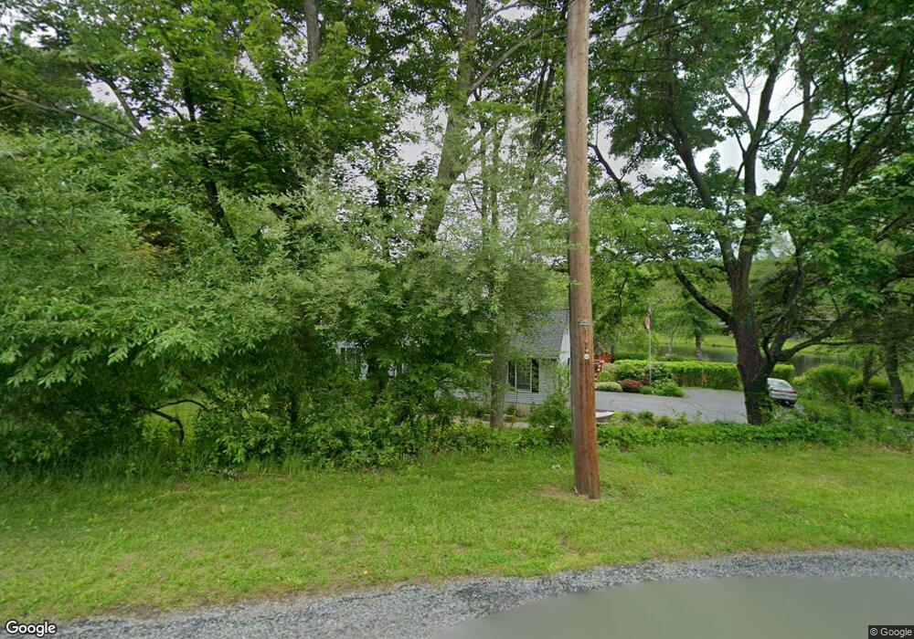
20 Westbrook Rd Newton, NJ 07860
Estimated Value: $494,693 - $656,000
--
Bed
--
Bath
2,014
Sq Ft
$276/Sq Ft
Est. Value
About This Home
This home is located at 20 Westbrook Rd, Newton, NJ 07860 and is currently estimated at $556,423, approximately $276 per square foot. 20 Westbrook Rd is a home located in Sussex County with nearby schools including Fredon Township School, Kittatinny Regional High School, and Lakeland Andover School.
Ownership History
Date
Name
Owned For
Owner Type
Purchase Details
Closed on
May 23, 1998
Sold by
Zagaria Victor Louis and Zagaria Veronica Ann
Bought by
Knutelsky Thomas and Knutelsky Robin
Current Estimated Value
Home Financials for this Owner
Home Financials are based on the most recent Mortgage that was taken out on this home.
Original Mortgage
$170,000
Outstanding Balance
$33,275
Interest Rate
7.12%
Estimated Equity
$523,148
Create a Home Valuation Report for This Property
The Home Valuation Report is an in-depth analysis detailing your home's value as well as a comparison with similar homes in the area
Home Values in the Area
Average Home Value in this Area
Purchase History
| Date | Buyer | Sale Price | Title Company |
|---|---|---|---|
| Knutelsky Thomas | $195,000 | -- |
Source: Public Records
Mortgage History
| Date | Status | Borrower | Loan Amount |
|---|---|---|---|
| Open | Knutelsky Thomas | $170,000 |
Source: Public Records
Tax History Compared to Growth
Tax History
| Year | Tax Paid | Tax Assessment Tax Assessment Total Assessment is a certain percentage of the fair market value that is determined by local assessors to be the total taxable value of land and additions on the property. | Land | Improvement |
|---|---|---|---|---|
| 2025 | $10,370 | $332,700 | $133,200 | $199,500 |
| 2024 | $9,931 | $332,700 | $133,200 | $199,500 |
| 2023 | $9,931 | $332,700 | $133,200 | $199,500 |
| 2022 | $9,731 | $332,700 | $133,200 | $199,500 |
| 2021 | $9,951 | $332,700 | $133,200 | $199,500 |
| 2020 | $9,898 | $332,700 | $133,200 | $199,500 |
| 2019 | $9,775 | $332,700 | $133,200 | $199,500 |
| 2018 | $9,608 | $332,700 | $133,200 | $199,500 |
| 2017 | $9,648 | $332,700 | $133,200 | $199,500 |
| 2016 | $9,562 | $332,700 | $133,200 | $199,500 |
| 2015 | $9,259 | $332,700 | $133,200 | $199,500 |
| 2014 | $9,103 | $332,700 | $133,200 | $199,500 |
Source: Public Records
Map
Nearby Homes
- 20 Anderson Hill Rd
- 63 Van Horn Rd
- 30 Old Swartswood Rd
- 907 Meadowbrook Rd
- 965 Cedar Dr
- 936 Dove Island Rd
- 51 Paulinskill Lake Rd
- 931 Cedar Dr
- 903 Stony Rd
- 208 Willows Rd
- 903 Cedar Dr
- 5 Babbitt Ct
- 1024 County Road 619
- 13 Summit Ave
- 905 Gapview Ct
- 77 Swartswood Rd
- 11 Betony Ct
- 37 Foster St
- 37 Park Ave
- 920 Deer Run Rd