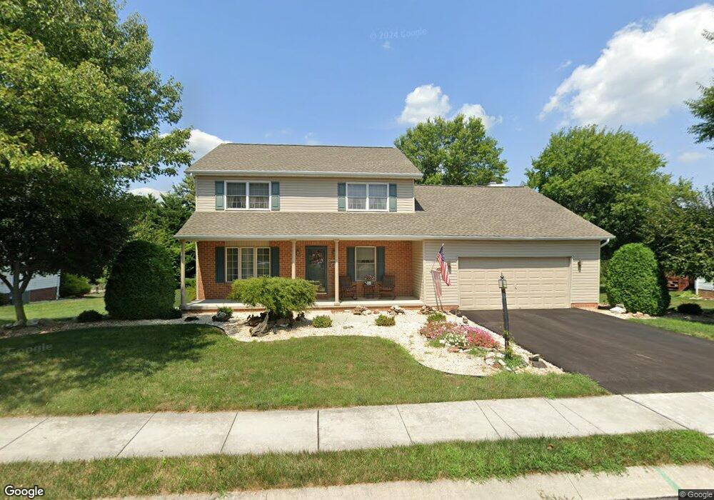
20 Wheaton Dr Unit 94 Littlestown, PA 17340
Estimated Value: $387,189 - $434,000
3
Beds
3
Baths
2,364
Sq Ft
$178/Sq Ft
Est. Value
About This Home
This home is located at 20 Wheaton Dr Unit 94, Littlestown, PA 17340 and is currently estimated at $420,297, approximately $177 per square foot. 20 Wheaton Dr Unit 94 is a home located in Adams County with nearby schools including Rolling Acres El School, Maple Avenue Middle School, and Littlestown Senior High School.
Ownership History
Date
Name
Owned For
Owner Type
Purchase Details
Closed on
Sep 2, 1993
Bought by
Vogel John R and Vogel Kathryn A
Current Estimated Value
Create a Home Valuation Report for This Property
The Home Valuation Report is an in-depth analysis detailing your home's value as well as a comparison with similar homes in the area
Home Values in the Area
Average Home Value in this Area
Purchase History
| Date | Buyer | Sale Price | Title Company |
|---|---|---|---|
| Vogel John R | $36,000 | -- |
Source: Public Records
Tax History Compared to Growth
Tax History
| Year | Tax Paid | Tax Assessment Tax Assessment Total Assessment is a certain percentage of the fair market value that is determined by local assessors to be the total taxable value of land and additions on the property. | Land | Improvement |
|---|---|---|---|---|
| 2025 | $4,929 | $260,400 | $46,500 | $213,900 |
| 2024 | $4,712 | $260,400 | $46,500 | $213,900 |
| 2023 | $4,618 | $260,400 | $46,500 | $213,900 |
| 2022 | $4,616 | $260,400 | $46,500 | $213,900 |
| 2021 | $4,453 | $260,400 | $46,500 | $213,900 |
| 2020 | $4,389 | $260,400 | $46,500 | $213,900 |
| 2019 | $4,296 | $260,400 | $46,500 | $213,900 |
| 2018 | $4,202 | $260,400 | $46,500 | $213,900 |
| 2017 | $4,057 | $260,400 | $46,500 | $213,900 |
| 2016 | -- | $260,400 | $46,500 | $213,900 |
| 2015 | -- | $260,400 | $46,500 | $213,900 |
| 2014 | -- | $260,400 | $46,500 | $213,900 |
Source: Public Records
Map
Nearby Homes
- 567 Lumber St
- 559 Lumber St
- 449 Glenwyn Dr
- 535 Lumber St
- 41 Smith Cir
- 43 Ashfield Dr Unit 14
- 211 E King St
- 106 E King St
- 61 E King St
- 162 Newark St
- 115 Charles St
- 117 Charles St
- 241 M St
- 140 Apple Grove Ln Unit 425
- 440 N Queen St
- 129 W King St
- 22 Rita Marie Ave
- LOT 9 Mehring Rd
- 0 Locust Dr Unit PAAD2015910
- 20c Locust Dr
- 18 Wheaton Dr Unit 93
- 22 Wheaton Dr Unit 95
- 8 Manor Cir Unit 101
- 6 Manor Cir Unit 100
- 14 Wheaton Dr Unit 92
- 21 Wheaton Dr Unit 69
- 26 Wheaton Dr Unit 96
- 19 Wheaton Dr Unit 68
- 10 Wheaton Dr Unit 91
- 23 Wheaton Dr Unit 70
- 7 Manor Cir Unit 102
- 4 Manor Cir Unit 99
- 17 Wheaton Dr Unit 67
- 30 Wheaton Dr Unit 97
- 8 Wheaton Dr Unit 90
- 25 Wheaton Dr Unit 71
- 15 Wheaton Dr Unit 66
- 27 Wheaton Dr Unit 72
- 606 Hanover Pike
- 2 Manor Cir Unit 98