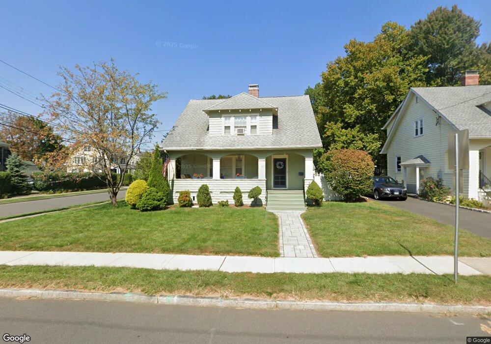
20 Whitman Ave West Hartford, CT 06107
Estimated Value: $574,000 - $616,000
4
Beds
6
Baths
1,589
Sq Ft
$372/Sq Ft
Est. Value
About This Home
This home is located at 20 Whitman Ave, West Hartford, CT 06107 and is currently estimated at $591,437, approximately $372 per square foot. 20 Whitman Ave is a home located in Hartford County with nearby schools including Braeburn School, Sedgwick Middle School, and Conard High School.
Ownership History
Date
Name
Owned For
Owner Type
Purchase Details
Closed on
Nov 2, 2009
Sold by
Cook Scott A
Bought by
Colello Kathleen A
Current Estimated Value
Home Financials for this Owner
Home Financials are based on the most recent Mortgage that was taken out on this home.
Original Mortgage
$261,600
Outstanding Balance
$171,338
Interest Rate
5.06%
Estimated Equity
$420,099
Purchase Details
Closed on
Jul 25, 2003
Sold by
Taylor Jane
Bought by
Cook Scott A and Cook Yelena
Home Financials for this Owner
Home Financials are based on the most recent Mortgage that was taken out on this home.
Original Mortgage
$199,920
Interest Rate
5.27%
Purchase Details
Closed on
Apr 26, 1996
Sold by
Clark Marygy
Bought by
Taylor Jane
Purchase Details
Closed on
Jan 12, 1990
Sold by
Oken Murray N
Bought by
Odoms Charles
Create a Home Valuation Report for This Property
The Home Valuation Report is an in-depth analysis detailing your home's value as well as a comparison with similar homes in the area
Home Values in the Area
Average Home Value in this Area
Purchase History
| Date | Buyer | Sale Price | Title Company |
|---|---|---|---|
| Colello Kathleen A | $327,000 | -- | |
| Cook Scott A | $249,900 | -- | |
| Taylor Jane | $149,900 | -- | |
| Odoms Charles | $205,000 | -- |
Source: Public Records
Mortgage History
| Date | Status | Borrower | Loan Amount |
|---|---|---|---|
| Open | Odoms Charles | $261,600 | |
| Previous Owner | Odoms Charles | $50,000 | |
| Previous Owner | Odoms Charles | $199,920 |
Source: Public Records
Tax History Compared to Growth
Tax History
| Year | Tax Paid | Tax Assessment Tax Assessment Total Assessment is a certain percentage of the fair market value that is determined by local assessors to be the total taxable value of land and additions on the property. | Land | Improvement |
|---|---|---|---|---|
| 2025 | $11,708 | $261,450 | $135,940 | $125,510 |
| 2024 | $11,072 | $261,450 | $135,940 | $125,510 |
| 2023 | $10,699 | $261,450 | $135,940 | $125,510 |
| 2022 | $10,636 | $261,450 | $135,940 | $125,510 |
| 2021 | $10,084 | $237,720 | $132,160 | $105,560 |
| 2020 | $9,571 | $228,970 | $128,170 | $100,800 |
| 2019 | $9,571 | $228,970 | $128,170 | $100,800 |
| 2018 | $9,388 | $228,970 | $128,170 | $100,800 |
| 2017 | $9,397 | $228,970 | $128,170 | $100,800 |
| 2016 | $7,893 | $199,780 | $96,530 | $103,250 |
| 2015 | $7,654 | $199,780 | $96,530 | $103,250 |
| 2014 | $7,466 | $199,780 | $96,530 | $103,250 |
Source: Public Records
Map
Nearby Homes
- 183 Loomis Dr Unit 109
- 1006A Trout Brook Dr Unit 1006A
- 1110 Trout Brook Dr
- 132 N Main St
- 2 Arapahoe Rd Unit 313
- 2 Arapahoe Rd Unit 308
- 2 Arapahoe Rd Unit 611
- 2 Arapahoe Rd Unit 601
- 2 Arapahoe Rd Unit 510
- 2 Arapahoe Rd Unit 505
- 2 Arapahoe Rd Unit 604
- 2 Arapahoe Rd Unit 609
- 2 Arapahoe Rd Unit 607
- 2 Arapahoe Rd Unit 312
- 2 Arapahoe Rd Unit 603
- 2 Arapahoe Rd Unit 605
- 2 Arapahoe Rd Unit 613
- 2 Arapahoe Rd Unit 612
- 2 Arapahoe Rd Unit 310
- 2 Arapahoe Rd Unit 515