20 William St Spencer, NY 14883
Estimated Value: $167,000 - $202,002
3
Beds
2
Baths
1,400
Sq Ft
$137/Sq Ft
Est. Value
About This Home
This home is located at 20 William St, Spencer, NY 14883 and is currently estimated at $191,751, approximately $136 per square foot. 20 William St is a home located in Tioga County with nearby schools including Spencer-Van Etten Elementary School, Spencer-Van Etten Middle School, and Spencer-Van Etten High School.
Ownership History
Date
Name
Owned For
Owner Type
Purchase Details
Closed on
Oct 16, 2009
Sold by
Vliet Bryan
Bought by
Asay Roger
Current Estimated Value
Home Financials for this Owner
Home Financials are based on the most recent Mortgage that was taken out on this home.
Original Mortgage
$118,316
Outstanding Balance
$65,307
Interest Rate
5.09%
Mortgage Type
Purchase Money Mortgage
Estimated Equity
$126,444
Purchase Details
Closed on
Jan 30, 2007
Sold by
Merrick Richard L
Bought by
Vliet Bryan R
Create a Home Valuation Report for This Property
The Home Valuation Report is an in-depth analysis detailing your home's value as well as a comparison with similar homes in the area
Home Values in the Area
Average Home Value in this Area
Purchase History
| Date | Buyer | Sale Price | Title Company |
|---|---|---|---|
| Asay Roger | $122,000 | Don Crittenden | |
| Vliet Bryan R | $92,700 | Matthew Peterson |
Source: Public Records
Mortgage History
| Date | Status | Borrower | Loan Amount |
|---|---|---|---|
| Open | Asay Roger | $118,316 |
Source: Public Records
Tax History
| Year | Tax Paid | Tax Assessment Tax Assessment Total Assessment is a certain percentage of the fair market value that is determined by local assessors to be the total taxable value of land and additions on the property. | Land | Improvement |
|---|---|---|---|---|
| 2024 | $4,844 | $141,400 | $16,400 | $125,000 |
| 2023 | $46 | $141,400 | $16,400 | $125,000 |
| 2022 | $4,501 | $141,400 | $16,400 | $125,000 |
| 2021 | $4,716 | $141,400 | $16,400 | $125,000 |
| 2020 | $4,101 | $141,400 | $16,400 | $125,000 |
| 2019 | $2,151 | $122,700 | $19,200 | $103,500 |
| 2018 | $3,934 | $122,700 | $19,200 | $103,500 |
| 2017 | $3,878 | $122,700 | $19,200 | $103,500 |
| 2016 | $3,813 | $122,700 | $19,200 | $103,500 |
| 2015 | -- | $122,700 | $19,200 | $103,500 |
| 2014 | -- | $122,700 | $19,200 | $103,500 |
Source: Public Records
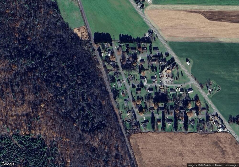
Map
Nearby Homes
- 0 Gleason Hill Rd
- 671 Washburn Rd
- 289 Fisher Settlement Rd
- 0 Dawson Hill Rd
- 27 E Tioga St
- 0 Candor Rd Unit R1616899
- Lot-02 Langford Creek Rd
- WP-01 Langford Creek Rd
- WP-02 Langford Creek Rd
- Lot-01 Langford Creek Rd
- 380 Candor Rd
- 25 Front St
- 0 Langford Creek Rd Unit LotWP002
- 0 Langford Creek Rd Unit LotWP001
- 12 Front St
- 284 E Spencer Rd
- 284 E Spencer Rd Unit LOTWP001
- 3 Clark Ave
- 50 Main St
- 753 Candor Rd