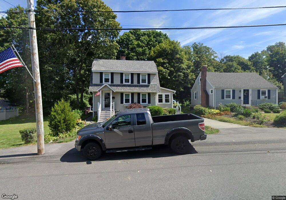
20 Wilson Ave Weymouth, MA 02188
Weymouth Landing NeighborhoodEstimated Value: $620,000 - $655,000
3
Beds
1
Bath
1,768
Sq Ft
$359/Sq Ft
Est. Value
About This Home
This home is located at 20 Wilson Ave, Weymouth, MA 02188 and is currently estimated at $635,324, approximately $359 per square foot. 20 Wilson Ave is a home located in Norfolk County with nearby schools including Abigail Adams Middle School, Academy Avenue Elementary School, and Weymouth Middle School Chapman.
Ownership History
Date
Name
Owned For
Owner Type
Purchase Details
Closed on
Nov 6, 1992
Sold by
Cody Gerald F and Cody Lois P
Bought by
Glover David A and Glover Marybeth S
Current Estimated Value
Create a Home Valuation Report for This Property
The Home Valuation Report is an in-depth analysis detailing your home's value as well as a comparison with similar homes in the area
Home Values in the Area
Average Home Value in this Area
Purchase History
| Date | Buyer | Sale Price | Title Company |
|---|---|---|---|
| Glover David A | $136,000 | -- |
Source: Public Records
Mortgage History
| Date | Status | Borrower | Loan Amount |
|---|---|---|---|
| Open | Glover David A | $75,000 | |
| Open | Glover David A | $120,000 | |
| Closed | Glover David A | $70,000 |
Source: Public Records
Tax History Compared to Growth
Tax History
| Year | Tax Paid | Tax Assessment Tax Assessment Total Assessment is a certain percentage of the fair market value that is determined by local assessors to be the total taxable value of land and additions on the property. | Land | Improvement |
|---|---|---|---|---|
| 2025 | $5,496 | $544,200 | $219,300 | $324,900 |
| 2024 | $5,322 | $518,200 | $208,800 | $309,400 |
| 2023 | $5,146 | $492,400 | $193,400 | $299,000 |
| 2022 | $5,010 | $437,200 | $179,100 | $258,100 |
| 2021 | $4,670 | $397,800 | $179,100 | $218,700 |
| 2020 | $4,465 | $374,600 | $179,100 | $195,500 |
| 2019 | $4,355 | $359,300 | $172,200 | $187,100 |
| 2018 | $4,218 | $337,400 | $164,000 | $173,400 |
| 2017 | $3,985 | $311,100 | $156,200 | $154,900 |
| 2016 | $3,551 | $277,400 | $150,200 | $127,200 |
| 2015 | $3,345 | $259,300 | $143,400 | $115,900 |
| 2014 | $3,204 | $240,900 | $133,400 | $107,500 |
Source: Public Records
Map
Nearby Homes
- 38 Idlewell St
- 93 Wilson Ave
- 70 Biscayne Ave
- 4 Sutton St
- 35 Seminole Ave
- 669 Commercial St
- 294 Commercial St
- 693 Commercial St
- 727 Commercial St
- 20 Richards Rd
- 286 Broad St
- 114 Gilbert Rd
- 33 Argyle Rd
- 28 Webb St
- 60 Edgehill Rd
- 9 Vine St Unit 1
- 17 Worster Terrace
- 51 Beals St Unit 53
- 114 Broad St Unit D
- 114 Broad St Unit C