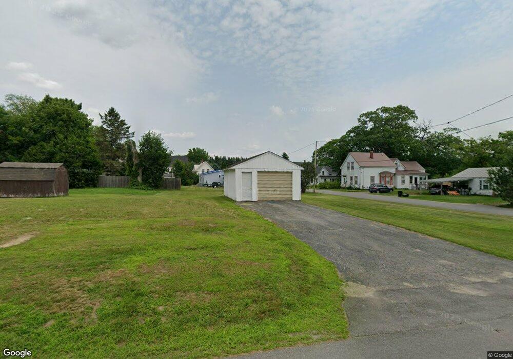
20 Winter St Fairfield, ME 04937
Estimated Value: $94,790 - $216,000
4
Beds
1
Bath
320
Sq Ft
$435/Sq Ft
Est. Value
About This Home
This home is located at 20 Winter St, Fairfield, ME 04937 and is currently estimated at $139,198, approximately $434 per square foot. 20 Winter St is a home with nearby schools including Lawrence High School, Kennebec Montessori School, and St John Catholic School.
Ownership History
Date
Name
Owned For
Owner Type
Purchase Details
Closed on
Sep 26, 2024
Sold by
Marks Andrea J
Bought by
Clifford Laura L and Strout Amanda J
Current Estimated Value
Purchase Details
Closed on
Oct 3, 2023
Sold by
Kennebec Water District
Bought by
Robert Christopher W
Purchase Details
Closed on
Sep 26, 2023
Sold by
Robert Christopher W
Bought by
Marks Andrea J
Create a Home Valuation Report for This Property
The Home Valuation Report is an in-depth analysis detailing your home's value as well as a comparison with similar homes in the area
Home Values in the Area
Average Home Value in this Area
Purchase History
| Date | Buyer | Sale Price | Title Company |
|---|---|---|---|
| Clifford Laura L | -- | None Available | |
| Clifford Laura L | -- | None Available | |
| Clifford Laura L | -- | None Available | |
| Robert Christopher W | -- | None Available | |
| Robert Christopher W | -- | None Available | |
| Robert Christopher W | -- | None Available | |
| Marks Andrea J | -- | None Available |
Source: Public Records
Tax History
| Year | Tax Paid | Tax Assessment Tax Assessment Total Assessment is a certain percentage of the fair market value that is determined by local assessors to be the total taxable value of land and additions on the property. | Land | Improvement |
|---|---|---|---|---|
| 2023 | $430 | $20,000 | $16,400 | $3,600 |
| 2022 | $420 | $20,000 | $16,400 | $3,600 |
| 2021 | $440 | $20,000 | $16,400 | $3,600 |
| 2020 | $1,107 | $20,000 | $16,400 | $3,600 |
| 2019 | $446 | $20,000 | $16,400 | $3,600 |
| 2018 | $456 | $20,000 | $16,400 | $3,600 |
| 2017 | $458 | $20,100 | $16,400 | $3,700 |
| 2016 | $450 | $20,100 | $16,400 | $3,700 |
| 2015 | $436 | $20,100 | $16,400 | $3,700 |
| 2014 | $541 | $26,700 | $16,400 | $10,300 |
| 2013 | $541 | $26,700 | $16,400 | $10,300 |
Source: Public Records
Map
Nearby Homes
- 5 Brooks St
- 17 Burrill St
- 30 Cottage St
- 2 Gibson St
- 2 Kelley St
- 29 Lawrence Ave
- 3 Bunker Ave
- 28.5 Elm St
- 19 Bunker Ave
- 1 Industrial Rd
- 3 Evergreen Dr
- 5 Evergreen Dr
- 14 Osborne St
- 1-6 Industrial Rd
- 137 Heywood Rd
- 17 Hapworth Ln
- Map 36 Lots 13 14 & 17 Sheridan Dr
- 10 Sheridan Dr
- 17 Sheridan Dr
- 5 Industrial Rd Rd
Your Personal Tour Guide
Ask me questions while you tour the home.