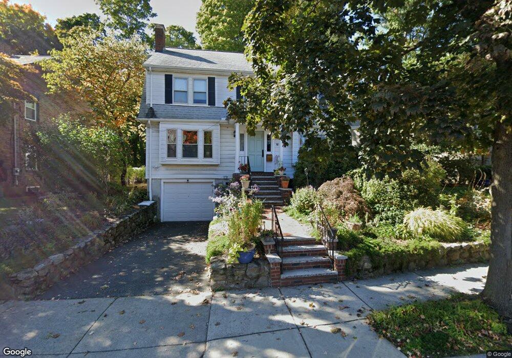
20 Winthrop Rd Brookline, MA 02445
Washington Square NeighborhoodEstimated Value: $2,294,000 - $2,945,000
About This Home
This home is located at 20 Winthrop Rd, Brookline, MA 02445 and is currently estimated at $2,620,449, approximately $1,052 per square foot. 20 Winthrop Rd is a home located in Norfolk County with nearby schools including Pierce School, Brookline High School, and St. Mary of the Assumption Elementary School.
Ownership History
We collect this data history from publicly available records. To have your information removed, we recommend requesting removal directly through your county’s website.
Purchase Details
Home Financials for this Owner
Home Financials are based on the most recent Mortgage that was taken out on this home.Home Values in the Area
Average Home Value in this Area
Purchase History
We collect this data history from publicly available records. To have your information removed, we recommend requesting removal directly through your county’s website.
| Date | Buyer | Sale Price | Title Company |
|---|---|---|---|
| $427,500 | -- |
Mortgage History
We collect this data history from publicly available records. To have your information removed, we recommend requesting removal directly through your county’s website.
| Date | Status | Borrower | Loan Amount |
|---|---|---|---|
| Closed | $142,000 | ||
| Previous Owner | $20,300 |
Tax History
We collect this data history from publicly available records. To have your information removed, we recommend requesting removal directly through your county’s website.
| Year | Tax Paid | Tax Assessment Tax Assessment Total Assessment is a certain percentage of the fair market value that is determined by local assessors to be the total taxable value of land and additions on the property. | Land | Improvement |
|---|---|---|---|---|
| 2025 | $22,401 | $2,269,600 | $1,415,300 | $854,300 |
| 2024 | $21,313 | $2,181,500 | $1,360,800 | $820,700 |
| 2023 | $18,809 | $1,886,600 | $1,083,400 | $803,200 |
| 2022 | $18,308 | $1,796,700 | $1,031,800 | $764,900 |
| 2021 | $16,930 | $1,727,600 | $992,100 | $735,500 |
| 2020 | $15,370 | $1,626,500 | $902,000 | $724,500 |
| 2019 | $14,514 | $1,549,000 | $859,000 | $690,000 |
| 2018 | $13,211 | $1,396,500 | $715,800 | $680,700 |
| 2017 | $13,016 | $1,317,400 | $675,300 | $642,100 |
| 2016 | $12,829 | $1,231,200 | $631,100 | $600,100 |
| 2015 | $12,289 | $1,150,700 | $589,800 | $560,900 |
| 2014 | $11,858 | $1,041,100 | $491,500 | $549,600 |
Map
- 63 Winthrop Rd Unit 1
- 79 Winthrop Rd
- 620 Washington St Unit 620
- 485 Washington St Unit 3
- 483 Washington St Unit 1
- 84 Winthrop Rd
- 97-103 University Rd
- 97 University Rd
- 91 University Rd Unit 2
- 8 Colbourne Crescent Unit 3
- 1471 Beacon St Unit 1
- 1471 Beacon St Unit 10
- 89 University Rd
- 461 Washington St Unit 1
- 17 Park Vale Unit 4
- 1514 Beacon St Unit 24
- 127 Winthrop Rd Unit 6A
- 1500 Beacon St Unit 4
- 80 Park St Unit 75
- 1575 Beacon St Unit 3R
- 25 Winthrop Rd Unit 27
- 25 Winthrop Rd
- 25 Winthrop Rd
- 25 Winthrop Rd Unit 25
- 27 Winthrop Rd Unit B
- 21 Winthrop Rd
- 31 Winthrop Rd
- 29 Winthrop Rd
- 29 Winthrop Rd
- 31 Winthrop Rd Unit 31
- 29 Gardner Rd Unit 1
- 29 Gardner Rd Unit 7
- 29 Gardner Rd Unit 1E
- 29 Gardner Rd Unit 4C
- 29 Gardner Rd Unit 6-I
- 29 Gardner Rd
- 33 Winthrop Rd Unit 1
- 33 Winthrop Rd Unit 2
- 33 Winthrop Rd
- 33 Winthrop Rd
Ask me questions while you tour the home.