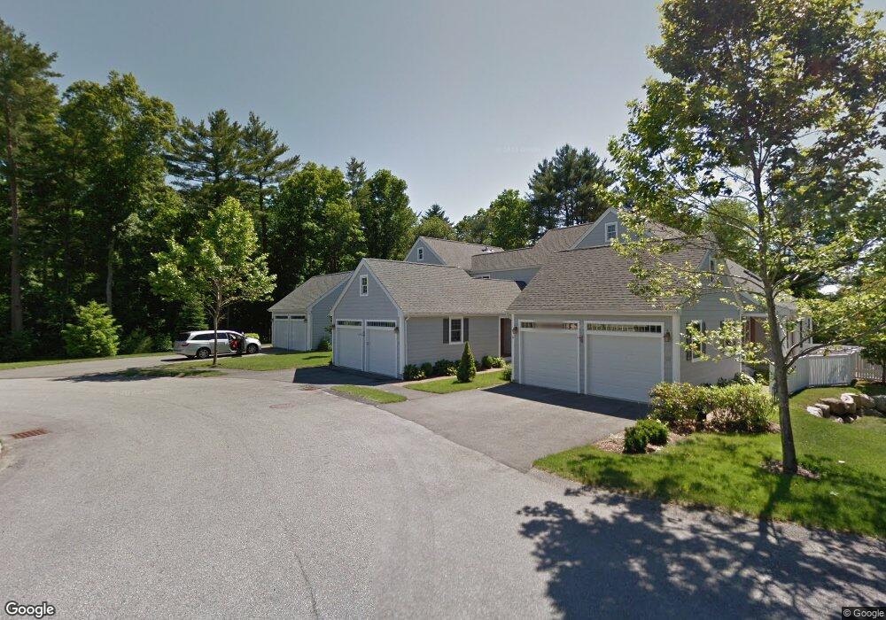
20 Woodbine Cir Unit 20 Hanover, MA 02339
Estimated Value: $728,586 - $799,000
2
Beds
3
Baths
1,958
Sq Ft
$387/Sq Ft
Est. Value
About This Home
This home is located at 20 Woodbine Cir Unit 20, Hanover, MA 02339 and is currently estimated at $758,647, approximately $387 per square foot. 20 Woodbine Cir Unit 20 is a home located in Plymouth County with nearby schools including Hanover High School, South Shore Charter Public School, and Norwell KinderCare.
Ownership History
Date
Name
Owned For
Owner Type
Purchase Details
Closed on
Jan 21, 2020
Sold by
Mcmenimen Gloria G
Bought by
Ggr T
Current Estimated Value
Purchase Details
Closed on
Jun 17, 2014
Sold by
Brewster George and Brewster Patricia
Bought by
Mcmenimen Gloria G
Purchase Details
Closed on
Jul 8, 2005
Sold by
Walnut Creek Llc and Vlaco John B
Bought by
Brewster George and Brewster Patricia
Home Financials for this Owner
Home Financials are based on the most recent Mortgage that was taken out on this home.
Original Mortgage
$436,300
Interest Rate
5.71%
Mortgage Type
Purchase Money Mortgage
Create a Home Valuation Report for This Property
The Home Valuation Report is an in-depth analysis detailing your home's value as well as a comparison with similar homes in the area
Home Values in the Area
Average Home Value in this Area
Purchase History
| Date | Buyer | Sale Price | Title Company |
|---|---|---|---|
| Ggr T | -- | None Available | |
| Mcmenimen Gloria G | $412,000 | -- | |
| Brewster George | $484,788 | -- |
Source: Public Records
Mortgage History
| Date | Status | Borrower | Loan Amount |
|---|---|---|---|
| Previous Owner | Brewster George | $436,300 |
Source: Public Records
Tax History Compared to Growth
Tax History
| Year | Tax Paid | Tax Assessment Tax Assessment Total Assessment is a certain percentage of the fair market value that is determined by local assessors to be the total taxable value of land and additions on the property. | Land | Improvement |
|---|---|---|---|---|
| 2025 | $7,793 | $631,000 | $0 | $631,000 |
| 2024 | $7,274 | $566,500 | $0 | $566,500 |
| 2023 | $6,806 | $504,500 | $0 | $504,500 |
| 2022 | $7,881 | $516,800 | $0 | $516,800 |
| 2021 | $7,543 | $461,900 | $0 | $461,900 |
| 2020 | $7,534 | $461,900 | $0 | $461,900 |
| 2019 | $7,281 | $443,700 | $0 | $443,700 |
| 2018 | $7,215 | $448,900 | $0 | $448,900 |
| 2017 | $6,826 | $413,200 | $0 | $413,200 |
| 2016 | $6,768 | $401,400 | $0 | $401,400 |
| 2015 | $6,428 | $398,000 | $0 | $398,000 |
Source: Public Records
Map
Nearby Homes
- 375 Webster St
- 70 Dillingham Way
- 276 Woodland Dr
- 1239 Main St
- 53 Chestnut St
- 7 Assinippi Ave Unit 306
- 118 Bates Way
- 80 Coolidge Rd
- 114 Main St
- 214 Washington St Unit 24
- 214 Washington St Unit 28
- 225 Prospect St
- 62 Larchmont Ln
- 3 Blueberry Ct
- 216 Whiting St
- 120 Deerfield Ln
- 18 Colby St
- 265 Silver St
- 55 Turner Rd
- 251 Prospect St
- 147 Juniper Ln
- 20 Woodbine Cir
- 18 Woodbine Cir
- 11 Hemlock Cir
- 13 Hemlock Cir
- 25 Hemlock Cir
- 27 Hemlock Cir
- 29 Hemlock Cir
- 18 Hemlock Cir
- 231 Juniper Ln
- 255 Juniper Ln
- 259 Juniper Ln
- 18 Hemlock Cir Unit 25
- 20 Woodbine Cir Unit 53
- 18 Woodbine Cir Unit 52
- 231 Juniper Ln Unit 12
- 27 Hemlock Cir Unit 27
- 255 Juniper Ln Unit 255
- 27 Juniper Ln
- 29 Juniper Ln