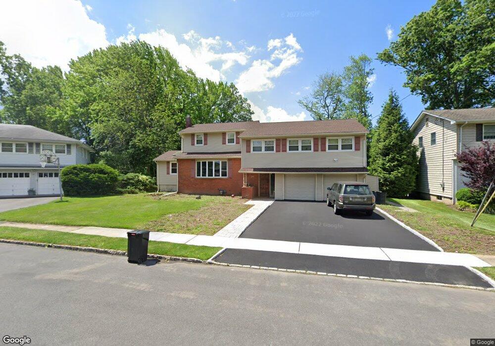
20 Woodside Rd Springfield, NJ 07081
Estimated Value: $907,068 - $1,018,000
Studio
--
Bath
3,352
Sq Ft
$287/Sq Ft
Est. Value
About This Home
This home is located at 20 Woodside Rd, Springfield, NJ 07081 and is currently estimated at $961,517, approximately $286 per square foot. 20 Woodside Rd is a home located in Union County with nearby schools including Jonathan Dayton High School and St James The Apostle School.
Ownership History
Date
Name
Owned For
Owner Type
Purchase Details
Closed on
Apr 20, 2004
Sold by
Feinberg Irwin
Bought by
Bejerano Yigal and Bejerano Orit
Current Estimated Value
Home Financials for this Owner
Home Financials are based on the most recent Mortgage that was taken out on this home.
Original Mortgage
$300,000
Outstanding Balance
$138,611
Interest Rate
5.4%
Estimated Equity
$822,906
Create a Home Valuation Report for This Property
The Home Valuation Report is an in-depth analysis detailing your home's value as well as a comparison with similar homes in the area
Home Values in the Area
Average Home Value in this Area
Purchase History
| Date | Buyer | Sale Price | Title Company |
|---|---|---|---|
| Bejerano Yigal | $549,000 | -- |
Source: Public Records
Mortgage History
| Date | Status | Borrower | Loan Amount |
|---|---|---|---|
| Open | Bejerano Yigal | $300,000 |
Source: Public Records
Tax History
| Year | Tax Paid | Tax Assessment Tax Assessment Total Assessment is a certain percentage of the fair market value that is determined by local assessors to be the total taxable value of land and additions on the property. | Land | Improvement |
|---|---|---|---|---|
| 2025 | $17,516 | $737,500 | $227,900 | $509,600 |
| 2024 | $17,228 | $737,500 | $227,900 | $509,600 |
| 2023 | $17,228 | $737,500 | $227,900 | $509,600 |
| 2022 | $15,996 | $737,500 | $227,900 | $509,600 |
| 2021 | $16,044 | $215,500 | $74,300 | $141,200 |
| 2020 | $15,794 | $215,500 | $74,300 | $141,200 |
| 2019 | $15,581 | $215,500 | $74,300 | $141,200 |
| 2018 | $15,301 | $215,500 | $74,300 | $141,200 |
| 2017 | $14,880 | $215,500 | $74,300 | $141,200 |
| 2016 | $14,592 | $215,500 | $74,300 | $141,200 |
| 2015 | $14,421 | $215,500 | $74,300 | $141,200 |
| 2014 | $14,150 | $215,500 | $74,300 | $141,200 |
Source: Public Records
Map
Nearby Homes
- 20 Archbridge Ln
- 13 Evergreen Ave
- 559 S Springfield Ave Unit 559
- 23 Diven St
- 294 Mountain Ave
- 148 Locust Dr
- 238 Riverside Dr
- 750 Andover Rd
- 2705 Andrea Rd
- 701 Mountain Ave
- 798 Pinewood Rd
- 105 Battle Hill Ave
- 787 Liberty Ave
- 67 Battle Hill Ave
- 35 S Derby Rd
- 2469 Macarthur Dr
- 2670 Bancroft Ave
- 24 Brook St
- 2 S Audlen Terrace
- 3702 Park Place
- 18 Woodside Rd
- 22 Woodside Rd
- 72 Twin Oaks Oval
- 76 Twin Oaks Oval
- 24 Woodside Rd
- 16 Woodside Rd
- 68 Twin Oaks Oval
- 17 Woodside Rd
- 23 Woodside Rd
- 80 Twin Oaks Oval
- 41 Christy Ln
- 45 Christy Ln
- 14 Woodside Rd
- 15 Woodside Rd
- 49 Christy Ln
- 37 Christy Ln
- 65 Twin Oaks Oval Unit 65D
- 64 Twin Oaks Oval
- 84 Twin Oaks Oval
- 53 Christy Ln
Your Personal Tour Guide
Ask me questions while you tour the home.