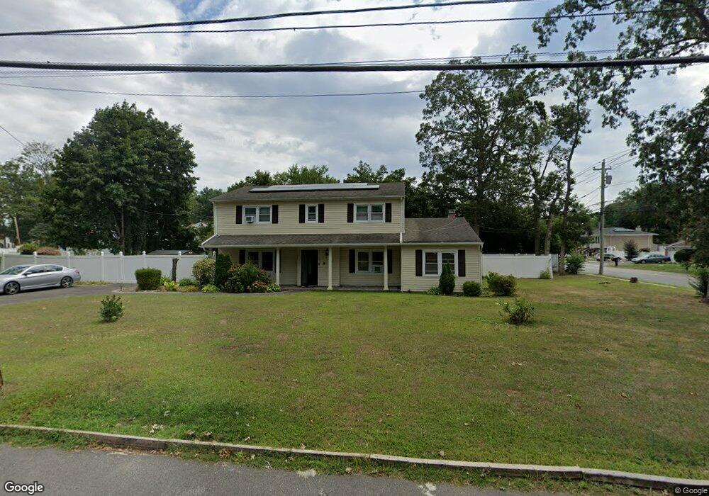
20 Wright St West Babylon, NY 11704
Estimated Value: $645,000 - $711,740
Studio
--
Bath
2,447
Sq Ft
$273/Sq Ft
Est. Value
About This Home
This home is located at 20 Wright St, West Babylon, NY 11704 and is currently estimated at $668,685, approximately $273 per square foot. 20 Wright St is a home located in Suffolk County with nearby schools including Robert Moses Middle School and North Babylon High School.
Ownership History
Date
Name
Owned For
Owner Type
Purchase Details
Closed on
May 10, 2013
Sold by
Charleston Anthony and Charleston Bertha
Bought by
Charleston Anthony and Charleston Bertha
Current Estimated Value
Purchase Details
Closed on
Aug 7, 2009
Sold by
Gilpin Lynden
Bought by
Charleston Anthony and Charleston Bertha
Home Financials for this Owner
Home Financials are based on the most recent Mortgage that was taken out on this home.
Original Mortgage
$232,819
Interest Rate
5.19%
Mortgage Type
Purchase Money Mortgage
Purchase Details
Closed on
Sep 29, 2005
Sold by
Jefferson Verdell
Bought by
Clermont Armarde
Create a Home Valuation Report for This Property
The Home Valuation Report is an in-depth analysis detailing your home's value as well as a comparison with similar homes in the area
Home Values in the Area
Average Home Value in this Area
Purchase History
| Date | Buyer | Sale Price | Title Company |
|---|---|---|---|
| Charleston Anthony | -- | -- | |
| Charleston Anthony | $335,000 | -- | |
| Clermont Armarde | $396,550 | -- |
Source: Public Records
Mortgage History
| Date | Status | Borrower | Loan Amount |
|---|---|---|---|
| Previous Owner | Charleston Anthony | $232,819 |
Source: Public Records
Tax History
| Year | Tax Paid | Tax Assessment Tax Assessment Total Assessment is a certain percentage of the fair market value that is determined by local assessors to be the total taxable value of land and additions on the property. | Land | Improvement |
|---|---|---|---|---|
| 2024 | $13,386 | $3,880 | $340 | $3,540 |
| 2023 | $13,386 | $3,880 | $340 | $3,540 |
| 2022 | $11,256 | $3,880 | $340 | $3,540 |
| 2021 | $11,256 | $3,880 | $340 | $3,540 |
| 2020 | $11,742 | $3,880 | $340 | $3,540 |
| 2019 | $11,742 | $0 | $0 | $0 |
| 2018 | $11,494 | $3,880 | $340 | $3,540 |
| 2017 | $11,494 | $3,880 | $340 | $3,540 |
| 2016 | $11,338 | $3,880 | $340 | $3,540 |
| 2015 | -- | $3,880 | $340 | $3,540 |
| 2014 | -- | $4,050 | $340 | $3,710 |
Source: Public Records
Map
Nearby Homes
- 57 Rockland Ave
- 751 Centerwood St
- 340 Westchester Ave
- 148 E Booker Ave
- 135 Cumberbach St
- 629 Lakeway Dr
- 35 Saint Johns Place
- 141 Davidson St
- 82 Schenectady Ave
- 351 State Ave
- 583 Centerwood St
- 568 Centerwood St
- 114 Westchester Ave
- 79 Centerwood St
- 58 Brook Ave
- 135 Westchester Ave
- 313 Warren St
- 16 Hickory St
- 49 Davidson St
- 69 Parkway Blvd
- 599 Mount Ave
- 34 Wright St
- 11 Wright St
- 130 Albany Ave
- 606 Mount Ave
- 15 Wright St
- 595 Mount Ave
- 600 Mount Ave
- 9 Wright St
- 120 Albany Ave
- 615 Mount Ave
- 125 Albany Ave
- 594 Mount Ave
- 117 Brooklyn Ave
- 150 Albany Ave Unit 150 Albany Ave, West
- 150 Albany Ave
- 3 Oswego Place
- 111 Brooklyn Ave
- 620 Mount Ave
- 7 Wright St
Your Personal Tour Guide
Ask me questions while you tour the home.