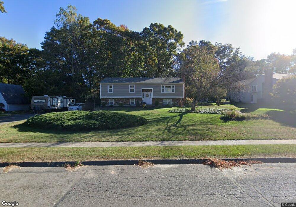
20 Yorktown Rd Southington, CT 06489
West Southington NeighborhoodEstimated Value: $445,462 - $541,000
3
Beds
3
Baths
1,288
Sq Ft
$376/Sq Ft
Est. Value
About This Home
This home is located at 20 Yorktown Rd, Southington, CT 06489 and is currently estimated at $484,116, approximately $375 per square foot. 20 Yorktown Rd is a home located in Hartford County with nearby schools including Urbin T. Kelley Elementary School, John F. Kennedy Middle School, and Southington High School.
Ownership History
Date
Name
Owned For
Owner Type
Purchase Details
Closed on
Aug 30, 2011
Sold by
Devin Peter M
Bought by
Devin Kathleen L
Current Estimated Value
Purchase Details
Closed on
May 12, 2005
Sold by
Wilkinson Joan
Bought by
Valetta Steven and Luna Monique
Create a Home Valuation Report for This Property
The Home Valuation Report is an in-depth analysis detailing your home's value as well as a comparison with similar homes in the area
Home Values in the Area
Average Home Value in this Area
Purchase History
| Date | Buyer | Sale Price | Title Company |
|---|---|---|---|
| Devin Kathleen L | -- | -- | |
| Valetta Steven | $341,500 | -- |
Source: Public Records
Mortgage History
| Date | Status | Borrower | Loan Amount |
|---|---|---|---|
| Closed | Valetta Steven | $65,606 | |
| Previous Owner | Valetta Steven | $170,000 |
Source: Public Records
Tax History Compared to Growth
Tax History
| Year | Tax Paid | Tax Assessment Tax Assessment Total Assessment is a certain percentage of the fair market value that is determined by local assessors to be the total taxable value of land and additions on the property. | Land | Improvement |
|---|---|---|---|---|
| 2025 | $6,402 | $192,760 | $69,400 | $123,360 |
| 2024 | $6,060 | $192,760 | $69,400 | $123,360 |
| 2023 | $5,852 | $192,760 | $69,400 | $123,360 |
| 2022 | $5,615 | $192,760 | $69,400 | $123,360 |
| 2021 | $5,596 | $192,760 | $69,400 | $123,360 |
| 2020 | $5,544 | $181,000 | $70,810 | $110,190 |
| 2019 | $5,546 | $181,000 | $70,810 | $110,190 |
| 2018 | $5,517 | $181,000 | $70,810 | $110,190 |
| 2017 | $5,517 | $181,000 | $70,810 | $110,190 |
| 2016 | $5,365 | $181,000 | $70,810 | $110,190 |
| 2015 | $5,247 | $180,060 | $67,440 | $112,620 |
| 2014 | $5,107 | $180,060 | $67,440 | $112,620 |
Source: Public Records
Map
Nearby Homes
- 452 Jude Ln
- 484 Jude Ln
- 1452 Mount Vernon Rd
- 132 Walkley Dr
- 231 Rolling Hill Ln
- 154 Cascade Ridge
- 39 Morningside Ln
- 943 Mount Vernon Rd
- 0 Winchester Estates Lot 17
- 356 W Center St
- 1940 Mount Vernon Rd
- 363 Winding Ridge
- 206 Mountain Pond Rd
- 151 Diana Rd
- 103 Mountain Pond Rd
- 1384 West St
- 218 Juniper Rd
- 59 Water St
- 220 W Main St Unit 2E
- 349 Marion Ave Unit 6
- 10 Yorktown Rd
- 30 Yorktown Rd
- 130 Pheasant Run Rd
- 120 Pheasant Run Rd
- 140 Pheasant Run Rd
- 25 Yorktown Rd
- 15 Yorktown Rd
- 40 Yorktown Rd
- 110 Pheasant Run Rd
- 35 Yorktown Rd
- 8 Yorktown Rd
- 100 Pheasant Run Rd
- 52 Foxcroft Ct
- 55 Yorktown Rd
- 11 Yorktown Rd
- 6 Yorktown Rd
- 131 Pheasant Run Rd
- 121 Pheasant Run Rd
- 141 Pheasant Run Rd
- 90 Pheasant Run Rd