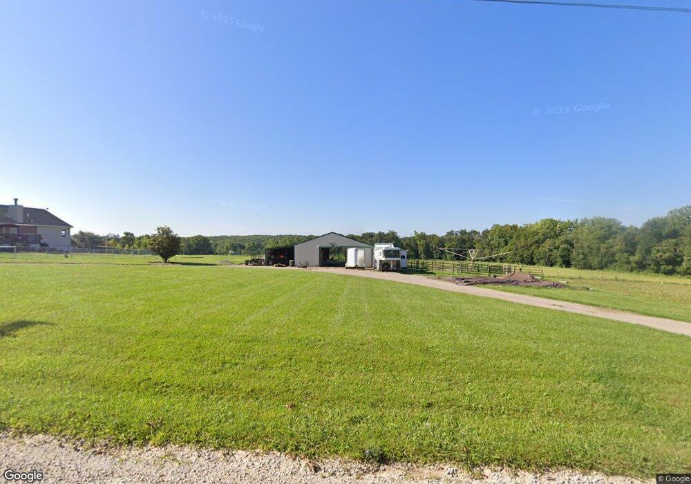
20 Zalabak Rd Hawk Point, MO 63349
Estimated Value: $511,929 - $767,000
3
Beds
2
Baths
1,829
Sq Ft
$333/Sq Ft
Est. Value
About This Home
This home is located at 20 Zalabak Rd, Hawk Point, MO 63349 and is currently estimated at $609,643, approximately $333 per square foot. 20 Zalabak Rd is a home located in Lincoln County with nearby schools including Hawk Point Elementary School, Troy Middle School, and Troy Buchanan High School.
Ownership History
Date
Name
Owned For
Owner Type
Purchase Details
Closed on
Sep 29, 2020
Sold by
Ec Farms Llc
Bought by
Turner Terry W and Turner Cherrie S
Current Estimated Value
Home Financials for this Owner
Home Financials are based on the most recent Mortgage that was taken out on this home.
Original Mortgage
$318,000
Outstanding Balance
$228,558
Interest Rate
2.9%
Mortgage Type
New Conventional
Estimated Equity
$381,085
Create a Home Valuation Report for This Property
The Home Valuation Report is an in-depth analysis detailing your home's value as well as a comparison with similar homes in the area
Purchase History
| Date | Buyer | Sale Price | Title Company |
|---|---|---|---|
| Turner Terry W | -- | Meyer Title Company |
Source: Public Records
Mortgage History
| Date | Status | Borrower | Loan Amount |
|---|---|---|---|
| Open | Turner Terry W | $318,000 |
Source: Public Records
Tax History
| Year | Tax Paid | Tax Assessment Tax Assessment Total Assessment is a certain percentage of the fair market value that is determined by local assessors to be the total taxable value of land and additions on the property. | Land | Improvement |
|---|---|---|---|---|
| 2025 | $2,891 | $52,294 | $3,570 | $48,724 |
| 2024 | $2,393 | $38,777 | $3,168 | $35,609 |
| 2023 | $2,380 | $39,792 | $3,409 | $36,383 |
| 2022 | $2,263 | $37,123 | $3,168 | $33,955 |
| 2021 | $2,275 | $187,742 | $0 | $0 |
| 2020 | $1,979 | $165,072 | $0 | $0 |
| 2019 | $1,981 | $165,072 | $0 | $0 |
| 2018 | $1,773 | $29,027 | $0 | $0 |
| 2017 | $1,778 | $29,027 | $0 | $0 |
| 2016 | $1,617 | $25,859 | $0 | $0 |
| 2015 | $1,622 | $25,859 | $0 | $0 |
| 2014 | $1,644 | $26,172 | $0 | $0 |
| 2013 | -- | $25,665 | $0 | $0 |
Source: Public Records
Map
Nearby Homes
- 140 Turkey Creek Crossing Dr
- 4 Ashley Ln
- 804 Timber Creek Ct
- 346 Bethel Rd
- 401 Deep Forest Dr
- 415 Walnut St
- 339 White Rd
- 64 Mocking Bird Ln
- 113 Bridlespur Ct
- 0 Cedar Circle Ln Unit MIS25071955
- 8 Summers Breeze Ct
- 2 Country Ridge Trail
- 45 Blue Line Ln
- 6.09 State Highway A
- 39024 Winter St
- 300 Shumard Oak Dr
- 21 Saratoga Springs Dr
- 38569 Canelos Farm Rd
- 000 Truxton Church Rd
- 345 Quarry Rd
- 271 Turkey Creek Rd
- 21 Glears Hollow Ln
- 120 Turkey Creek Farm Ln
- 260 Turkey Creek Rd
- 17 Bluestem Ln
- 12 Bluestem Ln
- 205 Turkey Creek Rd
- 035+/- Ac Turkey Creek Farm Ln
- 14118.76 Ac Turkey Creek Farm Ln
- 380 Turkey Creek Rd
- 123 Zalabak Rd
- 27 Carrie Ln
- 29 Carrie Ln
- 100 Bluestem Ln
- 162 Turkey Creek Farm Ln
- 141 Zalabak Rd
- 184 Zalabak Rd
- 141 Turkey Creek Farm Ln
- 419 Turkey Creek Rd
- 81 Bluestem Ln
Your Personal Tour Guide
Ask me questions while you tour the home.