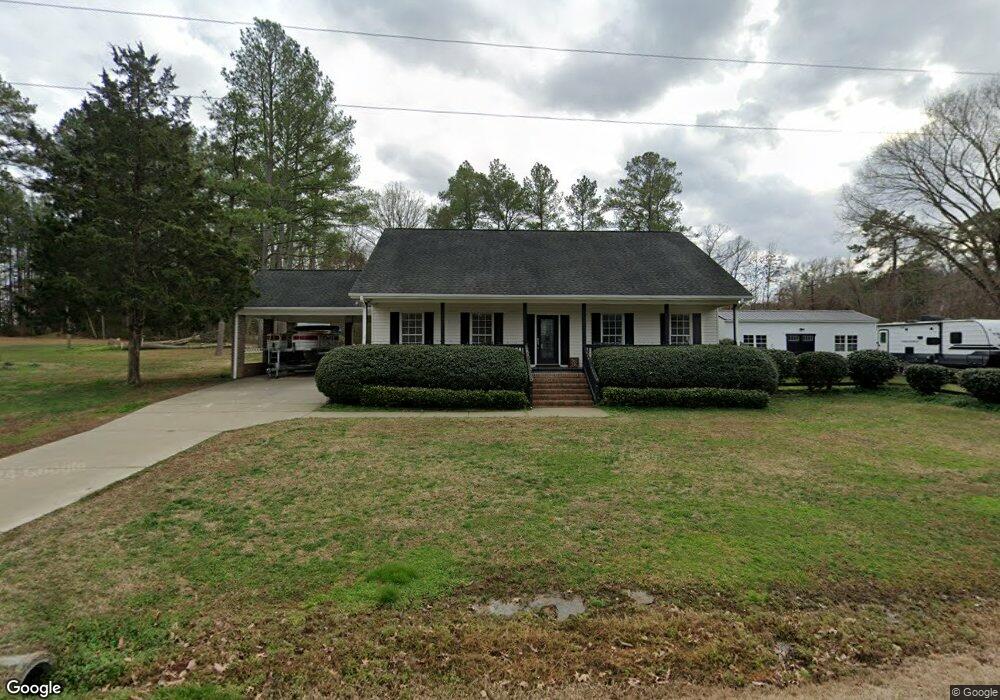
20 Zimmerman Rd Sanford, NC 27330
Estimated Value: $261,000 - $368,000
3
Beds
2
Baths
1,613
Sq Ft
$185/Sq Ft
Est. Value
About This Home
This home is located at 20 Zimmerman Rd, Sanford, NC 27330 and is currently estimated at $298,484, approximately $185 per square foot. 20 Zimmerman Rd is a home located in Lee County with nearby schools including Benjamin T. Bullock Elementary School, East Lee Middle School, and Lee County High School.
Ownership History
Date
Name
Owned For
Owner Type
Purchase Details
Closed on
May 28, 2025
Sold by
Bryant Thomas Kevin and Bryant Virginia Lee
Bought by
Bryant Thomas Kevin and Bryant Virginia Lee
Current Estimated Value
Purchase Details
Closed on
Dec 11, 2013
Sold by
Bryant Thomas Kevin and Bryant Carmen B
Bought by
Bryant Thomas Kevin
Home Financials for this Owner
Home Financials are based on the most recent Mortgage that was taken out on this home.
Original Mortgage
$118,000
Interest Rate
4.19%
Mortgage Type
New Conventional
Purchase Details
Closed on
Apr 11, 1979
Bought by
Bryant Ed
Create a Home Valuation Report for This Property
The Home Valuation Report is an in-depth analysis detailing your home's value as well as a comparison with similar homes in the area
Home Values in the Area
Average Home Value in this Area
Purchase History
| Date | Buyer | Sale Price | Title Company |
|---|---|---|---|
| Bryant Thomas Kevin | -- | None Listed On Document | |
| Bryant Thomas Kevin | -- | None Listed On Document | |
| Bryant Thomas Kevin | -- | None Available | |
| Bryant Ed | -- | -- |
Source: Public Records
Mortgage History
| Date | Status | Borrower | Loan Amount |
|---|---|---|---|
| Previous Owner | Bryant Thomas Kevin | $118,000 |
Source: Public Records
Tax History Compared to Growth
Tax History
| Year | Tax Paid | Tax Assessment Tax Assessment Total Assessment is a certain percentage of the fair market value that is determined by local assessors to be the total taxable value of land and additions on the property. | Land | Improvement |
|---|---|---|---|---|
| 2025 | $1,856 | $230,500 | $21,300 | $209,200 |
| 2024 | $1,856 | $230,500 | $21,300 | $209,200 |
| 2023 | $1,826 | $230,500 | $21,300 | $209,200 |
| 2022 | $1,450 | $161,300 | $17,700 | $143,600 |
| 2021 | $1,486 | $161,300 | $17,700 | $143,600 |
| 2020 | $1,487 | $161,300 | $17,700 | $143,600 |
| 2019 | $1,487 | $161,300 | $17,700 | $143,600 |
| 2018 | $1,635 | $173,200 | $10,600 | $162,600 |
| 2017 | $1,630 | $173,200 | $10,600 | $162,600 |
| 2016 | $1,623 | $173,200 | $10,600 | $162,600 |
| 2014 | $1,488 | $173,200 | $10,600 | $162,600 |
Source: Public Records
Map
Nearby Homes
- 303 Rothbury Ct
- 311 Rothbury Ct
- 430 Bluebell St
- 43 Lismore St
- 443 Bluebell St
- 426 Rosewood Dr
- 40 Lismore St
- 41 Lismore St
- 44 Lismore St
- 45 Lismore St
- 306 Rosewood Dr
- 68 Lismore St
- 42 Lismore St
- 31 Elmwood Ave
- 32 Elmwood Ave
- 211 Rosewood Dr
- 29 Elmwood Ave
- 30 Elmwood Ave
- 55 Lismore St
- York Plan at Brookshire - Estates
- 1036 Cumnock Rd
- 1078 Cumnock Rd
- 74 Zimmerman Rd
- 1039 Cumnock Rd
- 996 Cumnock Rd Unit 1008
- 1073 Cumnock Rd
- 75 Zimmerman Rd
- 1120 Cumnock Rd
- 1007 Cumnock Rd
- 1101 Cumnock Rd
- 1125 Cumnock Rd
- 1136 Cumnock Rd
- 1136 Cumnock Rd
- 159 Zimmerman Rd
- 956 Cumnock Rd
- 957 Cumnock Rd
- 1147 Cumnock Rd
- 0 Cumnock Rd Unit 2173022
- 0 Cumnock Rd Unit 2173020
- 0 Cumnock Rd Unit Tract 1 TR2173020