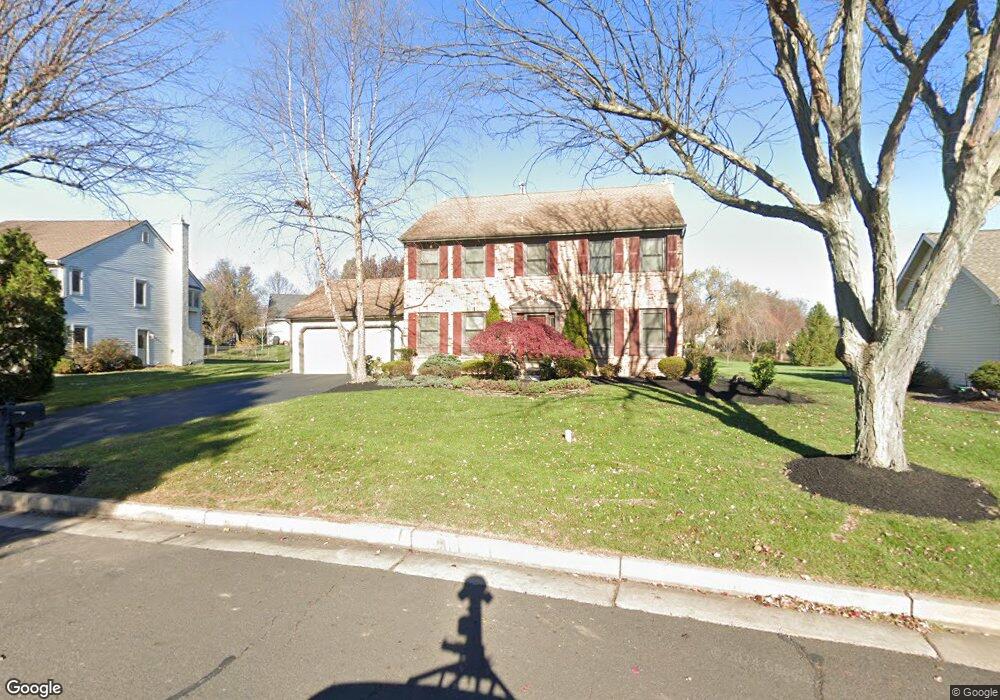
20 Zinnia Dr Newtown, PA 18940
Estimated Value: $838,484 - $917,000
4
Beds
3
Baths
2,442
Sq Ft
$361/Sq Ft
Est. Value
About This Home
This home is located at 20 Zinnia Dr, Newtown, PA 18940 and is currently estimated at $880,871, approximately $360 per square foot. 20 Zinnia Dr is a home located in Bucks County with nearby schools including Newtown Elementary School, Newtown Middle School, and Council Rock High School North.
Ownership History
Date
Name
Owned For
Owner Type
Purchase Details
Closed on
Nov 30, 1998
Sold by
Woodgate Stephen G
Bought by
Woodgate Stephen G and Woodgate Barbara
Current Estimated Value
Purchase Details
Closed on
Jun 24, 1998
Sold by
Cohen Mitchell D and Cohen Carri Jo
Bought by
Woodgate Stephen G
Home Financials for this Owner
Home Financials are based on the most recent Mortgage that was taken out on this home.
Original Mortgage
$238,500
Interest Rate
6.92%
Create a Home Valuation Report for This Property
The Home Valuation Report is an in-depth analysis detailing your home's value as well as a comparison with similar homes in the area
Home Values in the Area
Average Home Value in this Area
Purchase History
| Date | Buyer | Sale Price | Title Company |
|---|---|---|---|
| Woodgate Stephen G | -- | -- | |
| Woodgate Stephen G | $265,000 | -- |
Source: Public Records
Mortgage History
| Date | Status | Borrower | Loan Amount |
|---|---|---|---|
| Previous Owner | Woodgate Stephen G | $238,500 |
Source: Public Records
Tax History Compared to Growth
Tax History
| Year | Tax Paid | Tax Assessment Tax Assessment Total Assessment is a certain percentage of the fair market value that is determined by local assessors to be the total taxable value of land and additions on the property. | Land | Improvement |
|---|---|---|---|---|
| 2025 | $8,154 | $45,880 | $11,160 | $34,720 |
| 2024 | $8,154 | $45,880 | $11,160 | $34,720 |
| 2023 | $7,801 | $45,880 | $11,160 | $34,720 |
| 2022 | $7,650 | $45,880 | $11,160 | $34,720 |
| 2021 | $7,531 | $45,880 | $11,160 | $34,720 |
| 2020 | $7,169 | $45,880 | $11,160 | $34,720 |
| 2019 | $6,999 | $45,880 | $11,160 | $34,720 |
| 2018 | $6,866 | $45,880 | $11,160 | $34,720 |
| 2017 | $6,628 | $45,880 | $11,160 | $34,720 |
| 2016 | $6,582 | $45,880 | $11,160 | $34,720 |
| 2015 | -- | $45,880 | $11,160 | $34,720 |
| 2014 | -- | $45,880 | $11,160 | $34,720 |
Source: Public Records
Map
Nearby Homes
- 4 Gladiola Cir
- 9 Tulip Dr
- 8 Periwinkle Place
- 83 Cypress Place
- 102 Broadleaf Place
- 316 Monterey Place
- 13 Sparrow Walk
- 10 Amy Cir
- 220 Stoopville Rd
- 7 Grace Cir
- 5 Pansy Ct
- 35 Elfreths Ct
- 95 Rittenhouse Cir Unit 92
- Lot 4 Ava Ct
- 101 Laurel Cir
- 2212 Society Place Unit D2
- 401 Society Place Unit A1
- 702 Society Place Unit A2
- 0 Augusta Dr Unit KINGSWOOD
- 0 Augusta Dr Unit MAYWEATHER
- 18 Zinnia Dr
- 22 Zinnia Dr
- 7 Daffodil Place
- 5 Daffodil Place
- 1 Hyacinth Ct
- 5 Water Lily Way
- 9 Daffodil Place
- 24 Zinnia Dr
- 16 Zinnia Dr
- 7 Water Lily Way
- 17 Zinnia Dr
- 3 Daffodil Place
- 9 Water Lily Way
- 3 Hyacinth Ct
- 26 Zinnia Dr
- 11 Daffodil Place
- 2 Hyacinth Ct
- 15 Zinnia Dr
- 11 Water Lily Way
- 6 Daffodil Place