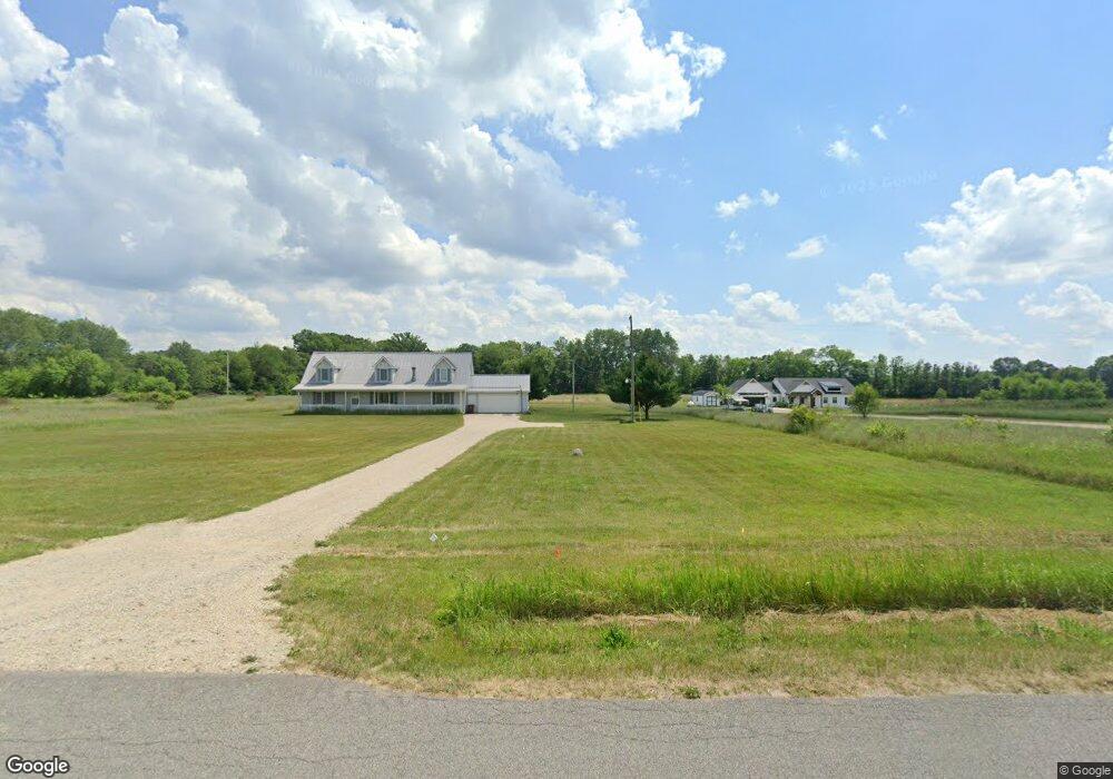
200 19 Mile Rd NE Cedar Springs, MI 49319
Estimated Value: $464,000 - $572,000
--
Bed
1
Bath
1,248
Sq Ft
$408/Sq Ft
Est. Value
About This Home
This home is located at 200 19 Mile Rd NE, Cedar Springs, MI 49319 and is currently estimated at $508,926, approximately $407 per square foot. 200 19 Mile Rd NE is a home located in Kent County with nearby schools including Kent City Elementary School, Kent City Middle School, and Kent City High School.
Ownership History
Date
Name
Owned For
Owner Type
Purchase Details
Closed on
Nov 29, 2022
Sold by
Chaney Ron A and Patti Jo
Bought by
Chaney Revocable Trust
Current Estimated Value
Purchase Details
Closed on
Jan 24, 2018
Sold by
Chaney Ron
Bought by
Chaney Ron and Chaney Patti
Home Financials for this Owner
Home Financials are based on the most recent Mortgage that was taken out on this home.
Original Mortgage
$228,000
Interest Rate
3.94%
Mortgage Type
New Conventional
Purchase Details
Closed on
Feb 13, 2017
Sold by
Calabrese Leo and Calabrese Barbara
Bought by
Chaney Ron
Purchase Details
Closed on
Feb 3, 2004
Sold by
Hinkley Melvin and Hinkley Mary Jo
Bought by
Calabrese Leo and Calabrese Barbara
Purchase Details
Closed on
Jun 27, 1995
Bought by
Calabrese Hinkley>Hinkley and Calabrese Leo
Create a Home Valuation Report for This Property
The Home Valuation Report is an in-depth analysis detailing your home's value as well as a comparison with similar homes in the area
Home Values in the Area
Average Home Value in this Area
Purchase History
| Date | Buyer | Sale Price | Title Company |
|---|---|---|---|
| Chaney Revocable Trust | -- | -- | |
| Chaney Ron | -- | None Available | |
| Chaney Ron | $55,000 | None Available | |
| Calabrese Leo | $51,000 | -- | |
| Calabrese Hinkley>Hinkley | -- | -- |
Source: Public Records
Mortgage History
| Date | Status | Borrower | Loan Amount |
|---|---|---|---|
| Previous Owner | Chaney Ron | $228,000 |
Source: Public Records
Tax History Compared to Growth
Tax History
| Year | Tax Paid | Tax Assessment Tax Assessment Total Assessment is a certain percentage of the fair market value that is determined by local assessors to be the total taxable value of land and additions on the property. | Land | Improvement |
|---|---|---|---|---|
| 2025 | $3,511 | $241,200 | $0 | $0 |
| 2024 | $3,511 | $223,200 | $0 | $0 |
| 2023 | $3,358 | $194,300 | $0 | $0 |
| 2022 | $4,341 | $179,400 | $0 | $0 |
| 2021 | $4,227 | $163,700 | $0 | $0 |
| 2020 | $3,090 | $152,200 | $0 | $0 |
| 2019 | $3,045 | $148,500 | $0 | $0 |
| 2018 | $4,042 | $132,300 | $0 | $0 |
| 2017 | $718 | $20,800 | $0 | $0 |
| 2016 | $533 | $18,000 | $0 | $0 |
| 2015 | -- | $18,000 | $0 | $0 |
| 2013 | -- | $19,000 | $0 | $0 |
Source: Public Records
Map
Nearby Homes
- 15175 Hanna Ave NE
- 560 Solon St NE
- 2195 20 Mile Rd NW
- 14035 Hanna Ave NE
- 14750 Sparta Ave
- 490 17 Mile Rd
- 13625 Krauskopf Rd NE
- 16343 Trent Ridge Dr
- 14766 Sparta Ave
- 14720 Sparta Ave NW
- 17460 Mcphail Ave NE
- 2103 Quarter Horse Dr NE
- 2169 Quarter Horse Dr NE
- 2217 Quarter Horse Dr NE Unit 27
- 2358 Quarter Horse Dr Unit 3
- The Taylor Plan at Saddlebrook - Hometown Series
- The Stockton Plan at Saddlebrook - Hometown Series
- The Stafford Plan at Saddlebrook - Hometown Series
- The Rowen Plan at Saddlebrook - Hometown Series
- The Mayfair Plan at Saddlebrook - Hometown Series
- 130 19 Mile Rd NE
- 150 19 Mile Rd NE
- 15400 Division Ave NE
- 120 19 Mile Rd NE
- 15500 Division Ave NE
- 100 19 Mile Rd NE
- 66 19 Mile Rd NE
- 316 19 Mile Rd NE
- 15560 Division Ave NE
- 56 19 Mile Rd NE
- 221 19 Mile Rd NE
- 34 19 Mile Rd NE
- 20 19 Mile Rd NE
- 315 19 Mile Rd NE
- 85 19 Mile Rd NE
- 9 19 Mile Rd NE Unit C
- 15288 Division Ave NE
- 391 19 Mile Rd NE
- 415 19 Mile Rd NE
- 465 19 Mile Rd NE