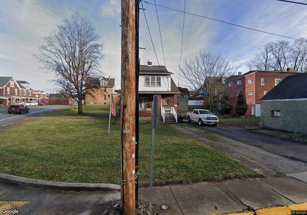
200 1st St Trafford, PA 15085
Estimated Value: $110,000 - $231,000
--
Bed
--
Bath
--
Sq Ft
8,364
Sq Ft Lot
About This Home
This home is located at 200 1st St, Trafford, PA 15085 and is currently estimated at $154,777. 200 1st St is a home located in Westmoreland County with nearby schools including Penn Trafford High School.
Ownership History
Date
Name
Owned For
Owner Type
Purchase Details
Closed on
Mar 30, 2018
Sold by
Foust Matthew C and Foust Pamela J
Bought by
Foust Pamela J
Current Estimated Value
Home Financials for this Owner
Home Financials are based on the most recent Mortgage that was taken out on this home.
Original Mortgage
$63,250
Outstanding Balance
$37,166
Interest Rate
4.43%
Mortgage Type
New Conventional
Estimated Equity
$117,611
Purchase Details
Closed on
Apr 11, 2002
Sold by
Hud
Bought by
Foust Matthew C and Foust Pamela J
Home Financials for this Owner
Home Financials are based on the most recent Mortgage that was taken out on this home.
Original Mortgage
$62,900
Interest Rate
6.85%
Purchase Details
Closed on
Nov 16, 2001
Sold by
Charles Scott D
Bought by
Hud
Create a Home Valuation Report for This Property
The Home Valuation Report is an in-depth analysis detailing your home's value as well as a comparison with similar homes in the area
Home Values in the Area
Average Home Value in this Area
Purchase History
| Date | Buyer | Sale Price | Title Company |
|---|---|---|---|
| Foust Pamela J | -- | None Available | |
| Foust Matthew C | $62,900 | -- | |
| Hud | $1,219 | -- |
Source: Public Records
Mortgage History
| Date | Status | Borrower | Loan Amount |
|---|---|---|---|
| Open | Foust Pamela J | $63,250 | |
| Closed | Foust Matthew C | $62,900 |
Source: Public Records
Tax History Compared to Growth
Tax History
| Year | Tax Paid | Tax Assessment Tax Assessment Total Assessment is a certain percentage of the fair market value that is determined by local assessors to be the total taxable value of land and additions on the property. | Land | Improvement |
|---|---|---|---|---|
| 2025 | $1,209 | $8,020 | $2,230 | $5,790 |
| 2024 | $1,201 | $8,020 | $2,230 | $5,790 |
| 2023 | $1,145 | $8,020 | $2,230 | $5,790 |
| 2022 | $1,133 | $8,020 | $2,230 | $5,790 |
| 2021 | $1,125 | $8,020 | $2,230 | $5,790 |
| 2020 | $1,117 | $8,020 | $2,230 | $5,790 |
| 2019 | $1,093 | $8,020 | $2,230 | $5,790 |
| 2018 | $1,081 | $8,020 | $2,230 | $5,790 |
| 2017 | $1,065 | $8,020 | $2,230 | $5,790 |
| 2016 | $1,037 | $8,020 | $2,230 | $5,790 |
| 2015 | $1,013 | $8,020 | $2,230 | $5,790 |
| 2014 | $997 | $8,020 | $2,230 | $5,790 |
Source: Public Records
Map
Nearby Homes
- 204 2nd St
- 227 Duquesne Ave
- 405 1st St
- 403 Gilmore Ave
- 100 Brownstone Ct Unit 1
- 15013 Murrysville Rd
- 514 Cavitt Ave
- 601 Brinton Ave
- 816 8th St
- 108 Hird Rd
- 1870 Haymaker Rd
- 239 Timber Dr
- 582 Forest Oaks Trail
- 101 Ardennes Ct
- . Old Ramsey Rd
- 216 Woodlawn Dr
- 320 Penn Lear Ct
- 670 Division St
- 126 Penn Lear Dr
- 642 Irwin St