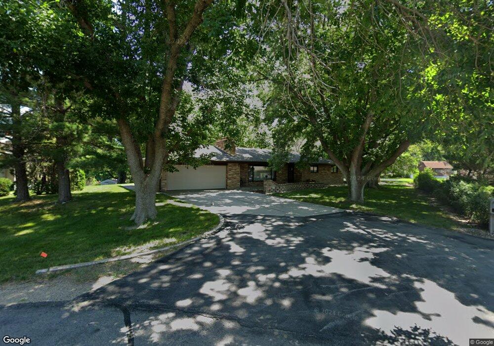
200 Agnes Ave Norfolk, NE 68701
Estimated Value: $311,000 - $383,000
3
Beds
2
Baths
1,908
Sq Ft
$182/Sq Ft
Est. Value
About This Home
This home is located at 200 Agnes Ave, Norfolk, NE 68701 and is currently estimated at $347,738, approximately $182 per square foot. 200 Agnes Ave is a home located in Madison County with nearby schools including Norfolk Senior High School, Keystone Christian Academy, and Christ Lutheran School.
Ownership History
Date
Name
Owned For
Owner Type
Purchase Details
Closed on
Aug 19, 2025
Sold by
Stolp William O
Bought by
Stolp William O and Horst Roxanne
Current Estimated Value
Purchase Details
Closed on
Jun 24, 2010
Sold by
Smith Dona Mae
Bought by
Stolp Janis L
Home Financials for this Owner
Home Financials are based on the most recent Mortgage that was taken out on this home.
Original Mortgage
$140,000
Interest Rate
4.87%
Mortgage Type
Purchase Money Mortgage
Create a Home Valuation Report for This Property
The Home Valuation Report is an in-depth analysis detailing your home's value as well as a comparison with similar homes in the area
Home Values in the Area
Average Home Value in this Area
Purchase History
| Date | Buyer | Sale Price | Title Company |
|---|---|---|---|
| Stolp William O | -- | None Listed On Document | |
| Stolp William O | -- | None Listed On Document | |
| Stolp Janis L | $160,000 | Rels Title |
Source: Public Records
Mortgage History
| Date | Status | Borrower | Loan Amount |
|---|---|---|---|
| Previous Owner | Stolp Janis L | $140,000 |
Source: Public Records
Tax History Compared to Growth
Tax History
| Year | Tax Paid | Tax Assessment Tax Assessment Total Assessment is a certain percentage of the fair market value that is determined by local assessors to be the total taxable value of land and additions on the property. | Land | Improvement |
|---|---|---|---|---|
| 2024 | $2,979 | $243,626 | $46,063 | $197,563 |
| 2023 | $4,449 | $240,670 | $24,706 | $215,964 |
| 2022 | $4,032 | $217,531 | $24,706 | $192,825 |
| 2021 | $3,683 | $201,610 | $24,706 | $176,904 |
| 2020 | $3,864 | $201,610 | $24,706 | $176,904 |
| 2019 | $3,714 | $188,506 | $24,706 | $163,800 |
| 2018 | $3,356 | $175,807 | $23,016 | $152,791 |
| 2017 | $3,174 | $163,191 | $23,016 | $140,175 |
| 2016 | $3,028 | $152,166 | $23,016 | $129,150 |
| 2015 | $2,989 | $152,166 | $23,016 | $129,150 |
| 2014 | $2,832 | $139,566 | $23,016 | $116,550 |
| 2013 | $2,937 | $139,566 | $23,016 | $116,550 |
Source: Public Records
Map
Nearby Homes
- 202 Agnes Ave
- 112 Agnes Ave
- 111 Agnes Ave
- 103 Morningside Dr
- 204 Agnes Ave
- 110 Agnes Ave
- 2002 Maurer Dr
- 2103 E Norfolk Ave
- 109 Agnes Ave
- 1912 Maurer Dr
- 2101 E Norfolk Ave
- 2004 Maurer Dr
- 2105 E Norfolk Ave
- 108 Agnes Ave
- 2005 E Norfolk Ave
- 105 Morningside Dr
- 1910 Maurer Dr
- 2006 Maurer Dr
- 107 Agnes Ave
- 2003 E Norfolk Ave