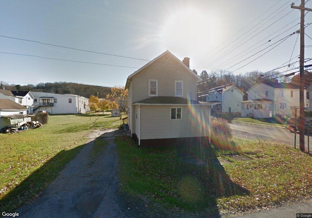
200 Alexander St Brockway, PA 15824
Estimated Value: $52,000 - $106,000
--
Bed
--
Bath
500
Sq Ft
$168/Sq Ft
Est. Value
About This Home
This home is located at 200 Alexander St, Brockway, PA 15824 and is currently estimated at $83,963, approximately $167 per square foot. 200 Alexander St is a home located in Jefferson County with nearby schools including Brockway Area Elementary School, Brockway Area Junior/Senior High School, and Hillside School.
Ownership History
Date
Name
Owned For
Owner Type
Purchase Details
Closed on
Jan 5, 2006
Sold by
Allshouse Gerald E and Allshouse Faye Aleen
Bought by
Mcconnell Alan W
Current Estimated Value
Home Financials for this Owner
Home Financials are based on the most recent Mortgage that was taken out on this home.
Original Mortgage
$45,125
Interest Rate
6.33%
Mortgage Type
New Conventional
Create a Home Valuation Report for This Property
The Home Valuation Report is an in-depth analysis detailing your home's value as well as a comparison with similar homes in the area
Home Values in the Area
Average Home Value in this Area
Purchase History
| Date | Buyer | Sale Price | Title Company |
|---|---|---|---|
| Mcconnell Alan W | $47,500 | None Available |
Source: Public Records
Mortgage History
| Date | Status | Borrower | Loan Amount |
|---|---|---|---|
| Closed | Mcconnell Alan W | $45,125 |
Source: Public Records
Tax History Compared to Growth
Tax History
| Year | Tax Paid | Tax Assessment Tax Assessment Total Assessment is a certain percentage of the fair market value that is determined by local assessors to be the total taxable value of land and additions on the property. | Land | Improvement |
|---|---|---|---|---|
| 2025 | $1,149 | $24,260 | $4,830 | $19,430 |
| 2024 | $1,311 | $24,260 | $4,830 | $19,430 |
| 2023 | $1,125 | $24,260 | $4,830 | $19,430 |
| 2022 | $1,125 | $24,260 | $4,830 | $19,430 |
| 2021 | $1,125 | $24,260 | $4,830 | $19,430 |
| 2020 | $1,125 | $24,260 | $4,830 | $19,430 |
| 2019 | $1,085 | $24,260 | $4,830 | $19,430 |
| 2018 | $1,038 | $24,260 | $4,830 | $19,430 |
| 2017 | $1,024 | $24,260 | $4,830 | $19,430 |
| 2016 | $925 | $24,260 | $4,830 | $19,430 |
| 2015 | -- | $24,260 | $4,830 | $19,430 |
| 2012 | -- | $24,260 | $4,830 | $19,430 |
Source: Public Records
Map
Nearby Homes
- 1074 10th Ave
- 1549 Main St
- 924 Elm St
- 0 U S 219
- 970 Baghdad Rd
- 19 Salandra Ln
- 7956 U S 219
- 425 Zuccolotto Ln
- 1083 Rattlesnake Rd
- 101 Howard Rd
- 5850 U S 219
- 5546 Stevenson Hill Rd
- 0 Coal Glen Rd
- 390 Galliot Ct
- 636 Cap Haitien Rd
- 0 Cap Haitien Rd Unit SEC 17 LOT 14
- 3585 Shawmut Rd
- 00 Pennsylvania 830
- 1032 Beechtree Rd
- 13 Cap Haitien Rd
- 1073 2nd Ave
- 224 Alexander St
- 1041 Chittester Way
- 201 Alexander St
- 1033 Chittester Way
- 1065 2nd Ave
- 1049 2nd Ave
- 1033 Chittester Way Unit 1033 1/2
- 1127 2nd Ave
- 1125 Chittester Way
- 1150 2nd Ave
- 209 Main St Unit 227
- 201 Main St
- 1160 2nd Ave
- 1049 3rd Ave
- 1041 3rd Ave
- 1155 2nd Ave
- 150 Alexander St
- 1101 3rd Ave
- 1033 3rd Ave