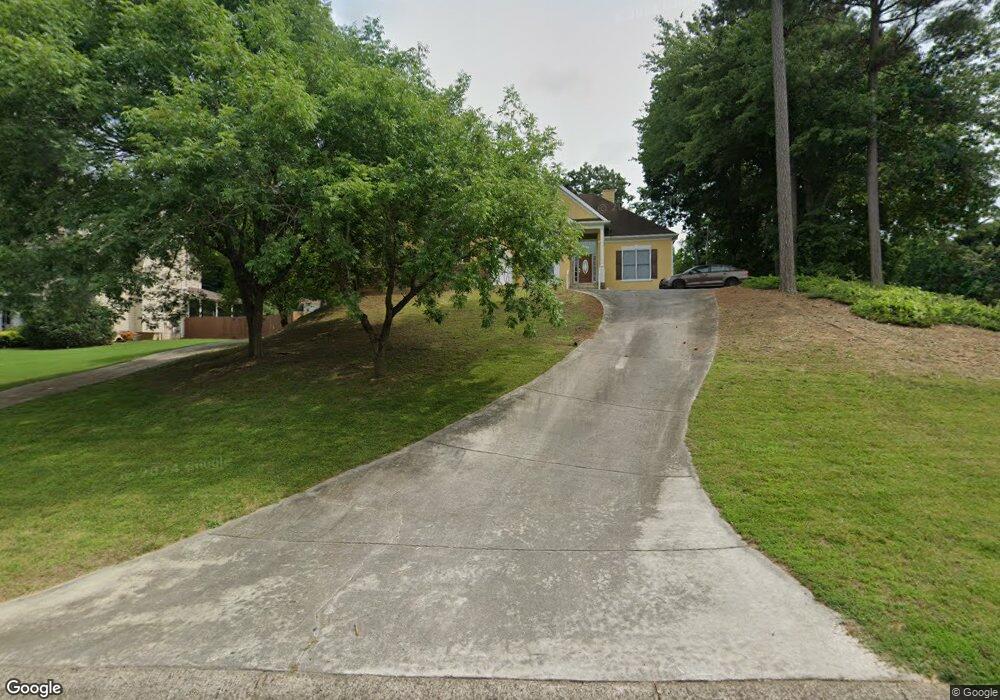
200 Allison Dr Unit 1 Woodstock, GA 30188
Union Hill NeighborhoodEstimated Value: $464,134 - $465,000
3
Beds
3
Baths
2,083
Sq Ft
$223/Sq Ft
Est. Value
About This Home
This home is located at 200 Allison Dr Unit 1, Woodstock, GA 30188 and is currently estimated at $464,567, approximately $223 per square foot. 200 Allison Dr Unit 1 is a home located in Cherokee County with nearby schools including Johnston Elementary School, Mill Creek Middle School, and River Ridge High School.
Ownership History
Date
Name
Owned For
Owner Type
Purchase Details
Closed on
Nov 7, 1997
Sold by
Bill Wilcox Builders Inc
Bought by
Blanks Willie A
Current Estimated Value
Home Financials for this Owner
Home Financials are based on the most recent Mortgage that was taken out on this home.
Original Mortgage
$163,200
Outstanding Balance
$28,060
Interest Rate
8.7%
Estimated Equity
$436,507
Create a Home Valuation Report for This Property
The Home Valuation Report is an in-depth analysis detailing your home's value as well as a comparison with similar homes in the area
Home Values in the Area
Average Home Value in this Area
Purchase History
| Date | Buyer | Sale Price | Title Company |
|---|---|---|---|
| Blanks Willie A | $192,000 | -- |
Source: Public Records
Mortgage History
| Date | Status | Borrower | Loan Amount |
|---|---|---|---|
| Open | Blanks Willie A | $163,200 |
Source: Public Records
Tax History Compared to Growth
Tax History
| Year | Tax Paid | Tax Assessment Tax Assessment Total Assessment is a certain percentage of the fair market value that is determined by local assessors to be the total taxable value of land and additions on the property. | Land | Improvement |
|---|---|---|---|---|
| 2025 | $1,076 | $190,232 | $40,800 | $149,432 |
| 2024 | $1,040 | $180,152 | $40,800 | $139,352 |
| 2023 | $913 | $184,064 | $40,800 | $143,264 |
| 2022 | $1,024 | $160,256 | $32,000 | $128,256 |
| 2021 | $1,036 | $141,244 | $30,000 | $111,244 |
| 2020 | $993 | $128,676 | $21,200 | $107,476 |
| 2019 | $962 | $120,320 | $20,000 | $100,320 |
| 2018 | $948 | $111,960 | $17,600 | $94,360 |
| 2017 | $949 | $265,800 | $17,600 | $88,720 |
| 2016 | $967 | $258,200 | $17,600 | $85,680 |
| 2015 | $963 | $249,100 | $17,600 | $82,040 |
| 2014 | $919 | $236,800 | $17,600 | $77,120 |
Source: Public Records
Map
Nearby Homes
- 414 New Park Dr
- 161 Stoney Creek Pkwy
- 5830 Mill Creek Ln
- 707 Evans St
- 505 Lost Creek Dr
- 614 Springharbor Dr
- 224 Stone Park Dr
- 711 Evans St
- 160 Highlands Dr
- 133 Madison Bend
- 147 Madison Bend
- 151 Springwater Trace
- 306 Serenity Way
- 145 Archie Way
- 713 Parkside Dr
- 126 Highlands Dr Unit 1
- 531 Fox Creek Crossing
- 515 Evans Ln
- 102 Copper Ridge Dr
- 105 Copper Ridge Dr
- 201 Allison Dr
- 302 Dane Dr Unit 1
- 300 Dane Dr Unit 1
- 103 Copper Ridge Dr Unit 1
- 107 Copper Ridge Dr Unit 1
- 203 Allison Dr Unit 1
- 108 Copper Ridge Dr Unit 1
- 0 Dane Dr Unit 8178383
- 205 Allison Dr Unit 1
- 109 Copper Ridge Dr
- 100 Copper Ridge Dr
- 207 Allison Dr
- 305 Dane Dr Unit 1
- 301 Dane Dr
- 101 Copper Ridge Dr
- 111 Copper Ridge Dr Unit 1
- 303 Dane Dr
- 113 Copper Ridge Dr Unit 1