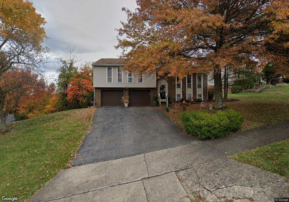
200 Arcola Dr Coraopolis, PA 15108
Estimated Value: $305,000 - $357,000
3
Beds
3
Baths
1,494
Sq Ft
$220/Sq Ft
Est. Value
About This Home
This home is located at 200 Arcola Dr, Coraopolis, PA 15108 and is currently estimated at $328,191, approximately $219 per square foot. 200 Arcola Dr is a home located in Allegheny County with nearby schools including Moon Area High School, Montessori Children's Community, and St James Elementary School.
Ownership History
Date
Name
Owned For
Owner Type
Purchase Details
Closed on
Oct 12, 2009
Sold by
Carter Charles L and Carter Sue Elaine
Bought by
Yetsick Kathryn M
Current Estimated Value
Home Financials for this Owner
Home Financials are based on the most recent Mortgage that was taken out on this home.
Original Mortgage
$157,675
Outstanding Balance
$102,854
Interest Rate
5.06%
Mortgage Type
New Conventional
Estimated Equity
$225,337
Purchase Details
Closed on
Nov 11, 2006
Sold by
Pfeifer Robert L
Bought by
Carter Charles L
Home Financials for this Owner
Home Financials are based on the most recent Mortgage that was taken out on this home.
Original Mortgage
$140,000
Interest Rate
6.4%
Mortgage Type
New Conventional
Purchase Details
Closed on
Sep 30, 1999
Sold by
Godlasky Charles A
Bought by
Pfeifer Robert L and Pfeifer Betty Jane
Create a Home Valuation Report for This Property
The Home Valuation Report is an in-depth analysis detailing your home's value as well as a comparison with similar homes in the area
Home Values in the Area
Average Home Value in this Area
Purchase History
| Date | Buyer | Sale Price | Title Company |
|---|---|---|---|
| Yetsick Kathryn M | $185,500 | -- | |
| Carter Charles L | $175,000 | -- | |
| Pfeifer Robert L | $149,900 | -- |
Source: Public Records
Mortgage History
| Date | Status | Borrower | Loan Amount |
|---|---|---|---|
| Open | Yetsick Kathryn M | $157,675 | |
| Previous Owner | Carter Charles L | $140,000 |
Source: Public Records
Tax History
| Year | Tax Paid | Tax Assessment Tax Assessment Total Assessment is a certain percentage of the fair market value that is determined by local assessors to be the total taxable value of land and additions on the property. | Land | Improvement |
|---|---|---|---|---|
| 2025 | $4,620 | $147,800 | $38,500 | $109,300 |
| 2024 | $4,620 | $147,800 | $38,500 | $109,300 |
| 2023 | $4,455 | $147,800 | $38,500 | $109,300 |
| 2022 | $4,455 | $147,800 | $38,500 | $109,300 |
| 2021 | $4,753 | $147,800 | $38,500 | $109,300 |
| 2020 | $4,344 | $147,800 | $38,500 | $109,300 |
| 2019 | $4,225 | $147,800 | $38,500 | $109,300 |
| 2017 | $3,995 | $147,800 | $38,500 | $109,300 |
Source: Public Records
Map
Nearby Homes
- 245 Wyngate Rd
- 206 Walton Cir
- 208 Walton Cir
- 1000 College Park Dr
- 136 Heldon Dr
- 526 College Park Dr
- 421 Wyndhurst Dr
- 224 Foxwood Rd
- 453 Amherst Ave
- 166 Elk Ridge Dr
- 227 Elk Ridge Dr
- 446 Amherst Ave
- 1490 Olde Stable Ln
- 180 Rosemont Dr
- 631 Forest Green Dr
- 314 Forest Green Dr Unit 314
- 732 Forest Green Dr
- 603 Meade Dr
- 133 Tory Rd
- 5085 Sanlin Dr
Your Personal Tour Guide
Ask me questions while you tour the home.