200 Atlantic Ave Westport, MA 02790
Acoaxet NeighborhoodEstimated Value: $2,161,000 - $2,995,000
3
Beds
--
Bath
3,914
Sq Ft
$701/Sq Ft
Est. Value
About This Home
This home is located at 200 Atlantic Ave, Westport, MA 02790 and is currently estimated at $2,742,829, approximately $700 per square foot. 200 Atlantic Ave is a home located in Bristol County with nearby schools including Alice A. Macomber Primary School, Westport Elementary School, and Westport Middle-High School.
Ownership History
Date
Name
Owned For
Owner Type
Purchase Details
Closed on
Jun 8, 2020
Sold by
Lawrence Kathryn B and Swift Lawrence E
Bought by
Laird Nicholas B and Laird Hanne B
Current Estimated Value
Purchase Details
Closed on
Apr 16, 2004
Sold by
Lawrence Ft and Lawrence E Swift
Bought by
Lawrence E Swift and Lawrence Kathryn B
Create a Home Valuation Report for This Property
The Home Valuation Report is an in-depth analysis detailing your home's value as well as a comparison with similar homes in the area
Home Values in the Area
Average Home Value in this Area
Purchase History
| Date | Buyer | Sale Price | Title Company |
|---|---|---|---|
| Laird Nicholas B | $1,600,000 | None Available | |
| Lawrence E Swift | -- | -- |
Source: Public Records
Mortgage History
| Date | Status | Borrower | Loan Amount |
|---|---|---|---|
| Previous Owner | Lawrence E Swift | $183,600 | |
| Previous Owner | Lawrence E Swift | $190,000 | |
| Previous Owner | Lawrence E Swift | $30,000 |
Source: Public Records
Tax History Compared to Growth
Tax History
| Year | Tax Paid | Tax Assessment Tax Assessment Total Assessment is a certain percentage of the fair market value that is determined by local assessors to be the total taxable value of land and additions on the property. | Land | Improvement |
|---|---|---|---|---|
| 2025 | $18,203 | $2,443,300 | $1,333,700 | $1,109,600 |
| 2024 | $16,870 | $2,182,400 | $1,235,800 | $946,600 |
| 2023 | $15,110 | $1,851,700 | $1,177,000 | $674,700 |
| 2022 | $13,308 | $1,754,300 | $1,177,000 | $577,300 |
| 2021 | $13,308 | $1,543,900 | $1,070,200 | $473,700 |
| 2020 | $12,654 | $1,501,100 | $1,027,400 | $473,700 |
| 2019 | $13,785 | $1,666,900 | $1,201,600 | $465,300 |
| 2018 | $10,943 | $1,339,400 | $888,600 | $450,800 |
| 2017 | $10,616 | $1,332,000 | $876,100 | $455,900 |
| 2016 | $10,536 | $1,332,000 | $876,100 | $455,900 |
| 2015 | $10,142 | $1,278,900 | $876,100 | $402,800 |
Source: Public Records
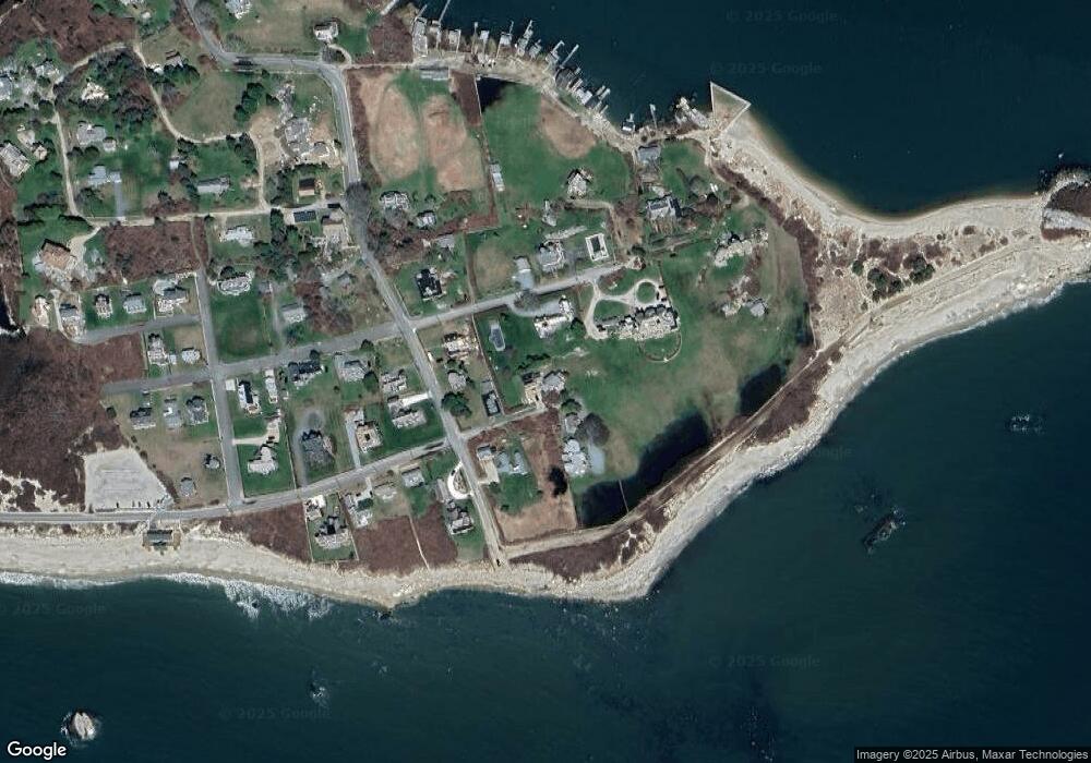
Map
Nearby Homes
- 304 Brayton Point Rd
- 189 Brayton Point Rd
- 19 Seabury Ln
- 0 Reed Rd (Ss)
- 1881 Main Rd
- 1749 Main Rd
- 1702J Drift Rd
- 255 John Dyer Rd
- 1702 Drift Rd
- 1580 Main Rd
- 18 Old Barn Rd
- 245 John Dyer Rd
- 128 Maple Ave
- 1346 Main Rd Unit B
- 238-242 E Beach Rd
- 505 Long Hwy
- 141 S Of Commons Rd
- 17 Quail Trail
- 99 Sylvia Ln
- 0 Willow Ave
- 55 Prospect Ave
- 194 Atlantic Ave
- 46 Acoaxet Rd
- 201 Atlantic Ave
- 201 Atlantic Ave Unit Ocean Front 1 BR
- 58 Acoaxet Rd
- 40 Acoaxet Rd
- 63 Prospect Ave Unit 6
- 63 Prospect Ave Unit 5
- 63 Prospect Ave Unit 4
- 63 Prospect Ave Unit 3
- 63 Prospect Ave Unit 2
- 63 Prospect Ave Unit 1
- 58 Prospect Ave
- 182 Atlantic Ave
- 0 Withheld Unit 70271091
- 0 Withheld Unit 70900083
- 43 Acoaxet Rd
- 42 Prospect Ave
- 63 Acoaxet Rd Unit Rd