200 Baker Hill Rd Hortense, GA 31543
Estimated Value: $272,656 - $443,000
--
Bed
2
Baths
2,014
Sq Ft
$176/Sq Ft
Est. Value
About This Home
This home is located at 200 Baker Hill Rd, Hortense, GA 31543 and is currently estimated at $354,914, approximately $176 per square foot. 200 Baker Hill Rd is a home located in Brantley County with nearby schools including Waynesville Primary School, Atkinson Elementary School, and Brantley County Middle School.
Ownership History
Date
Name
Owned For
Owner Type
Purchase Details
Closed on
Mar 13, 2007
Sold by
Dyson Varnie Randolph
Bought by
Dyson Varnie Randolph and Dyson Patricia
Current Estimated Value
Purchase Details
Closed on
Jul 19, 2005
Sold by
Brooks Gerald L
Bought by
Dyson Varnie Randolph and Dyson Varnie Randolph
Create a Home Valuation Report for This Property
The Home Valuation Report is an in-depth analysis detailing your home's value as well as a comparison with similar homes in the area
Home Values in the Area
Average Home Value in this Area
Purchase History
| Date | Buyer | Sale Price | Title Company |
|---|---|---|---|
| Dyson Varnie Randolph | -- | -- | |
| Dyson Varnie Randolph | $148,500 | -- |
Source: Public Records
Tax History Compared to Growth
Tax History
| Year | Tax Paid | Tax Assessment Tax Assessment Total Assessment is a certain percentage of the fair market value that is determined by local assessors to be the total taxable value of land and additions on the property. | Land | Improvement |
|---|---|---|---|---|
| 2024 | $2,253 | $91,950 | $14,752 | $77,198 |
| 2023 | $1,751 | $91,950 | $14,752 | $77,198 |
| 2022 | $2,231 | $90,950 | $14,752 | $76,198 |
| 2021 | $2,261 | $73,684 | $14,752 | $58,932 |
| 2020 | $2,330 | $73,684 | $14,752 | $58,932 |
| 2019 | $2,492 | $73,684 | $14,752 | $58,932 |
| 2018 | $2,454 | $72,505 | $14,752 | $57,753 |
| 2017 | $2,454 | $72,505 | $14,752 | $57,753 |
| 2016 | $2,538 | $72,505 | $14,752 | $57,753 |
| 2015 | -- | $72,505 | $14,752 | $57,753 |
Source: Public Records
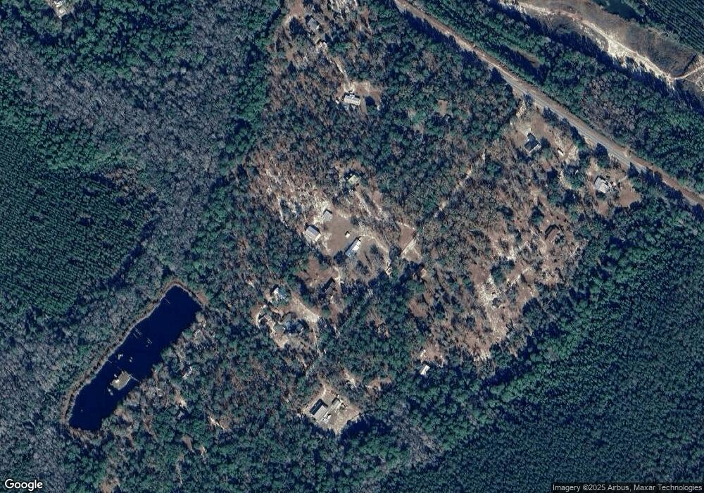
Map
Nearby Homes
- 288 Rattler Run
- 0 Rattler Run
- 43 Dutch Rd
- 277 Carl Burney Rd
- 235 Gibson Cir
- 647 Gibson Cir
- 00 Hwy #32 Hwy #99 Tract 1
- 00 Hwy #32 Hwy #99 Tract 2
- 0 Post Rd Unit 1648928
- 2101 Albert Gibson Rd
- 6406 Mount Pleasant Rd
- 6432 Mount Pleasant Rd
- 3069 Mineral Springs Rd
- 5021 Ward St
- 7535 Browntown Rd
- 11211 Georgia 110
- 5298 E Glynn Ave
- 0 Heritage Cir Unit 1655955
- 0 Heritage Cir Unit 1656067
- 0 Heritage Cir Unit 1655952
- 200 Baker Hill Rd
- 200 Baker Hill Rd
- 252 Baker Hill Rd
- 150 Baker Hill Rd
- 177 Baker Hill Rd
- 298 Baker Hill Rd
- 237 Baker Hill Rd
- 71 Baker Hill Rd
- 10 Baker Hill Rd
- 56 Baker Hill Rd
- 337 Baker Hill Rd
- 509 Rr 3
- 511 Rr 3
- 496 Baker Hill Rd
- 23 Baker Hill Rd
- 414 Baker Hill Rd
- 443 Baker Hill Rd
- 7AC Baker Hill Rd
- 16716 Highway 32 E
- 16452 Highway 32 E