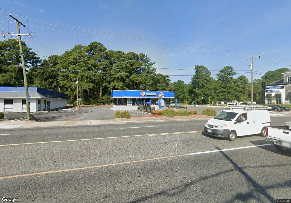
200 Battlefield Blvd S Chesapeake, VA 23322
Greenbrier West NeighborhoodEstimated Value: $761,194
--
Bed
--
Bath
2,532
Sq Ft
$301/Sq Ft
Est. Value
About This Home
This home is located at 200 Battlefield Blvd S, Chesapeake, VA 23322 and is currently estimated at $761,194, approximately $300 per square foot. 200 Battlefield Blvd S is a home located in Chesapeake City with nearby schools including B.M. Williams Primary School, Crestwood Intermediate School, and Crestwood Middle School.
Ownership History
Date
Name
Owned For
Owner Type
Purchase Details
Closed on
Aug 24, 2020
Sold by
Mid Atlantic Dairy Queen Llc
Bought by
City Of Chesapeake Virginia
Current Estimated Value
Purchase Details
Closed on
Dec 18, 2009
Sold by
Wongng L L C
Bought by
Mid Atlantic Dairy Queen
Home Financials for this Owner
Home Financials are based on the most recent Mortgage that was taken out on this home.
Original Mortgage
$350,000
Interest Rate
5%
Mortgage Type
Commercial
Create a Home Valuation Report for This Property
The Home Valuation Report is an in-depth analysis detailing your home's value as well as a comparison with similar homes in the area
Home Values in the Area
Average Home Value in this Area
Purchase History
| Date | Buyer | Sale Price | Title Company |
|---|---|---|---|
| City Of Chesapeake Virginia | $13,983 | Attorney | |
| Mid Atlantic Dairy Queen | $450,000 | -- |
Source: Public Records
Mortgage History
| Date | Status | Borrower | Loan Amount |
|---|---|---|---|
| Previous Owner | Mid Atlantic Dairy Queen | $350,000 |
Source: Public Records
Tax History Compared to Growth
Tax History
| Year | Tax Paid | Tax Assessment Tax Assessment Total Assessment is a certain percentage of the fair market value that is determined by local assessors to be the total taxable value of land and additions on the property. | Land | Improvement |
|---|---|---|---|---|
| 2025 | $6,957 | $740,000 | $469,400 | $270,600 |
| 2024 | $6,957 | $688,800 | $415,700 | $273,100 |
| 2023 | $7,657 | $738,500 | $415,700 | $322,800 |
| 2022 | $7,457 | $738,300 | $415,700 | $322,600 |
| 2021 | $8,255 | $786,200 | $415,700 | $370,500 |
| 2020 | $7,520 | $716,200 | $342,300 | $373,900 |
| 2019 | $7,451 | $709,600 | $342,300 | $367,300 |
| 2018 | $6,698 | $637,900 | $317,900 | $320,000 |
| 2017 | $6,593 | $627,900 | $317,900 | $310,000 |
| 2016 | $6,080 | $579,000 | $269,000 | $310,000 |
| 2015 | $5,790 | $551,400 | $269,000 | $282,400 |
| 2014 | $5,670 | $540,000 | $269,000 | $271,000 |
Source: Public Records
Map
Nearby Homes
- 169 Harbor Watch Dr
- 404 Tranquility Trace
- 223 Wildlife Trace
- 339 Conservation Crossing
- 313 Preservation Reach
- 308 Wildlife Trace
- 335 Preservation Reach
- 209 Britwell Dr
- 401 Preservation Reach
- 407 Preservation Reach
- 724 Firethorn Rd
- 412 Preservation Loop
- 101 Stadium Dr
- 401 Bracknell Arch Unit C
- 416 Woodberry Dr
- 533 E Lake Cir
- 500 Deal Island Ct
- 960 Bells Mill Rd
- 405 Sand Willow Ct
- 640 W Lake Cir
- 102 Harbor Watch Dr
- 100 Harbor Watch Dr
- 106 Harbor Watch Dr
- 101 Harbor Watch Dr
- 104 Harbor Watch Dr
- 103 Harbor Watch Dr
- 110 Harbor Watch Dr
- 105 Harbor Watch Dr Unit 102
- 105 Harbor Watch Dr
- 108 Harbor Watch Dr
- 107 Harbor Watch Dr
- 109 Harbor Watch Dr
- 114 Harbor Watch Dr
- 615 Harbor Watch Dr
- 111 Harbor Watch Dr
- 113 Harbor Watch Dr
- 118 Harbor Watch Dr
- 118 Harbor Watch Dr Unit 118
- 116 Harbor Watch Dr
- 115 Harbor Watch Dr