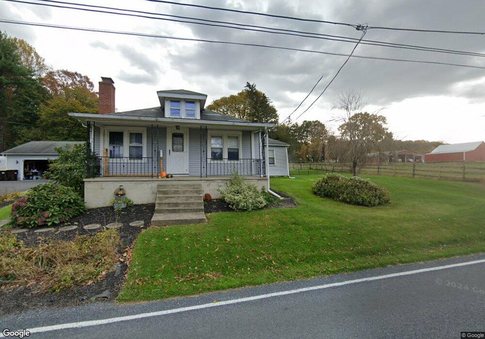
200 Belfast Rd Wind Gap, PA 18091
Estimated Value: $272,261 - $302,000
3
Beds
1
Bath
1,186
Sq Ft
$244/Sq Ft
Est. Value
About This Home
This home is located at 200 Belfast Rd, Wind Gap, PA 18091 and is currently estimated at $289,065, approximately $243 per square foot. 200 Belfast Rd is a home located in Northampton County with nearby schools including Kenneth N Butz Elementary School, Nazareth Area Middle School, and Nazareth Area High School.
Ownership History
Date
Name
Owned For
Owner Type
Purchase Details
Closed on
Oct 30, 2013
Sold by
Kemmerer Robert E and Petchel Tationia L
Bought by
Cottrill Kimberly
Current Estimated Value
Home Financials for this Owner
Home Financials are based on the most recent Mortgage that was taken out on this home.
Original Mortgage
$152,551
Outstanding Balance
$113,810
Interest Rate
4.24%
Mortgage Type
New Conventional
Estimated Equity
$175,255
Purchase Details
Closed on
Aug 27, 2010
Sold by
Hahn Rita A
Bought by
Kemmerer Robert E and Kemmerer Tationia L
Home Financials for this Owner
Home Financials are based on the most recent Mortgage that was taken out on this home.
Original Mortgage
$274,000
Interest Rate
4.55%
Mortgage Type
Future Advance Clause Open End Mortgage
Create a Home Valuation Report for This Property
The Home Valuation Report is an in-depth analysis detailing your home's value as well as a comparison with similar homes in the area
Home Values in the Area
Average Home Value in this Area
Purchase History
| Date | Buyer | Sale Price | Title Company |
|---|---|---|---|
| Cottrill Kimberly | $145,000 | None Available | |
| Kemmerer Robert E | $274,000 | None Available |
Source: Public Records
Mortgage History
| Date | Status | Borrower | Loan Amount |
|---|---|---|---|
| Open | Cottrill Kimberly | $152,551 | |
| Previous Owner | Kemmerer Robert E | $274,000 |
Source: Public Records
Tax History
| Year | Tax Paid | Tax Assessment Tax Assessment Total Assessment is a certain percentage of the fair market value that is determined by local assessors to be the total taxable value of land and additions on the property. | Land | Improvement |
|---|---|---|---|---|
| 2025 | $449 | $41,600 | $20,900 | $20,700 |
| 2024 | $3,154 | $41,600 | $20,900 | $20,700 |
| 2023 | $3,124 | $41,600 | $20,900 | $20,700 |
| 2022 | $3,124 | $41,600 | $20,900 | $20,700 |
| 2021 | $3,122 | $41,600 | $20,900 | $20,700 |
| 2020 | $3,122 | $41,600 | $20,900 | $20,700 |
| 2019 | $3,070 | $41,600 | $20,900 | $20,700 |
| 2018 | $3,019 | $41,600 | $20,900 | $20,700 |
| 2017 | $2,967 | $41,600 | $20,900 | $20,700 |
| 2016 | -- | $41,600 | $20,900 | $20,700 |
| 2015 | -- | $41,600 | $20,900 | $20,700 |
| 2014 | -- | $41,600 | $20,900 | $20,700 |
Source: Public Records
Map
Nearby Homes
- 901 Renaldi Rd
- 1147 Jacobsburg Rd
- 108 E Douglasville Rd
- 102 E Moorestown Rd
- 379 Meyer Rd
- 6366 Sullivan Trail
- 488 Sportsman Club Rd
- 635 Kathleen Dr
- 500 Belfast Rd
- 0 Romaneve Dr
- 1480 Bushkill Center Rd
- 0 Pennsylvania 33
- 901 Meyer Rd
- 409 Colver Rd
- 257 Hoffman Rd
- 455 Bushkill Center Rd
- 968 Bangor Rd
- 1501 Corkscrew Dr Unit 13
- 0 Male Rd
- 1506 Corkscrew Dr Unit 2
Your Personal Tour Guide
Ask me questions while you tour the home.