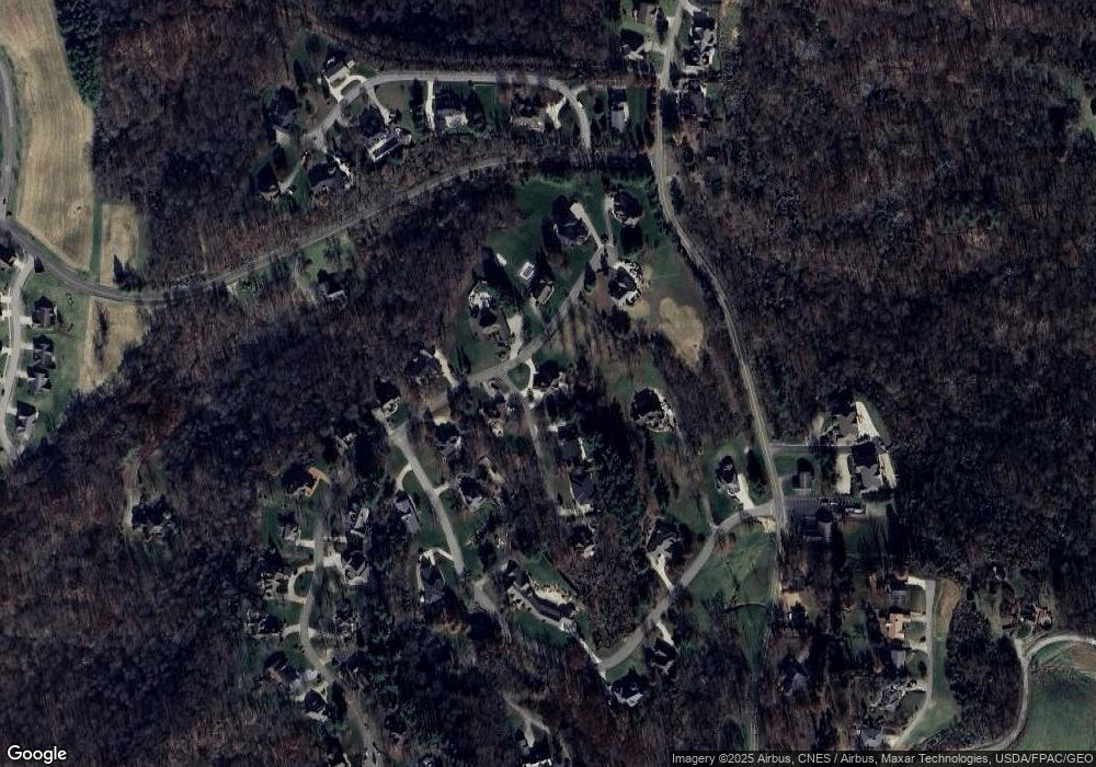
200 Belle Meadow Dr Marietta, OH 45750
Estimated Value: $588,337 - $701,000
4
Beds
5
Baths
3,556
Sq Ft
$185/Sq Ft
Est. Value
About This Home
This home is located at 200 Belle Meadow Dr, Marietta, OH 45750 and is currently estimated at $657,334, approximately $184 per square foot. 200 Belle Meadow Dr is a home located in Washington County with nearby schools including Marietta High School and Marietta Christian School.
Ownership History
Date
Name
Owned For
Owner Type
Purchase Details
Closed on
Oct 6, 2022
Sold by
Dale And Courtney Knight Family Trust
Bought by
Belle Meadow Llc
Current Estimated Value
Purchase Details
Closed on
Jun 22, 2010
Sold by
Fulton Mark E
Bought by
Knight Dale A and Knight Courtney A
Purchase Details
Closed on
Jul 18, 2001
Bought by
Knight Dale A and Knight Courtney
Purchase Details
Closed on
Feb 16, 1999
Bought by
Treloar Charles F
Purchase Details
Closed on
Jul 3, 1991
Bought by
Peoples Banking & Trust
Create a Home Valuation Report for This Property
The Home Valuation Report is an in-depth analysis detailing your home's value as well as a comparison with similar homes in the area
Home Values in the Area
Average Home Value in this Area
Purchase History
| Date | Buyer | Sale Price | Title Company |
|---|---|---|---|
| Belle Meadow Llc | $375 | -- | |
| Knight Dale A | $575,000 | None Available | |
| Knight Dale A | $405,000 | -- | |
| Treloar Charles F | $57,500 | -- | |
| Peoples Banking & Trust | $4,000 | -- |
Source: Public Records
Tax History Compared to Growth
Tax History
| Year | Tax Paid | Tax Assessment Tax Assessment Total Assessment is a certain percentage of the fair market value that is determined by local assessors to be the total taxable value of land and additions on the property. | Land | Improvement |
|---|---|---|---|---|
| 2024 | $6,454 | $190,460 | $6,620 | $183,840 |
| 2023 | $6,454 | $190,460 | $6,620 | $183,840 |
| 2022 | $6,227 | $190,460 | $6,620 | $183,840 |
| 2021 | $5,758 | $167,000 | $6,620 | $160,380 |
| 2020 | $5,790 | $167,000 | $6,620 | $160,380 |
| 2019 | $5,778 | $167,000 | $6,620 | $160,380 |
| 2018 | $5,662 | $159,030 | $6,300 | $152,730 |
| 2017 | $5,647 | $159,030 | $6,300 | $152,730 |
| 2016 | $10,205 | $159,030 | $6,300 | $152,730 |
| 2015 | $5,246 | $141,250 | $6,740 | $134,510 |
| 2014 | $9,078 | $141,250 | $6,740 | $134,510 |
| 2013 | $5,236 | $141,250 | $6,740 | $134,510 |
Source: Public Records
Map
Nearby Homes
- 107 Country Meadow Dr
- 120 Meadow Ln
- 8 Mountain Laurel Dr
- 6 Mountain Laurel Dr
- 5 Mountain Laurel Dr
- 3 Mountain Laurel Dr
- 0 Mountain Laurel Dr
- 2585 Glendale Rd
- 105 Woodcrest Dr
- 1099 Colegate Dr
- 1 Hickory Ln
- 0 Academy Dr
- 120 Woodcrest Dr
- 1320 Caywood Rd
- 520 Millgate Rd
- 332 Muskingum Dr
- 0 Ohio 26 Unit LotWP001 23010810
- 111 Hanson Dr
- 123 Deerwalk Cir
- 0 0 State Route 26 Rear Oh
- 102 Belle Meadow Dr
- 103 Locust Ln
- 201 Belle Meadow Dr
- 102 Sassafras Trail
- 203 Belle Meadow Dr
- 105 Locust Ln
- 100 Belle Meadow Dr
- 103 Belle Meadow Dr
- 204 Grant Edwards Dr
- 300 Belle Meadow Dr
- 107 Locust Ln
- 101 Belle Meadow Dr
- 303 Belle Meadow Dr
- 104 Grant Edwards Dr
- 305 Belle Meadow Dr
- 205 Grant Edwards Dr
- 106 Grant Edwards Dr
- 200 Grant Edwards Dr
- 100 Windy Point
- 109 Grant Edwards Dr
