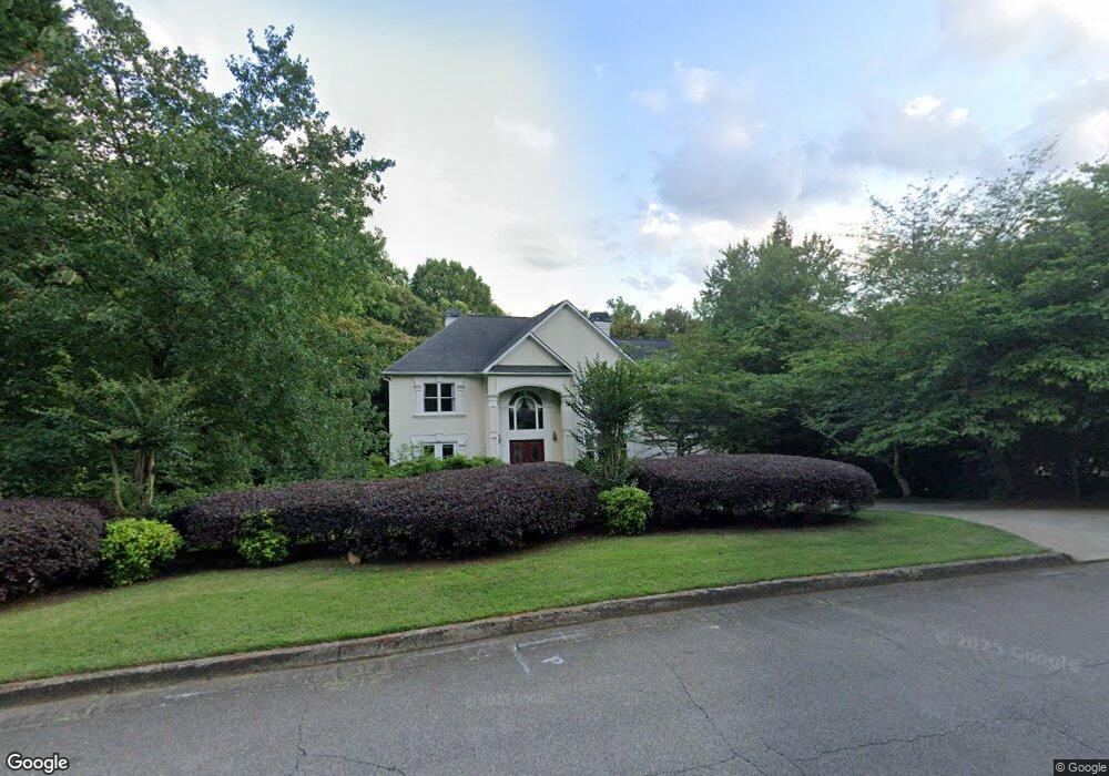
200 Boulder Dr Unit 2 Roswell, GA 30075
Estimated Value: $687,000 - $1,018,000
4
Beds
4
Baths
3,123
Sq Ft
$274/Sq Ft
Est. Value
About This Home
This home is located at 200 Boulder Dr Unit 2, Roswell, GA 30075 and is currently estimated at $856,322, approximately $274 per square foot. 200 Boulder Dr Unit 2 is a home located in Fulton County with nearby schools including Roswell North Elementary School, Crabapple Middle School, and High Meadows School.
Ownership History
Date
Name
Owned For
Owner Type
Purchase Details
Closed on
May 31, 1996
Sold by
Atlantic Dev Const Inc
Bought by
Dorff Robert K Deborah A
Current Estimated Value
Purchase Details
Closed on
Jan 4, 1996
Sold by
Bagher Mahbobeh
Bought by
Atlantic Dev Const Inc
Create a Home Valuation Report for This Property
The Home Valuation Report is an in-depth analysis detailing your home's value as well as a comparison with similar homes in the area
Home Values in the Area
Average Home Value in this Area
Purchase History
| Date | Buyer | Sale Price | Title Company |
|---|---|---|---|
| Dorff Robert K Deborah A | $282,200 | -- | |
| Atlantic Dev Const Inc | $10,000 | -- |
Source: Public Records
Mortgage History
| Date | Status | Borrower | Loan Amount |
|---|---|---|---|
| Closed | Dorff Robert K Deborah A | $0 |
Source: Public Records
Tax History Compared to Growth
Tax History
| Year | Tax Paid | Tax Assessment Tax Assessment Total Assessment is a certain percentage of the fair market value that is determined by local assessors to be the total taxable value of land and additions on the property. | Land | Improvement |
|---|---|---|---|---|
| 2025 | $996 | $273,160 | $63,080 | $210,080 |
| 2023 | $5,418 | $191,960 | $37,240 | $154,720 |
| 2022 | $4,222 | $191,960 | $37,240 | $154,720 |
| 2021 | $4,986 | $186,400 | $36,160 | $150,240 |
| 2020 | $5,058 | $184,160 | $35,720 | $148,440 |
| 2019 | $797 | $180,920 | $35,080 | $145,840 |
| 2018 | $4,645 | $176,680 | $34,280 | $142,400 |
| 2017 | $4,178 | $155,160 | $37,480 | $117,680 |
| 2016 | $4,178 | $155,160 | $37,480 | $117,680 |
| 2015 | $5,041 | $155,160 | $37,480 | $117,680 |
| 2014 | $4,365 | $155,160 | $37,480 | $117,680 |
Source: Public Records
Map
Nearby Homes
- 110 Boulder Dr
- 2655 Boulder Creek Dr NE
- 2696 Long Lake Terrace NE
- 2482 N Forest Dr
- 5250 Pikes Peak Ct
- 4013 Lake Pointe Cir Unit 4013
- 3113 Lake Pointe Cir
- 3210 Lake Pointe Cir
- 2661 Sandpoint Way NE
- 1204 Lake Pointe Cir
- 1009 Lake Pointe Cir
- 2859 Tynewick Dr NE
- 2255 Rushmore Dr
- 4035 Connolly Ct
- 1215 Ridgefield Dr
- 2212 Heritage Trace View
- 210 Boulder Dr
- 190 Boulder Dr
- 180 Boulder Dr
- 540 Boulder Way
- 185 Boulder Dr
- 215 Boulder Dr
- 220 Boulder Dr
- 520 Boulder Way
- 550 Boulder Way
- 170 Boulder Dr
- 155 Boulder Dr
- 530 Boulder Way
- 225 Boulder Dr Unit 2
- 0 Boulder Way Unit 8933558
- 560 Boulder Way
- 125 Boulder Dr Unit 108
- 160 Boulder Dr
- 570 Boulder Way
- 2654 Boulder Creek Dr NE Unit 1
- 235 Boulder Dr